Hasta Machu Picchu

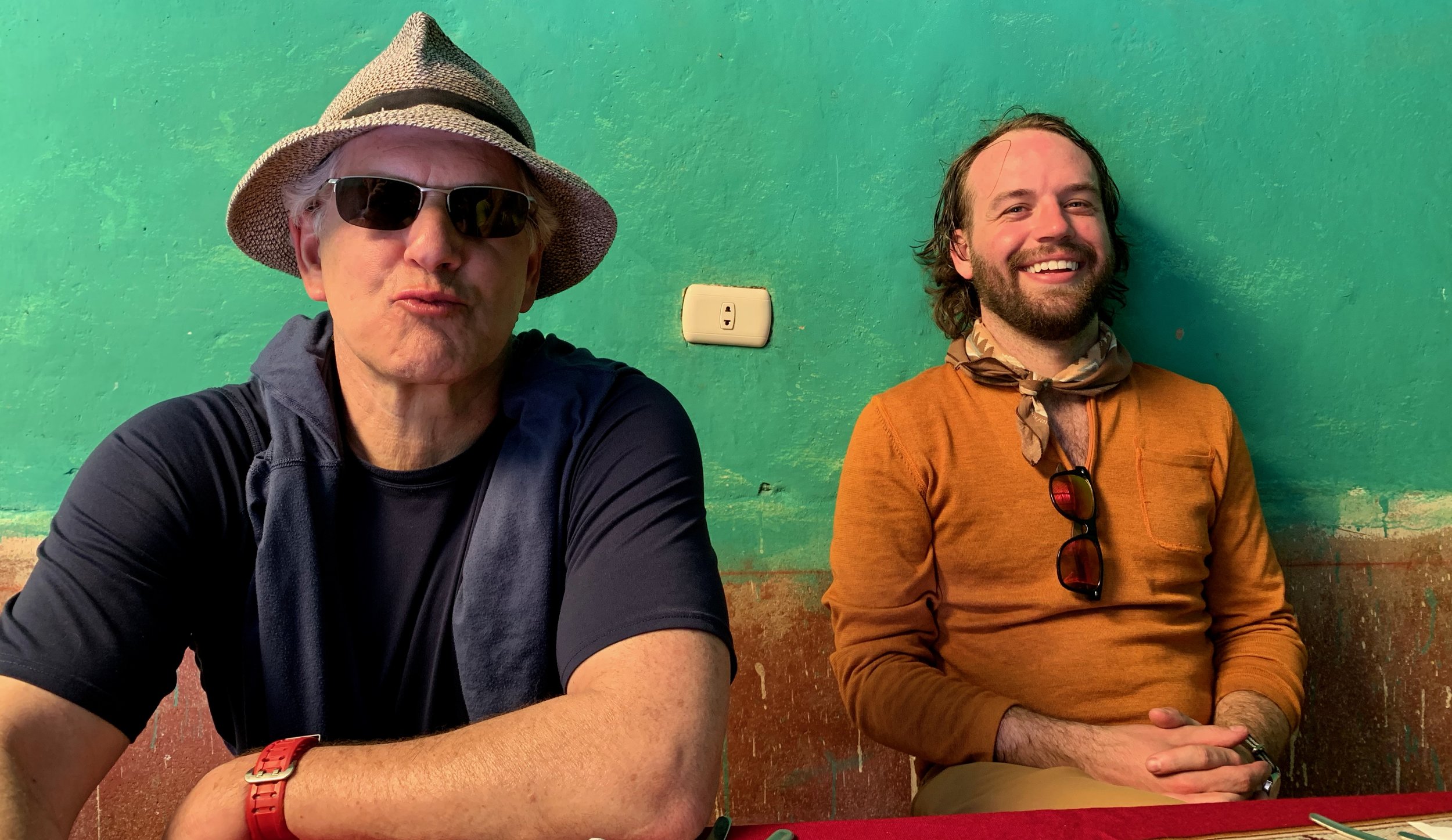
Los Sospechosos
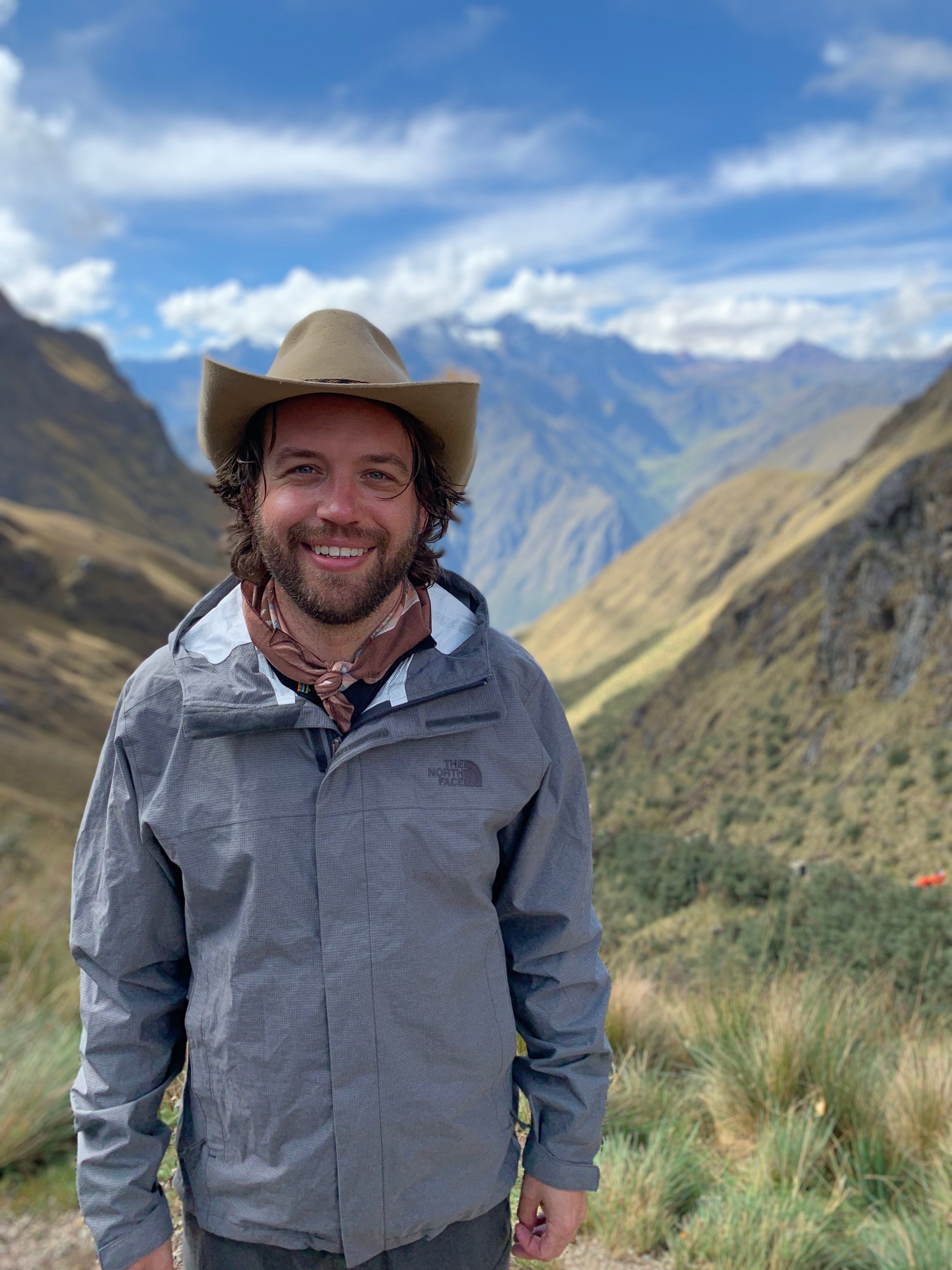
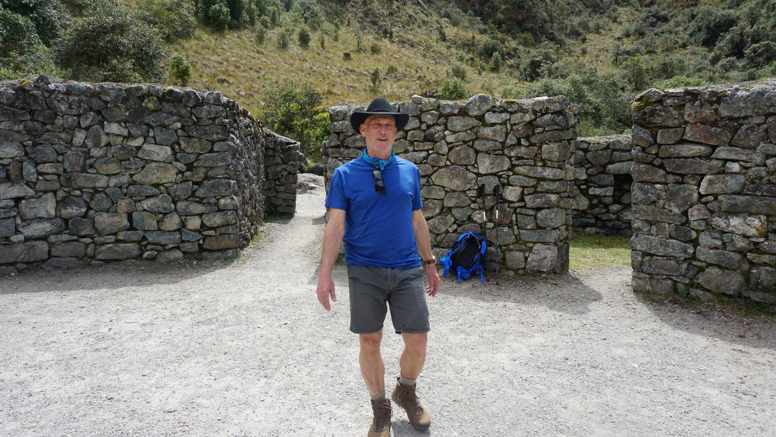
When a man like Bob invites you to his 60th birthday, the only sensible way to accept the invitation is with vigor. The destination was Machu Picchu by way of The Classic Inca Trail. My decision to go required little thinking.
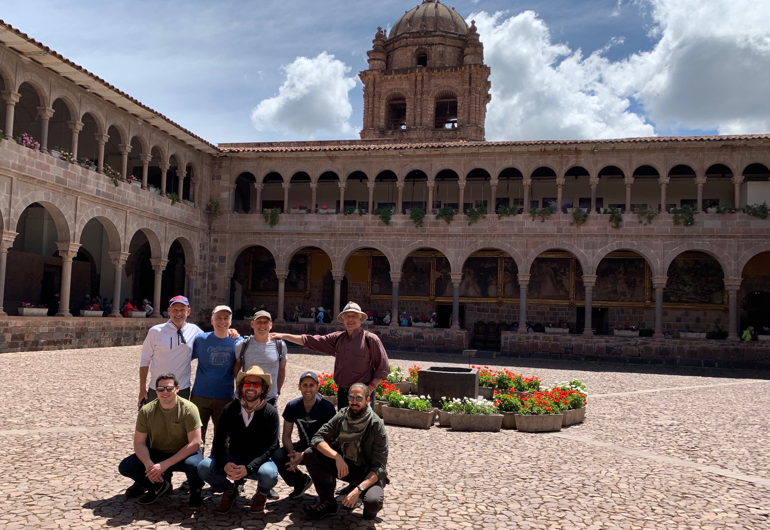
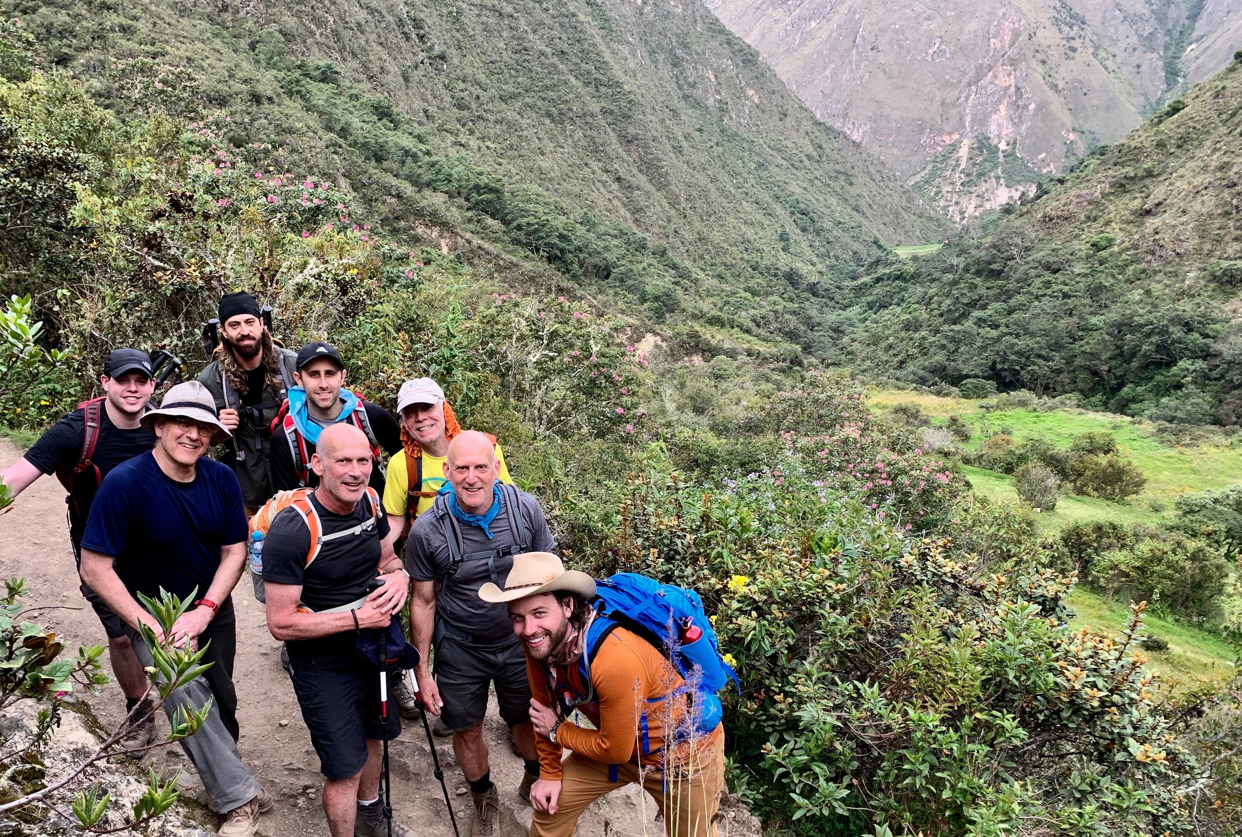
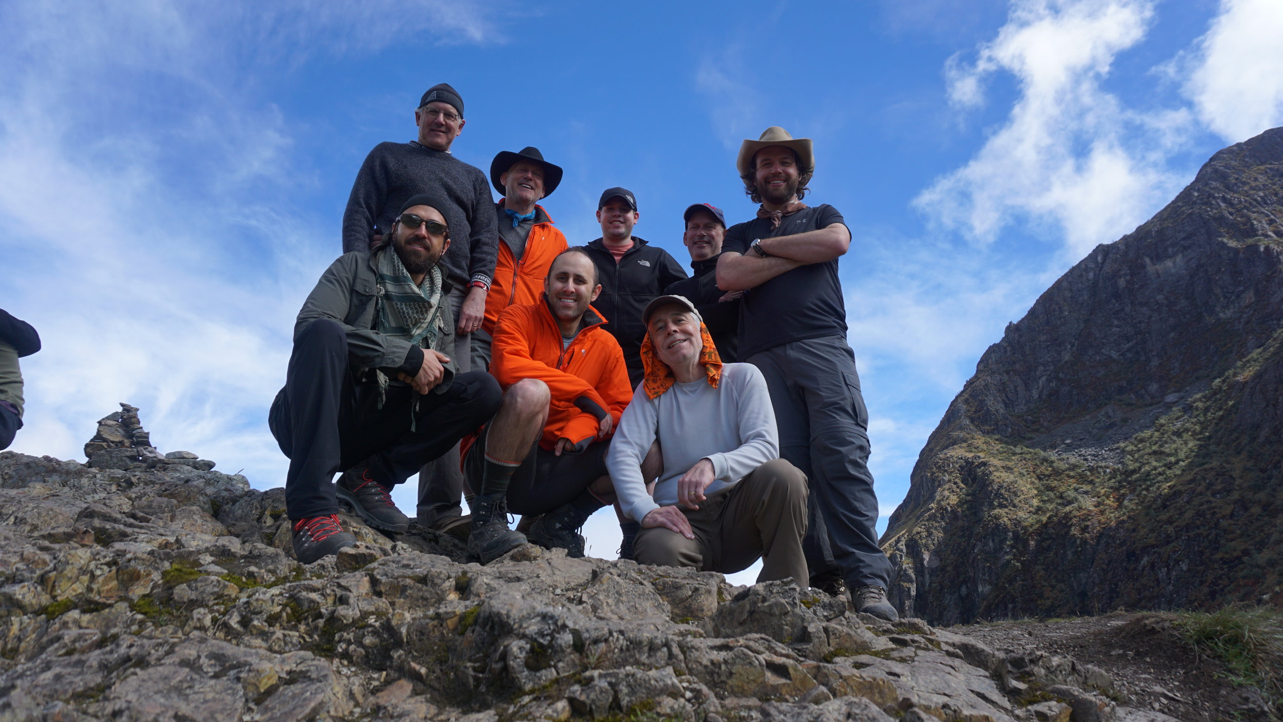
Our crew would be motley, comprised of friends and relations from varying eras of Bob’s life. Not all of us knew one another from the outset so our trip would serve as a rallying point for new friendship and camaraderie. Our methods were to lean into experience, to eat a lot, and to tell as many stories as we could (probably louder than we needed to).


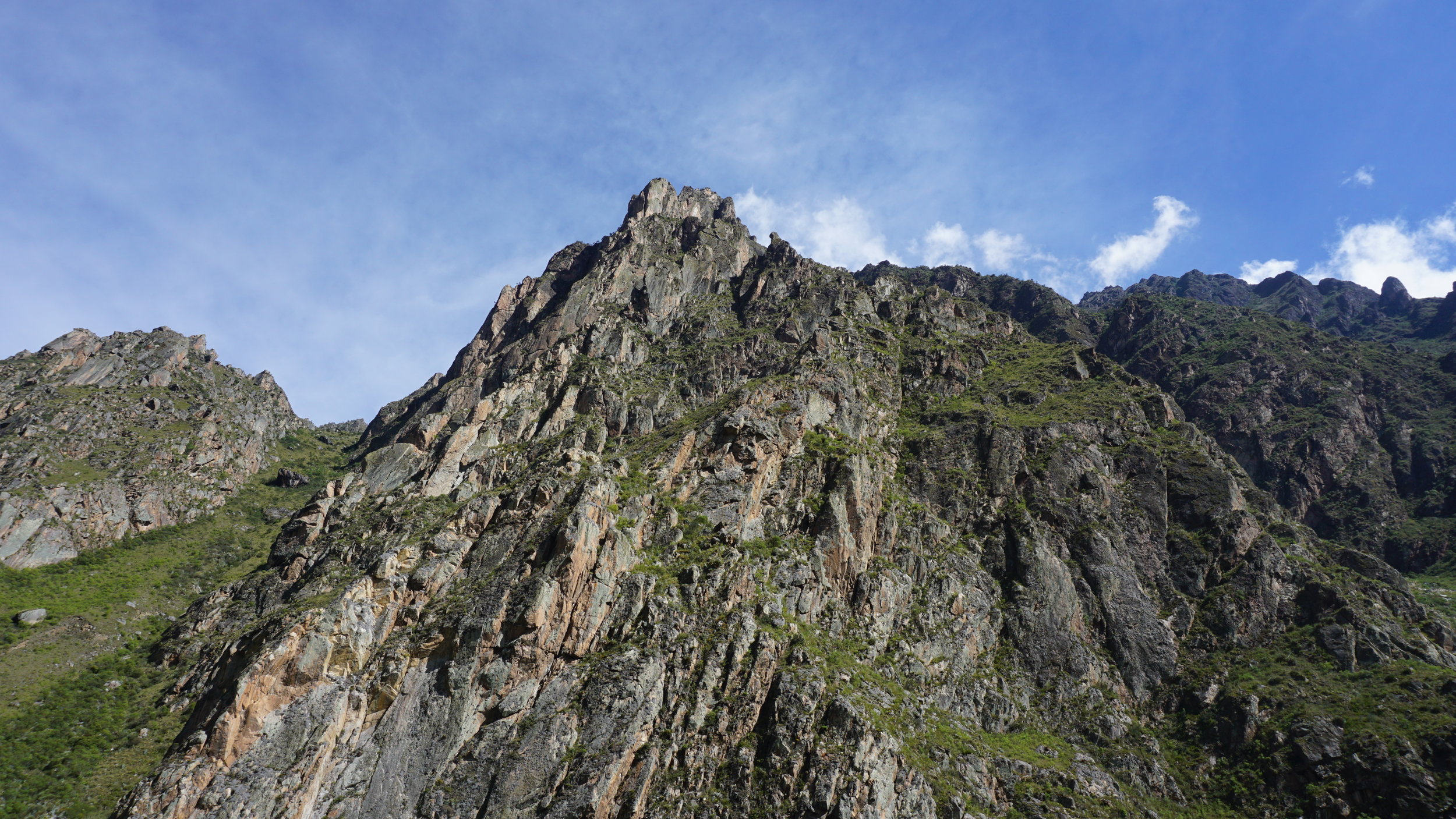
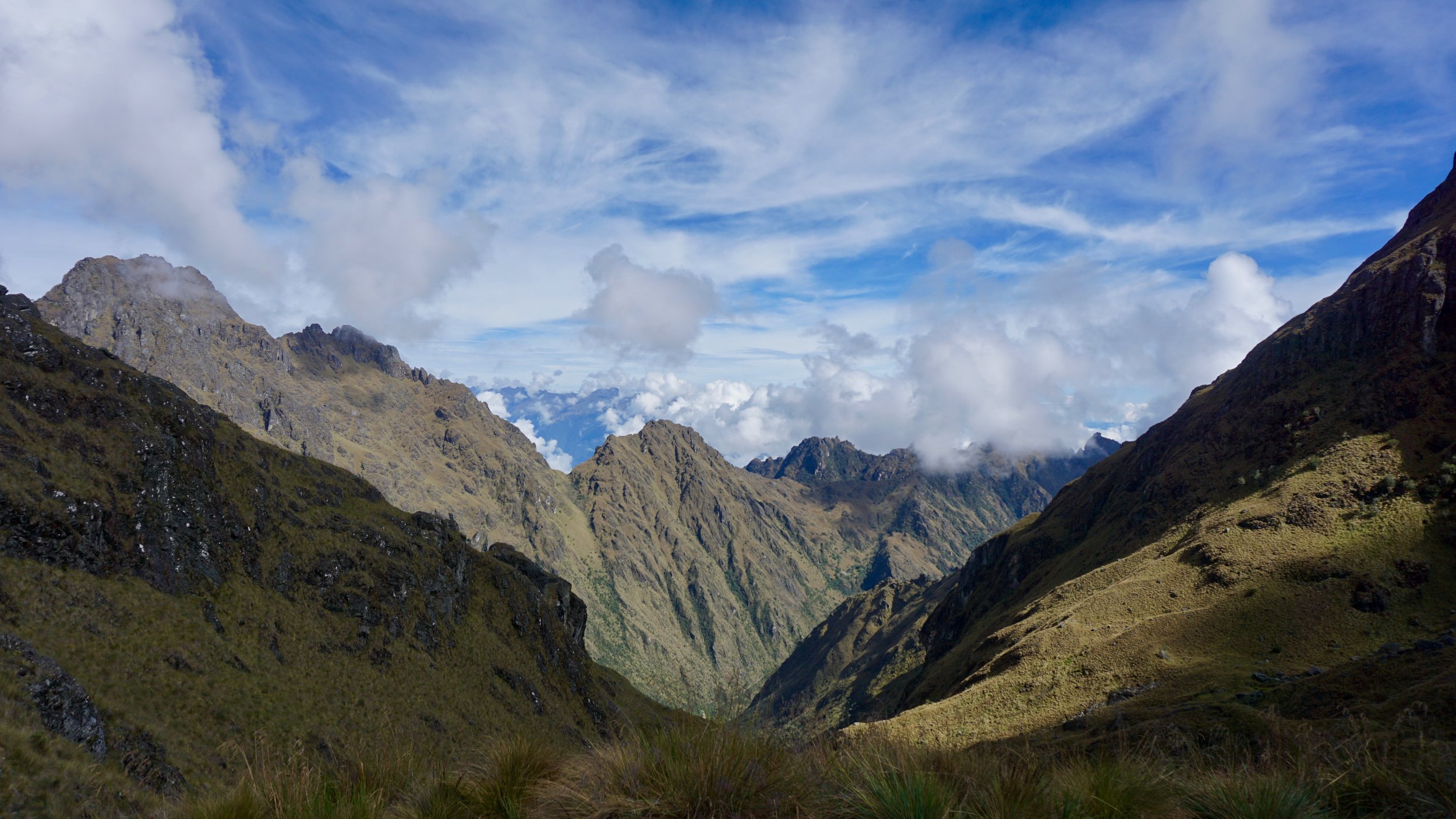
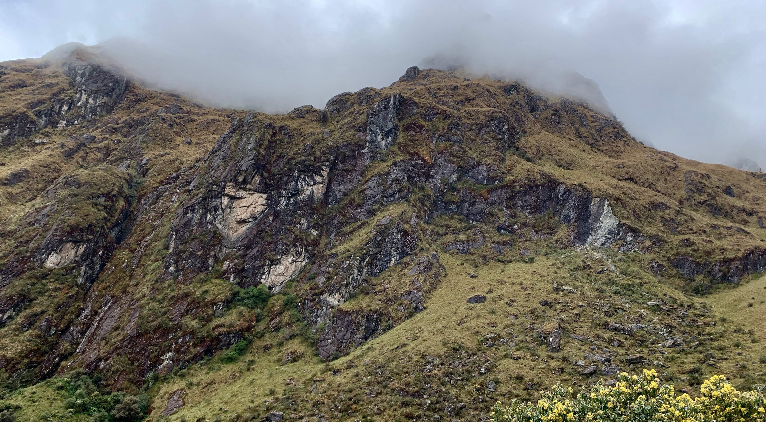
There are many overlapping trails that lead to Machu Picchu. The Classic Inca Trail, the most popular route and the one we took, starts 82 kilometers from Cuzco along the famed railway line at about 9,186 ft - 2,800 m in altitude. It winds high into the Andes mountains, passing uncountable Incan ruins along the way. In four days it only covers about 27 mi - 45 km, but is the toughest trail I've backpacked to date (and I’ve backpacked a lot). The idea was to arrive at Machu Picchu at sunrise on the fourth day, entering through the Sun Gate, descending into the famous citadel before the crowds submerge it completely.
Obviously there is greater commentary I could offer for the range of topics that emerge in this write up of our trip, but if you’ve got the interest, go do some reading. There are many great books on The Inca and Peru. If you have the means, this trip is an unforgettable experience and I highly recommend doing it. Drop me a line if you have any specific questions and I’ll be happy to answer.
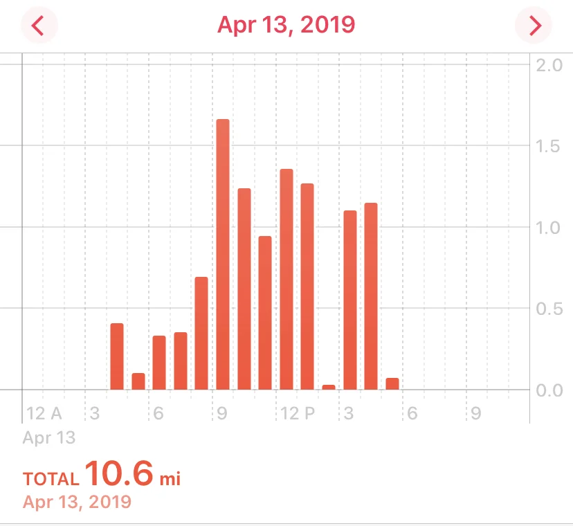
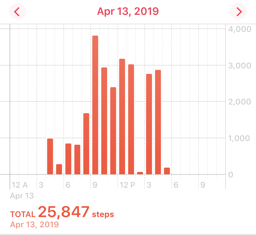
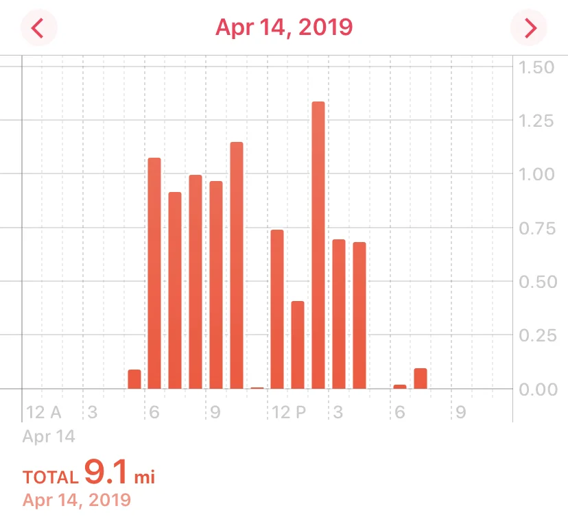
This gives a very basic sense of the elevations we hit along the trail over 4 days. The altitude was no joke for we lowland gringos.
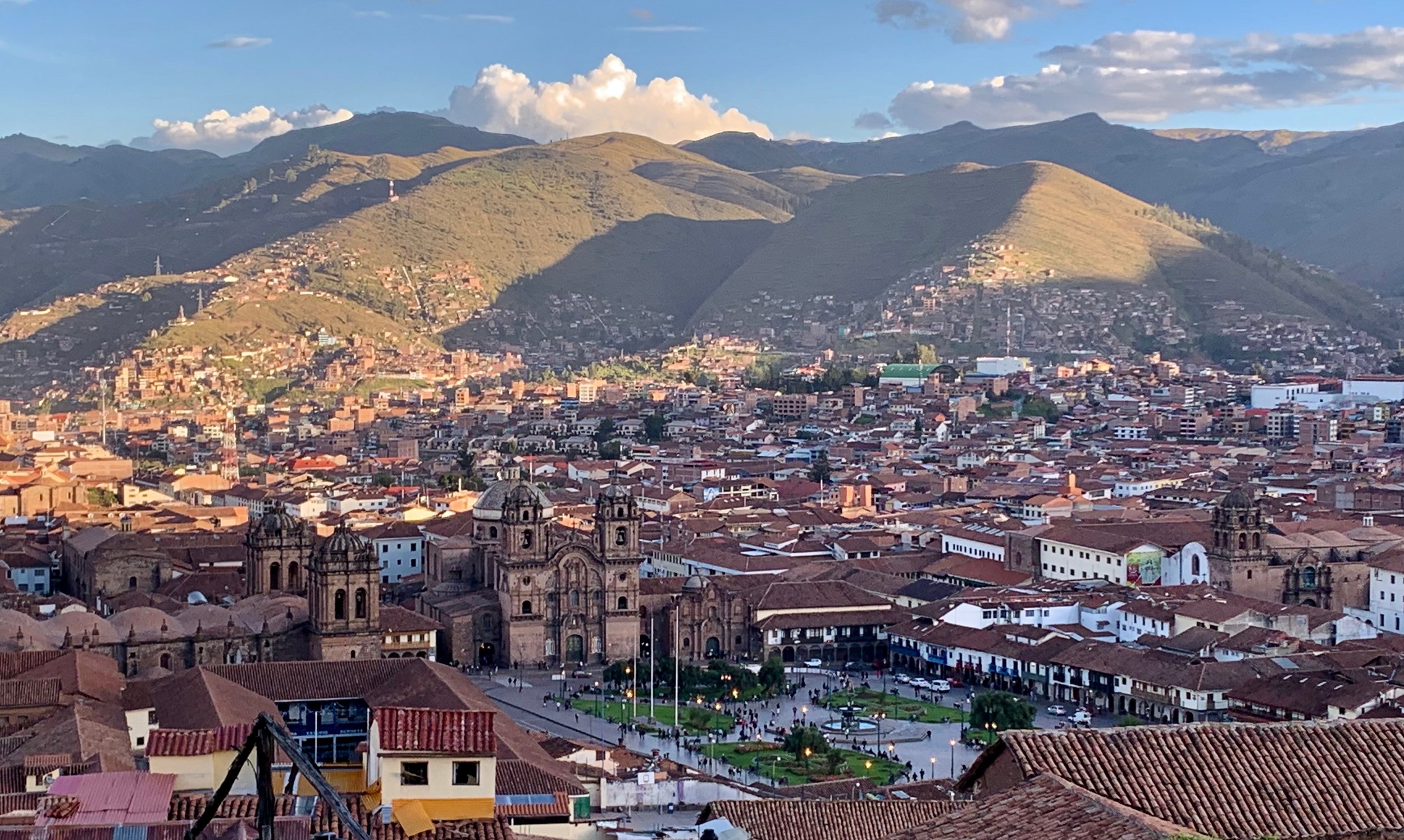
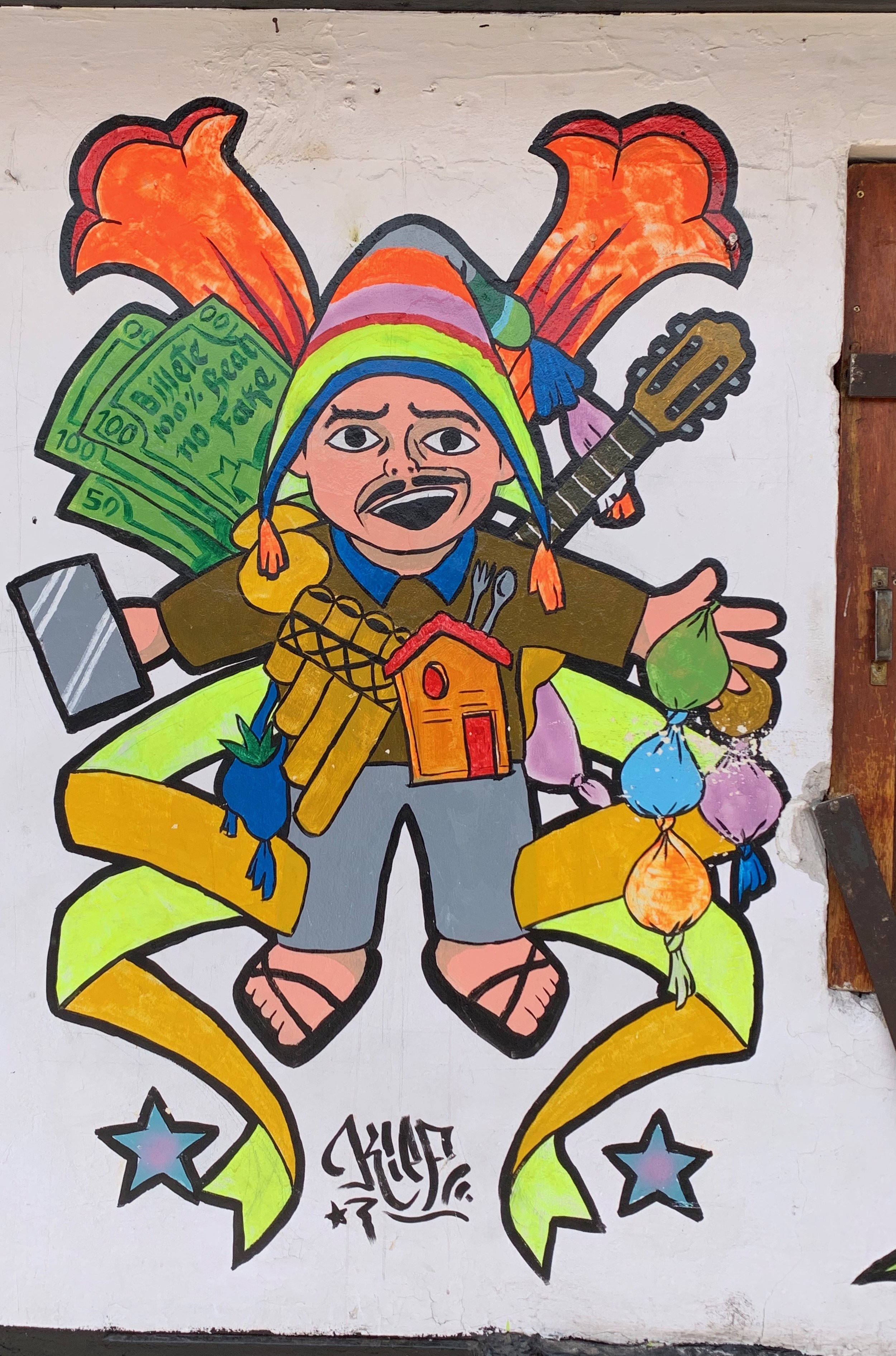
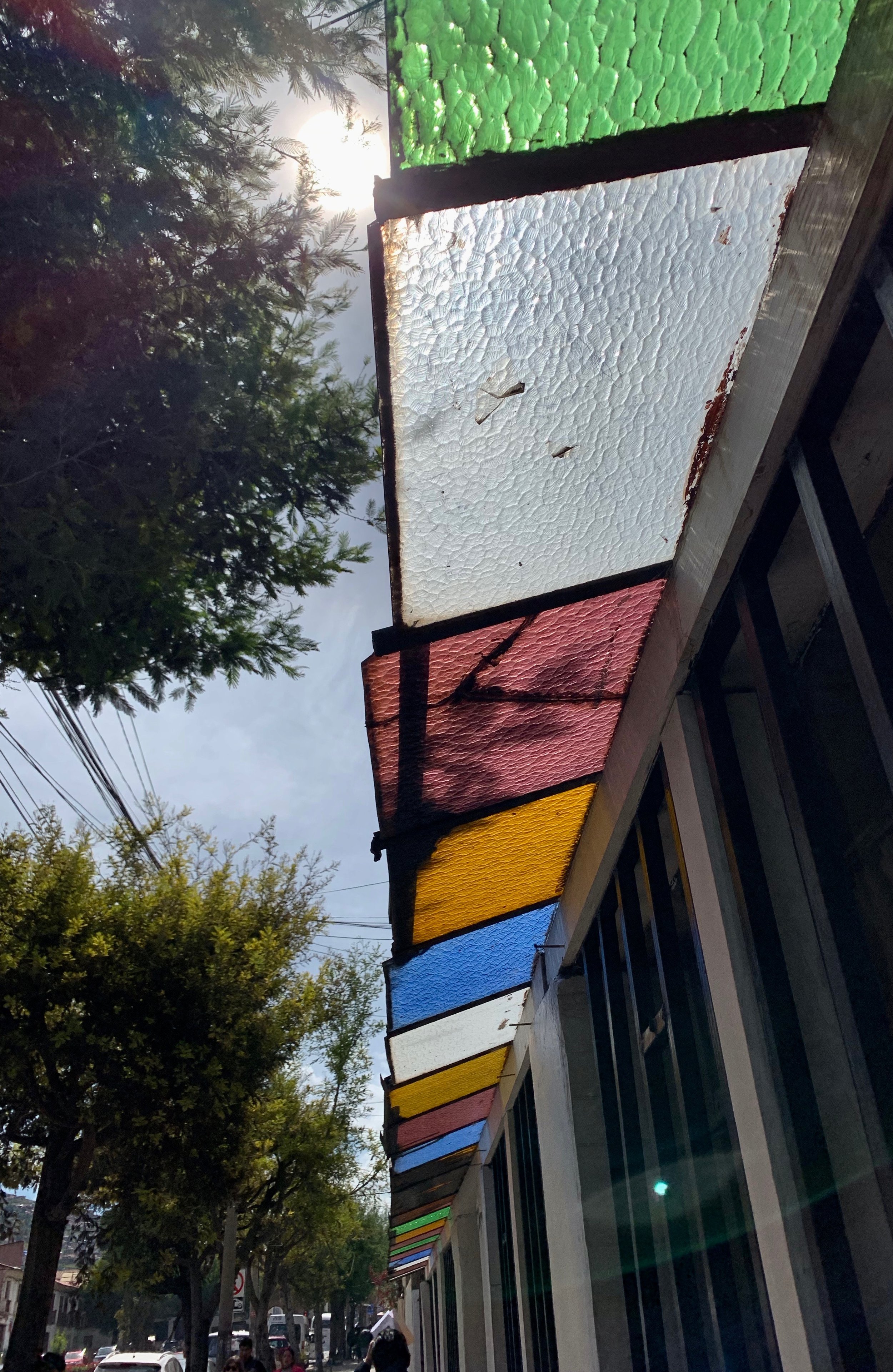
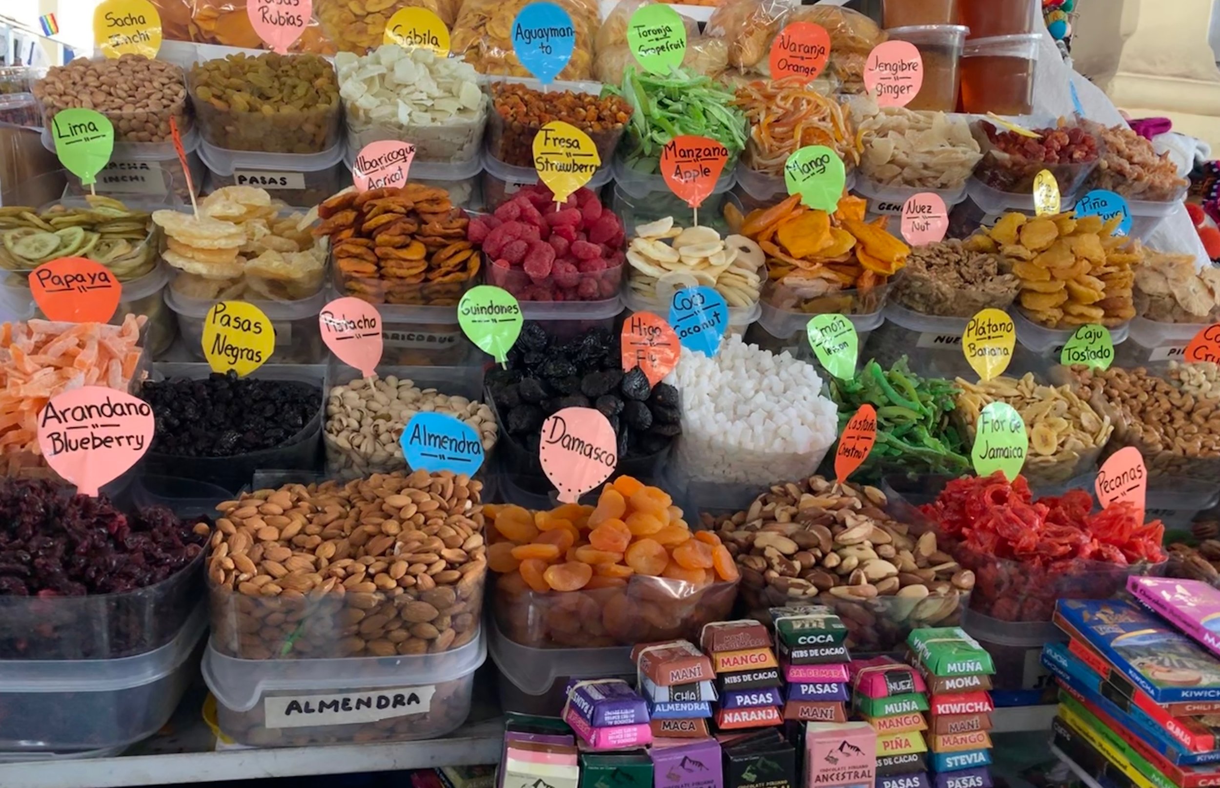
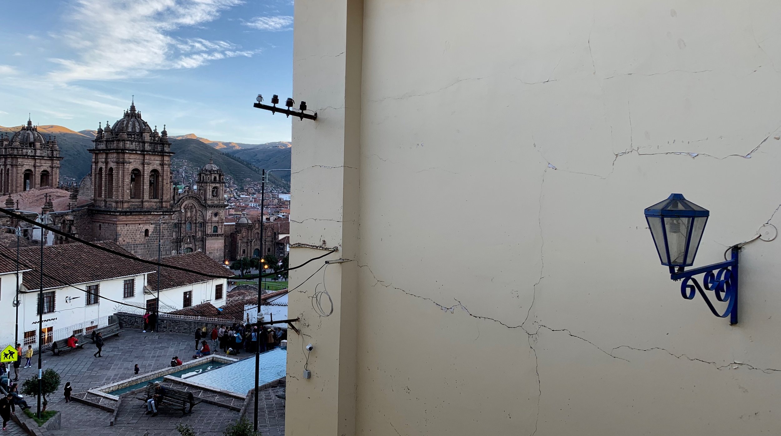
Bumming Around Cusco
An Exercise In Acclimatizing
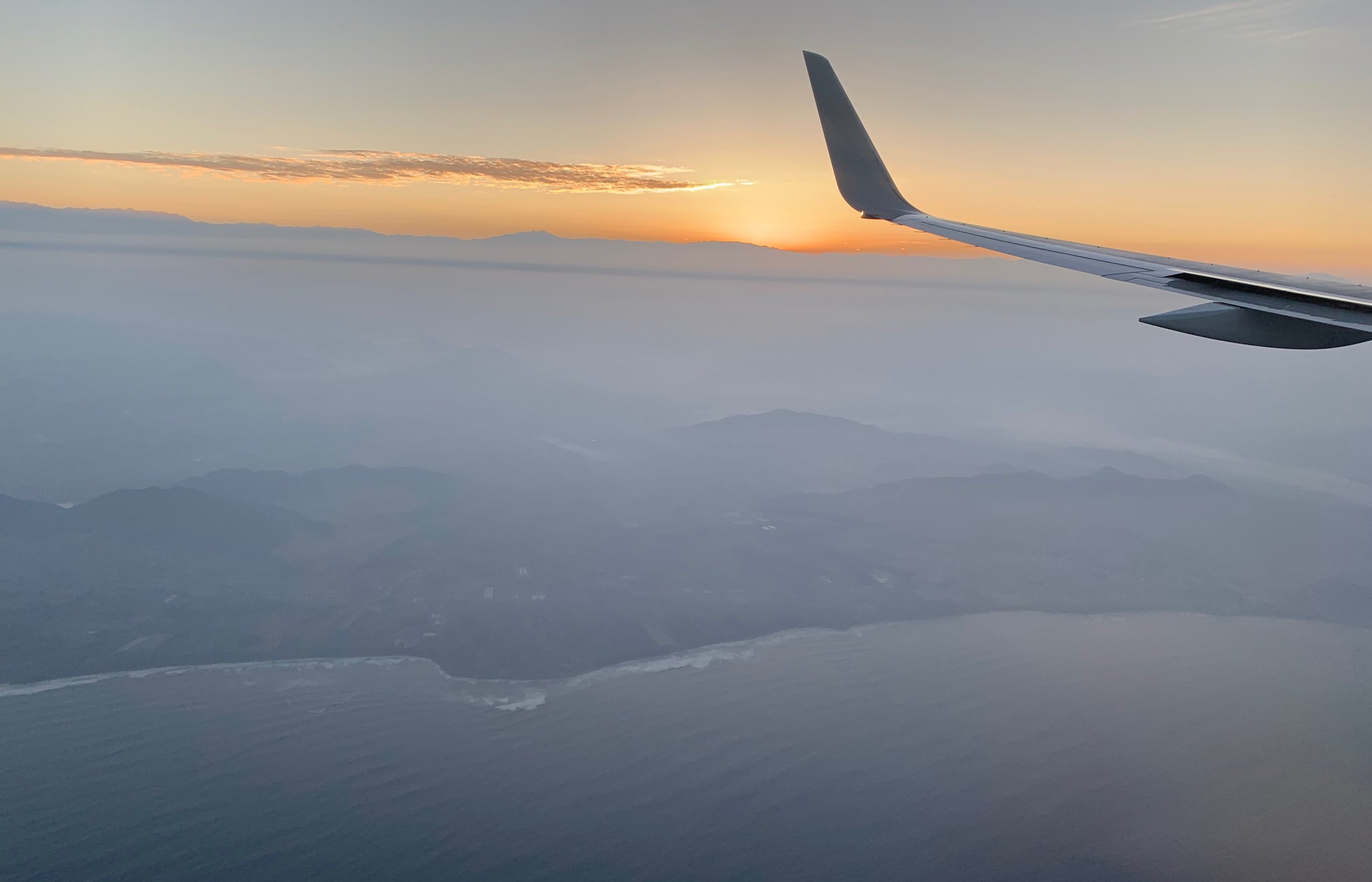
From the moment Zac (you may remember him from this post) and I left the ground in Austin, the views were unbelievable. We had sunset on a plane from Austin to wake up at sunrise on our second plane into Lima. From there, we hopped our third leg plane and were swept up and over the beginning of the Andes toward the first stop on our trip - Cusco.


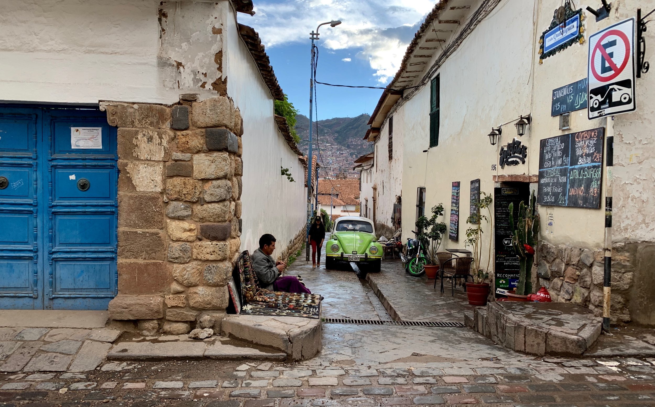
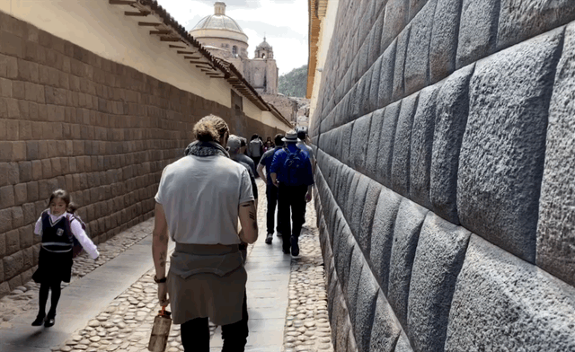
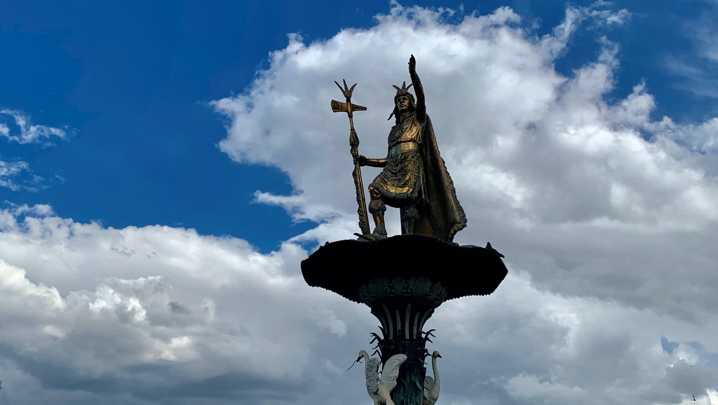
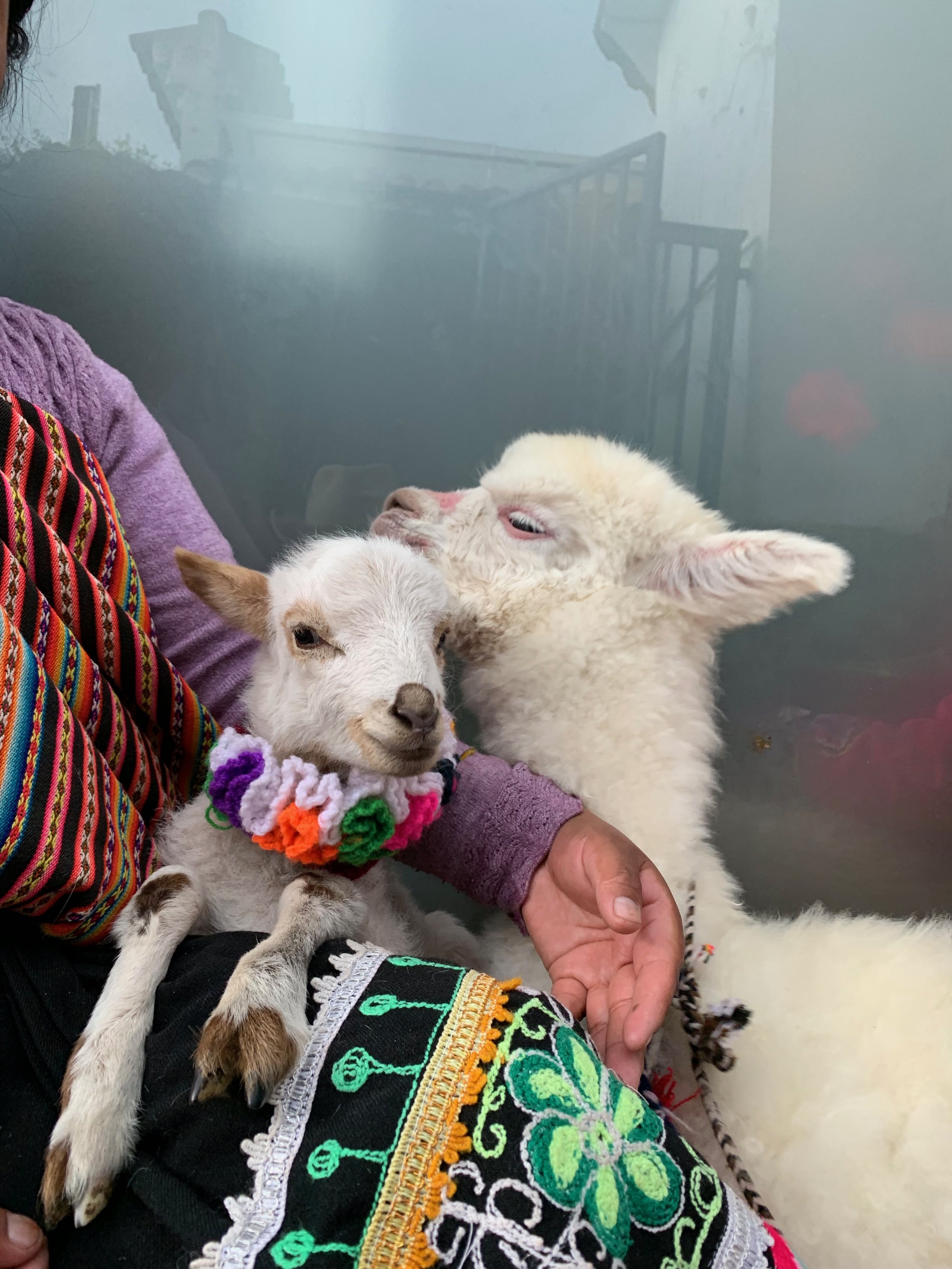
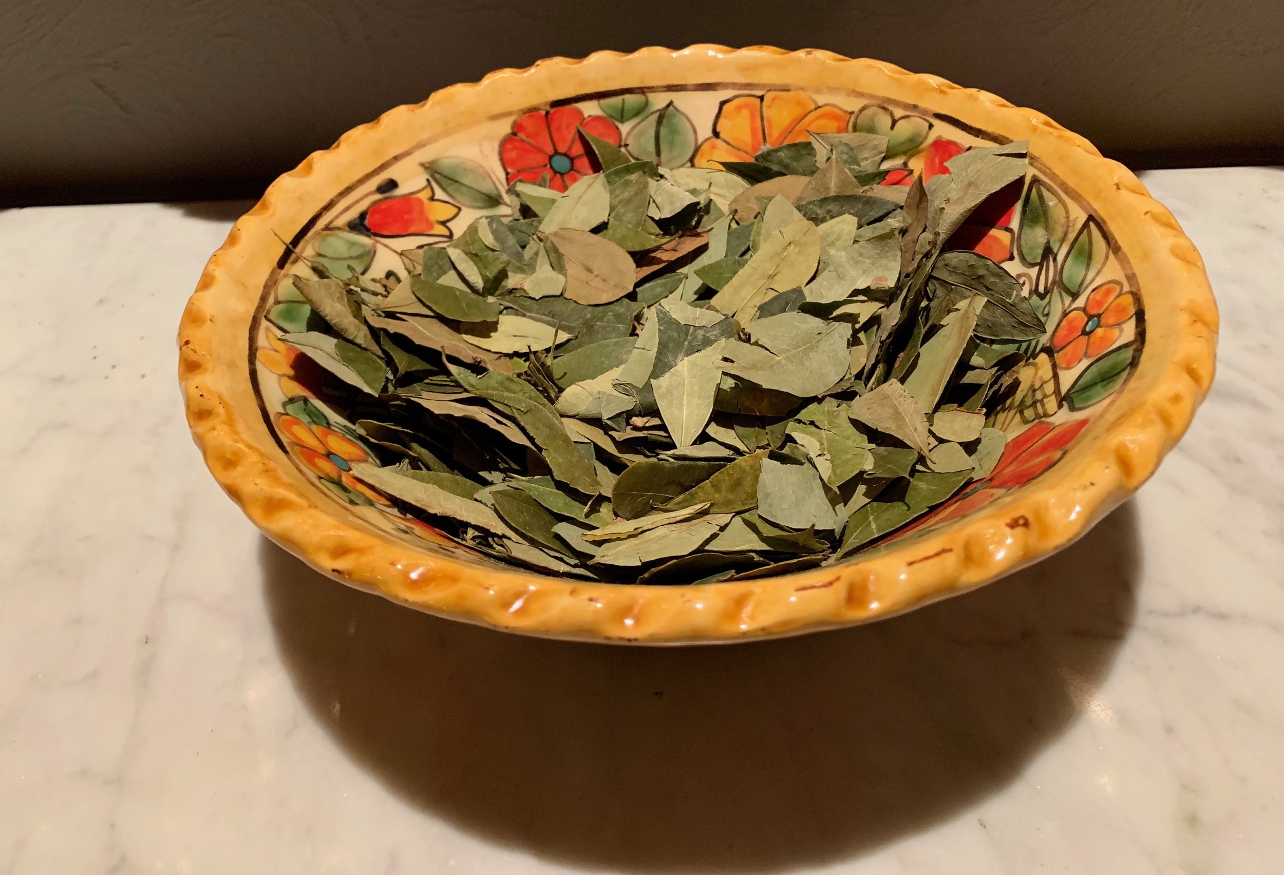
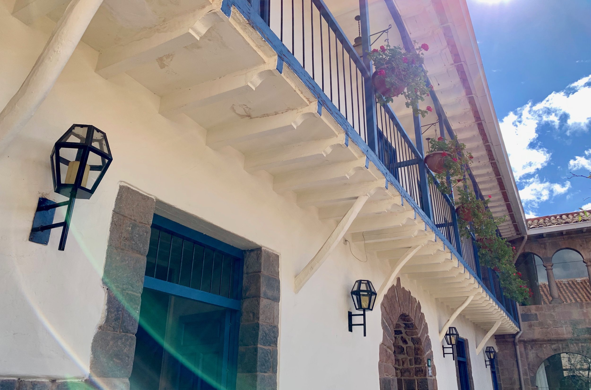
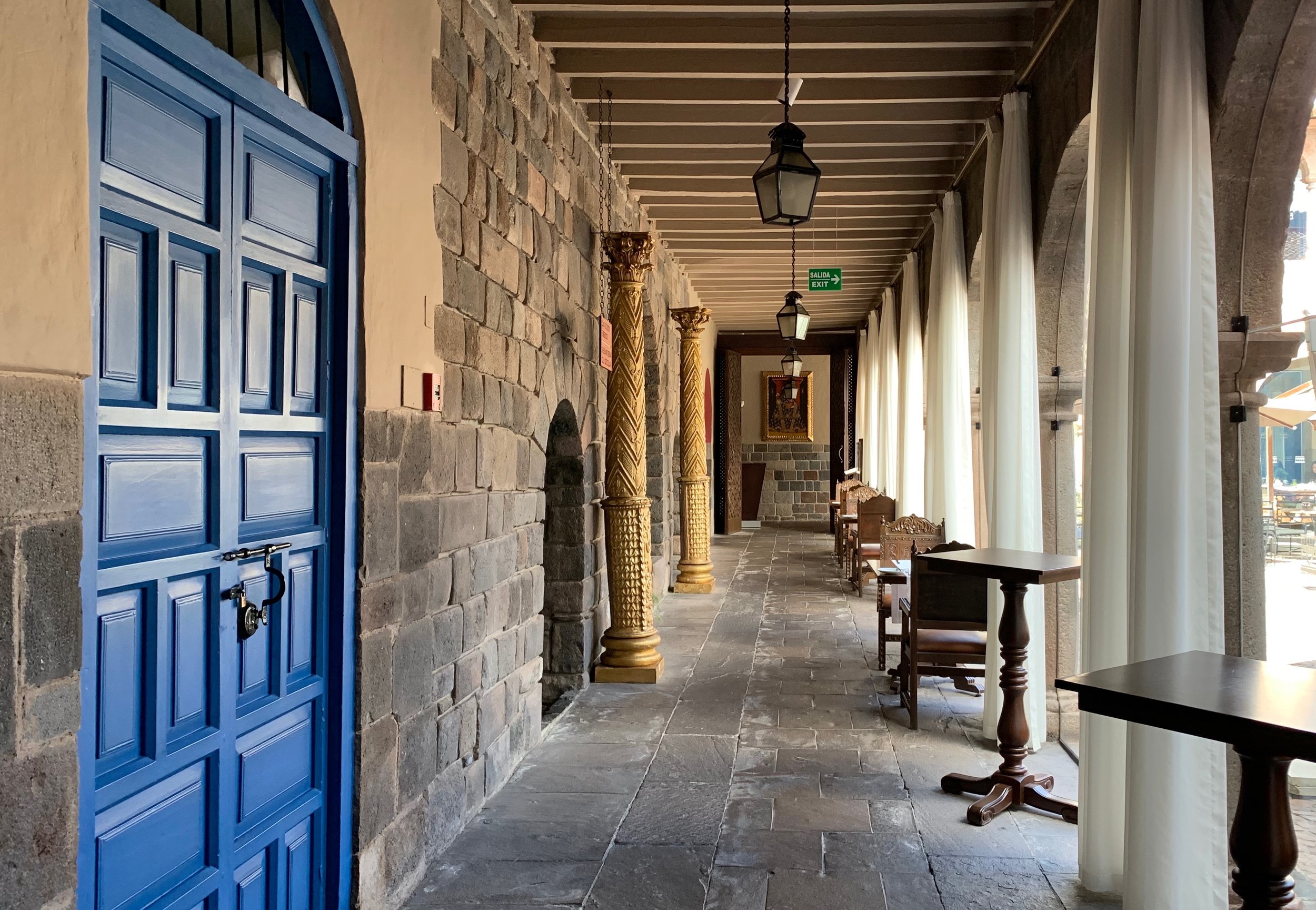
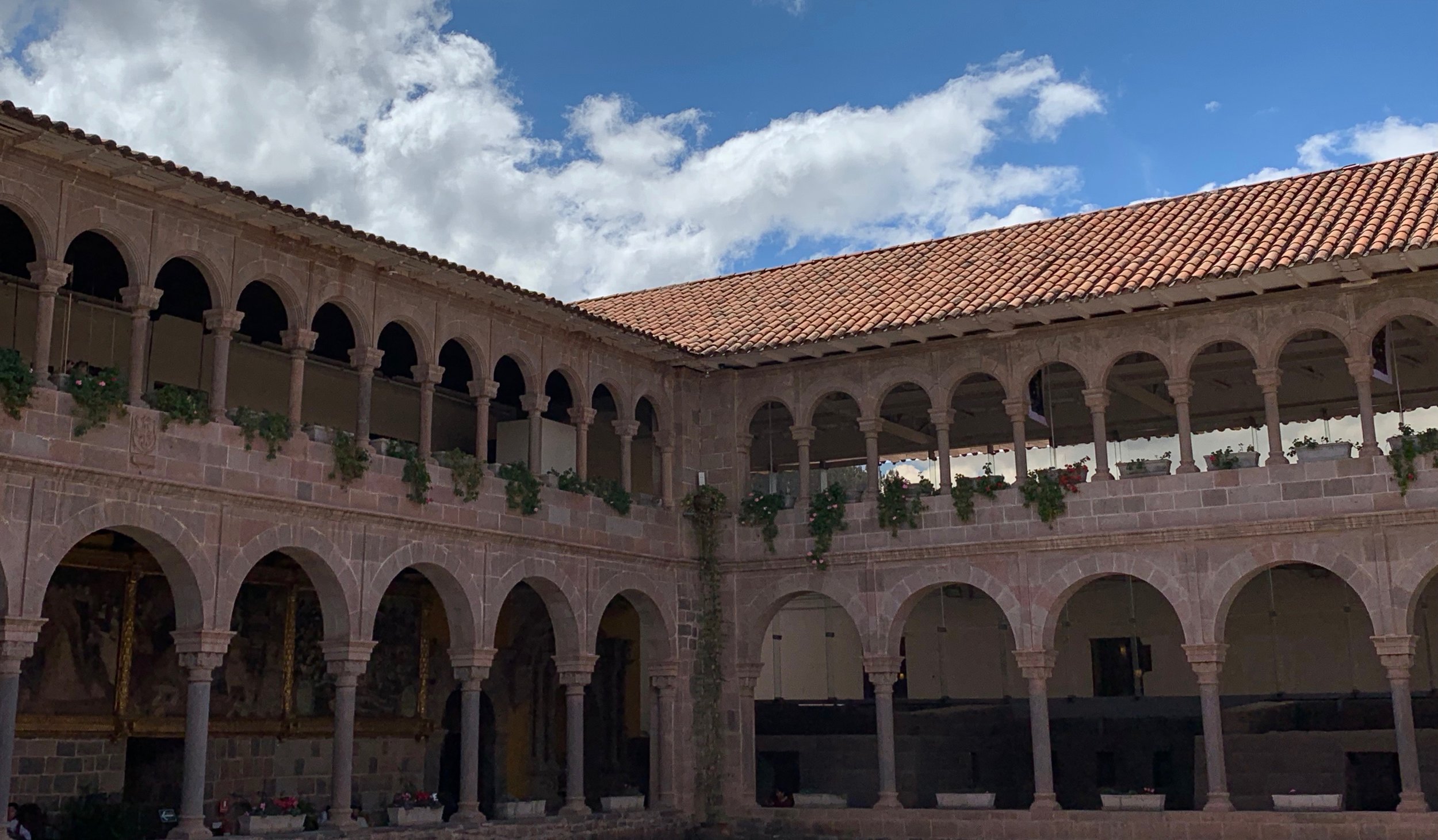
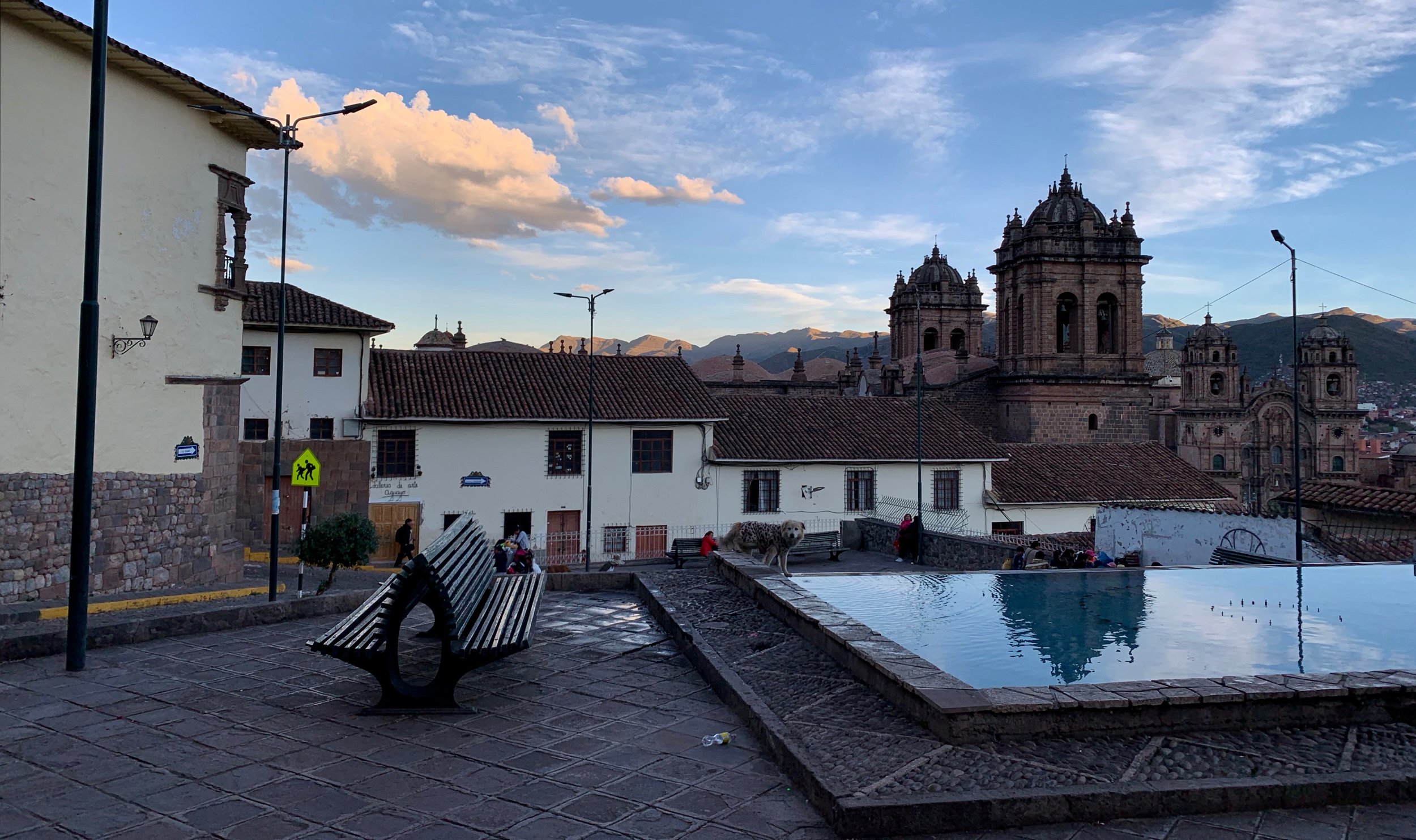
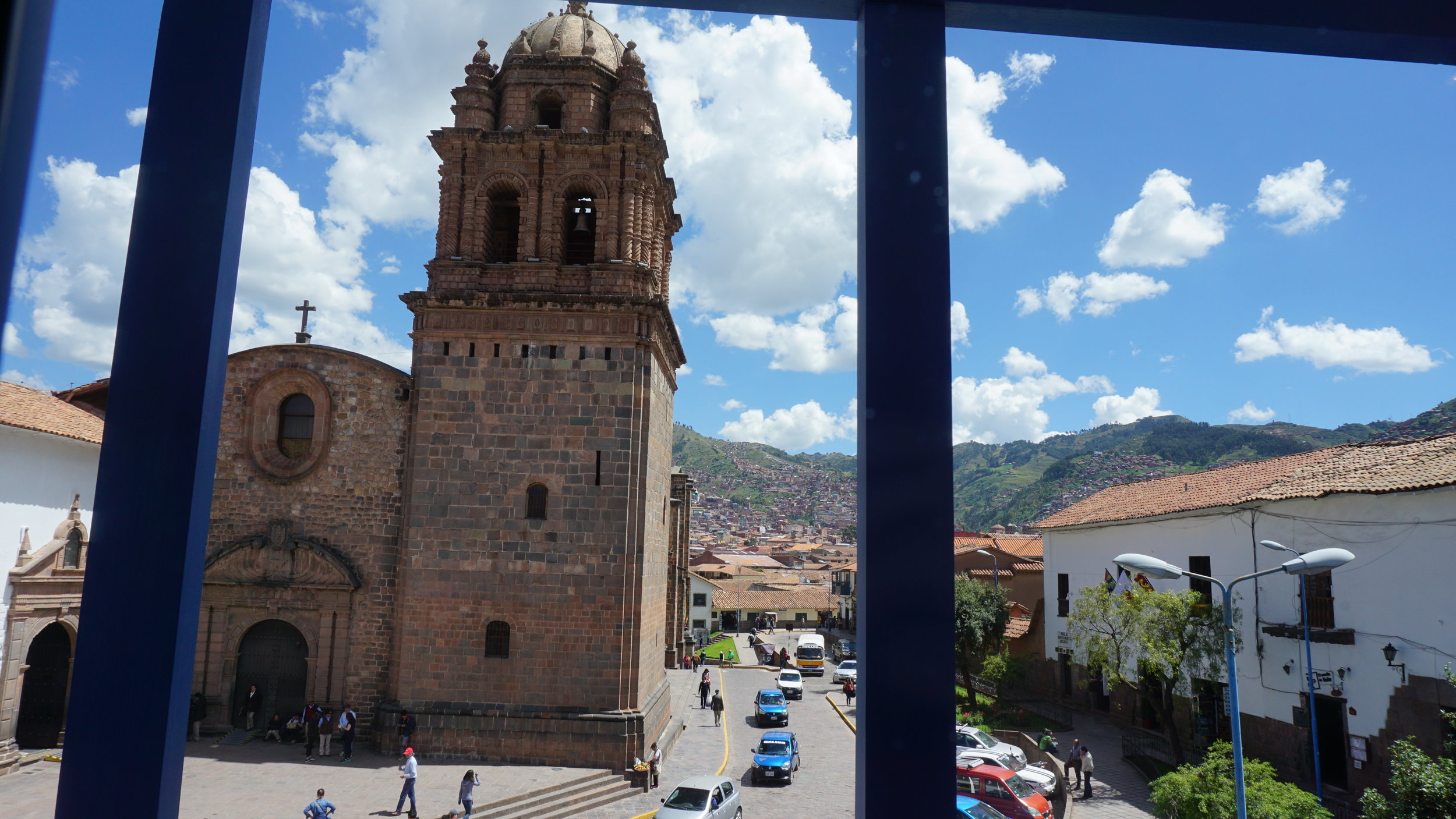
Cusco is an incredible town. It's way the hell up there, sitting at 3,400m/11,200ft. As it was the historic capital of the Inca Empire from the 13th until the 16th-century Spanish conquest, the Constitution of Peru designates it as the Historical Capital of Peru and in 1983 the city was declared a World Heritage Site by UNESCO. Visiting this place alone would have been worth the journey. We needed a couple of days at altitude to acclimatize our lungs for the hike ahead. Cusco has more cuisine, architecture, and history than you can experience in months so our short time there was busy exploring.

We were lucky enough to catch the beginning of the Holy Week celebrations in Cusco, preparing for the Procession Of The Lord Of Tremors (aka The Black Christ).
Pre-Hike Photos
Use the controls to change photos. Hover over the photo for details.
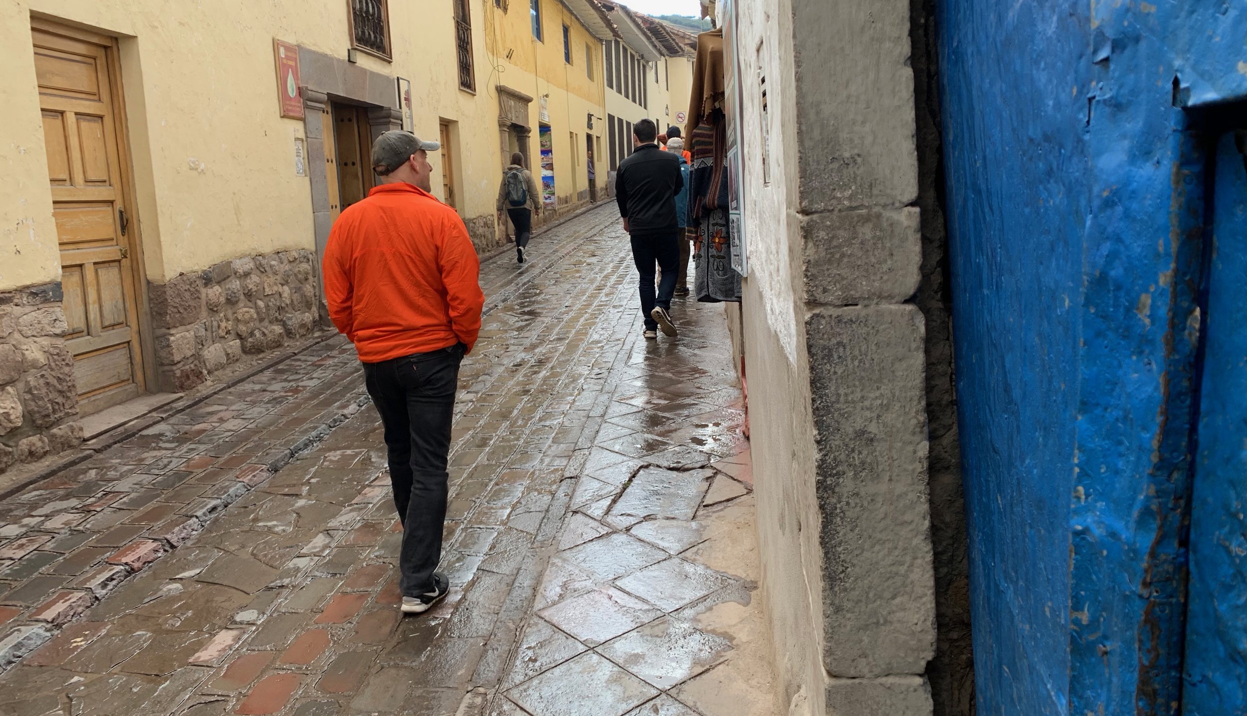
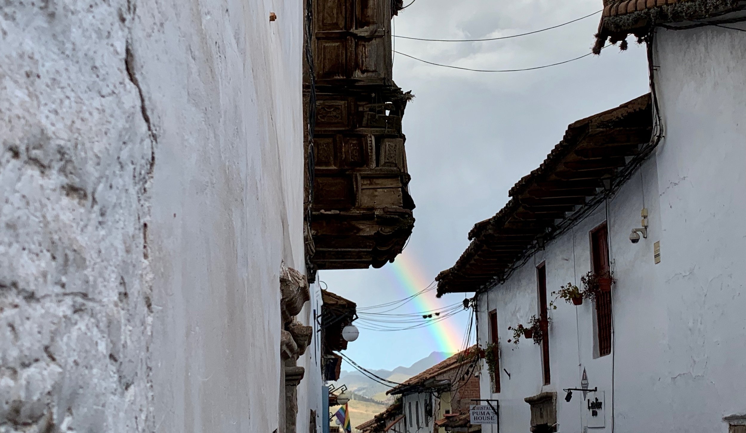
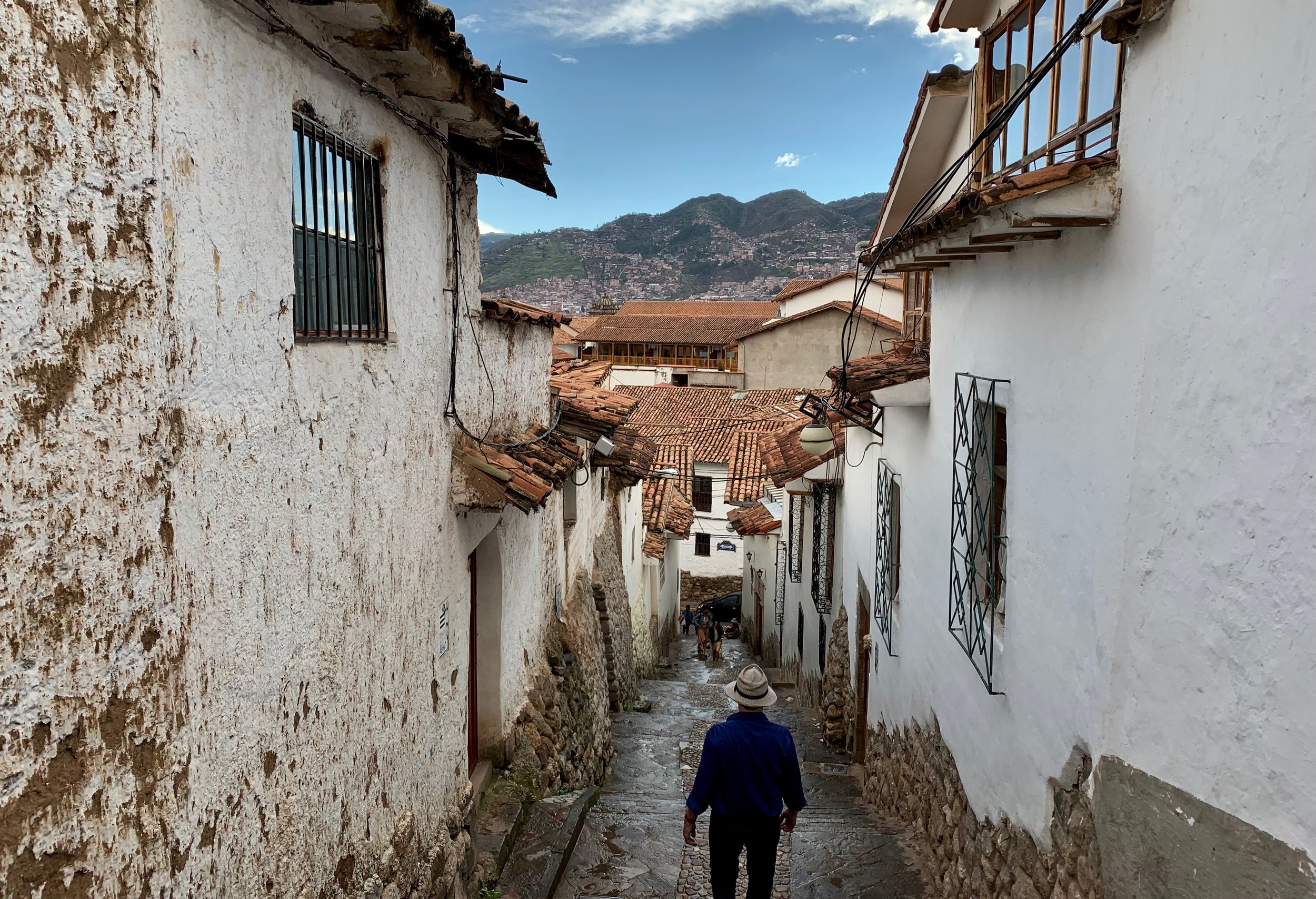
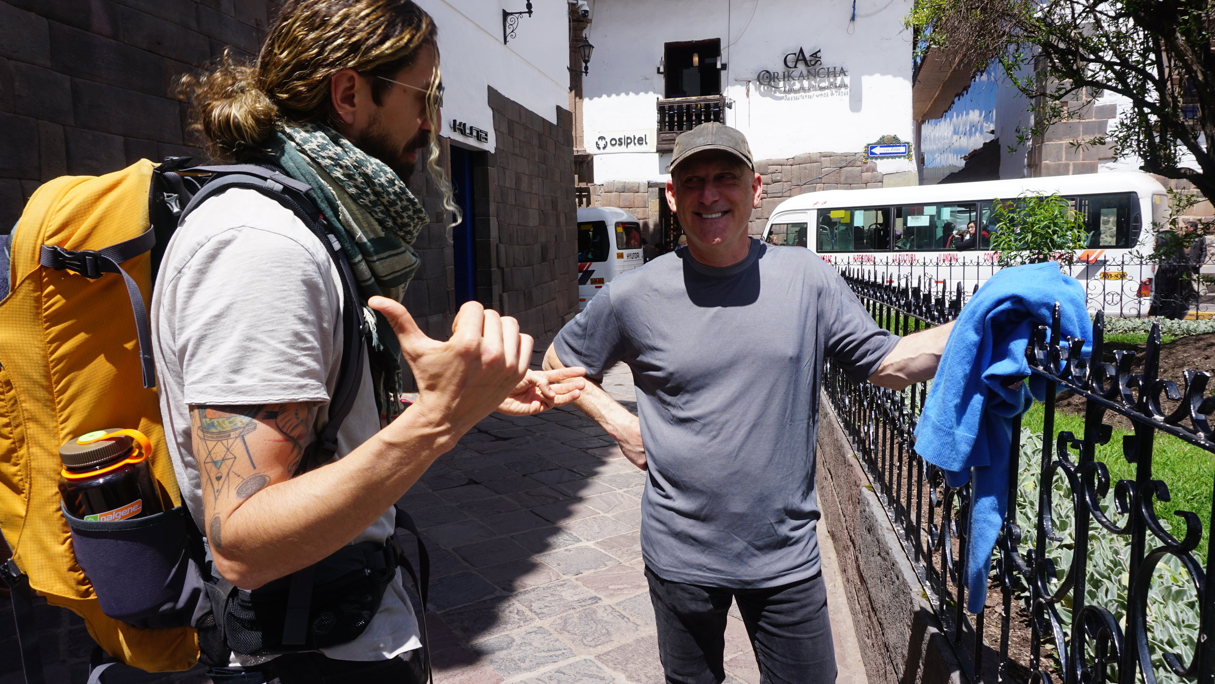
As our all-too-quick stay in Cusco drew to a close, we packed our bags and prepared for our journey onward. We would soon walk deeper into the Andes among the ruins of a civilization toppled by the Spanish, yet persistent and strong in the culture, language, and food of the people who would take us there.

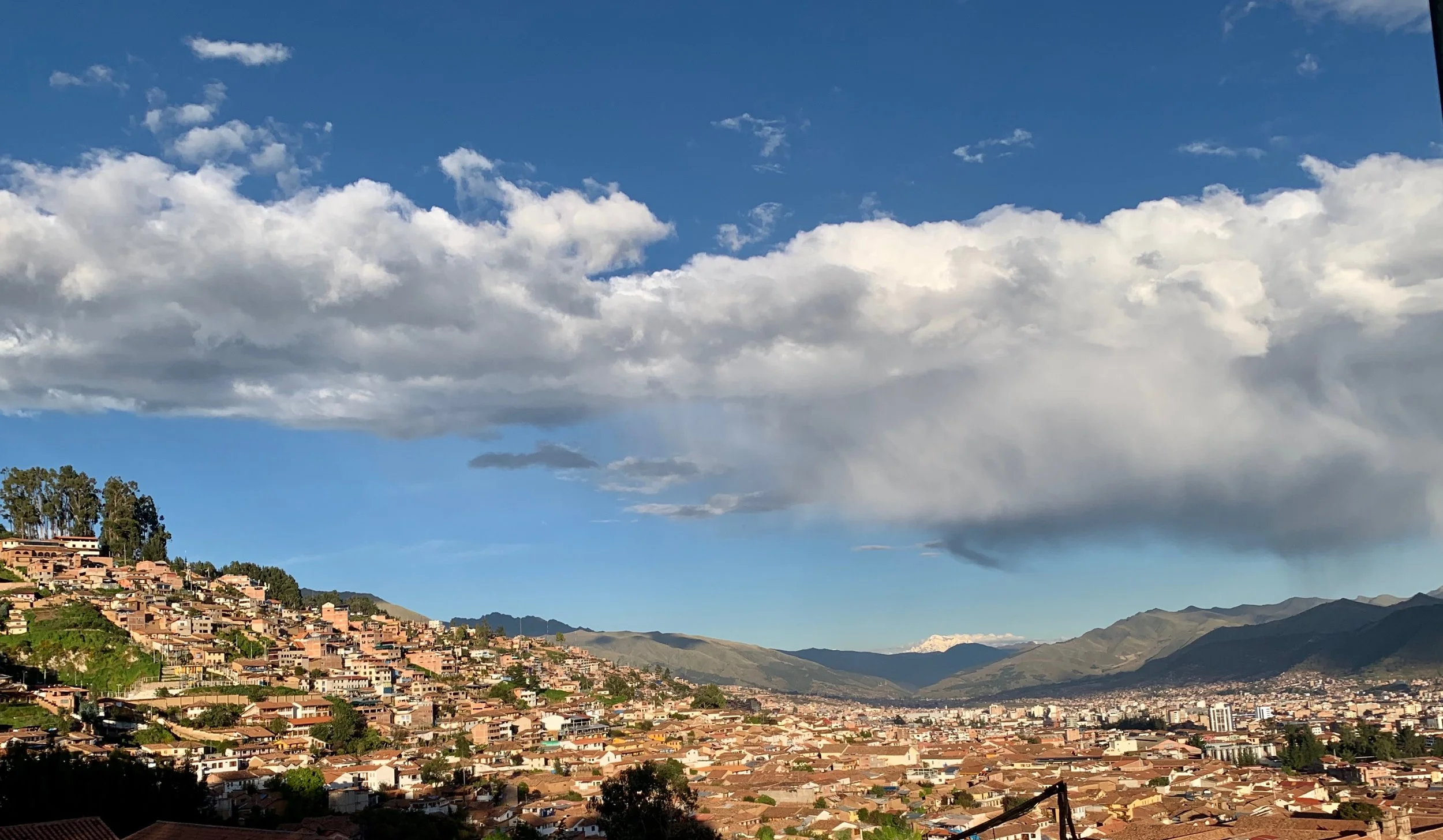
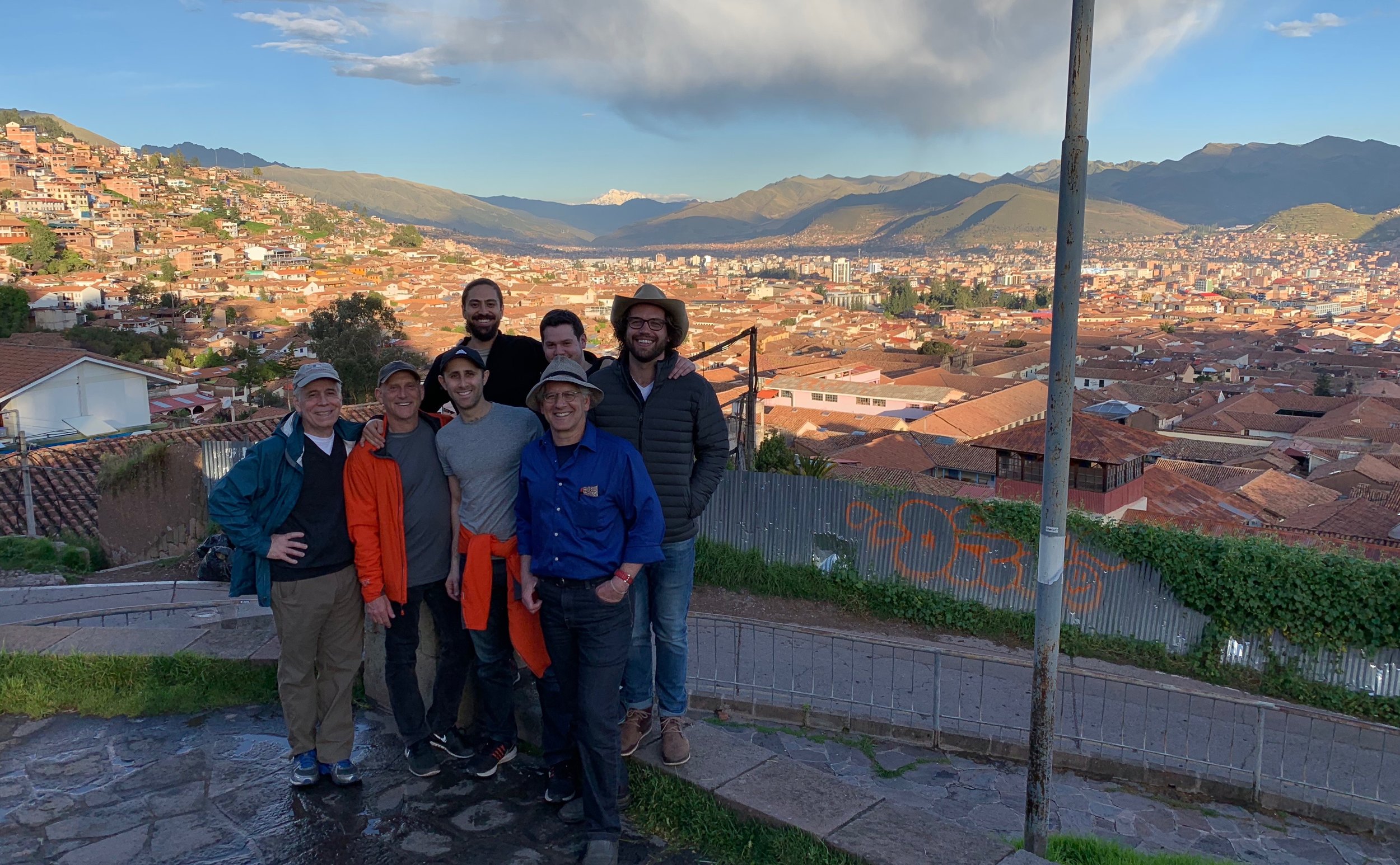
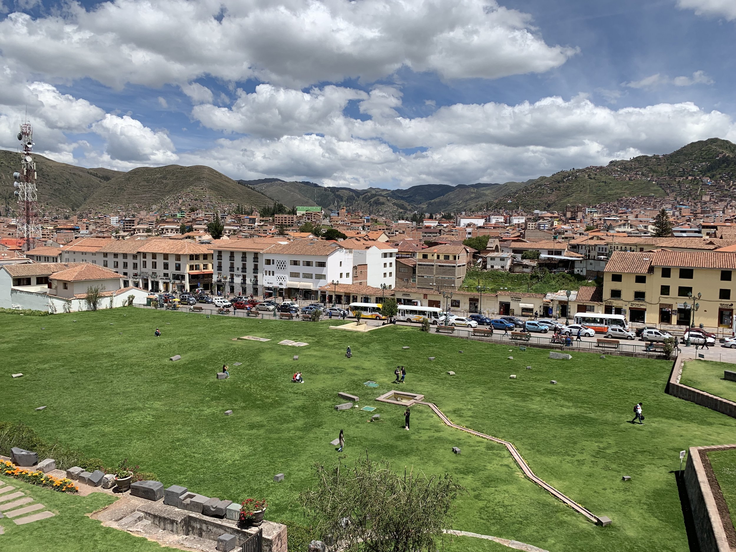
The view of Cusco from the ruins of Sacsayhuaman above the city.
From Kilometer 82 Onward
The Beginning Of Our Hike On The Inca Trail
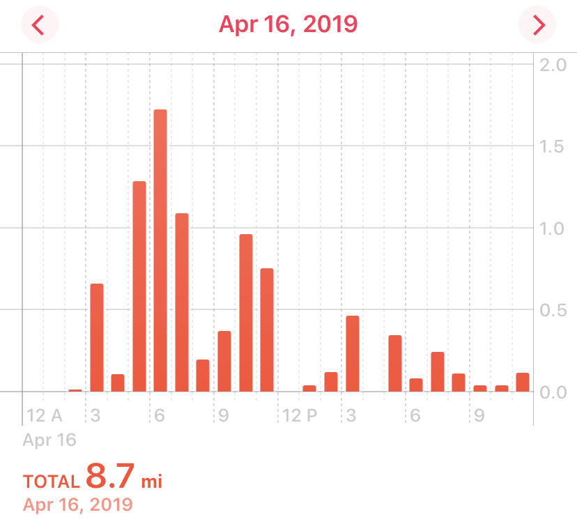
Walking Distance: 14 km - 8.7 miles
Camp Site Elevation: 3,300 meters - 10,827 feet
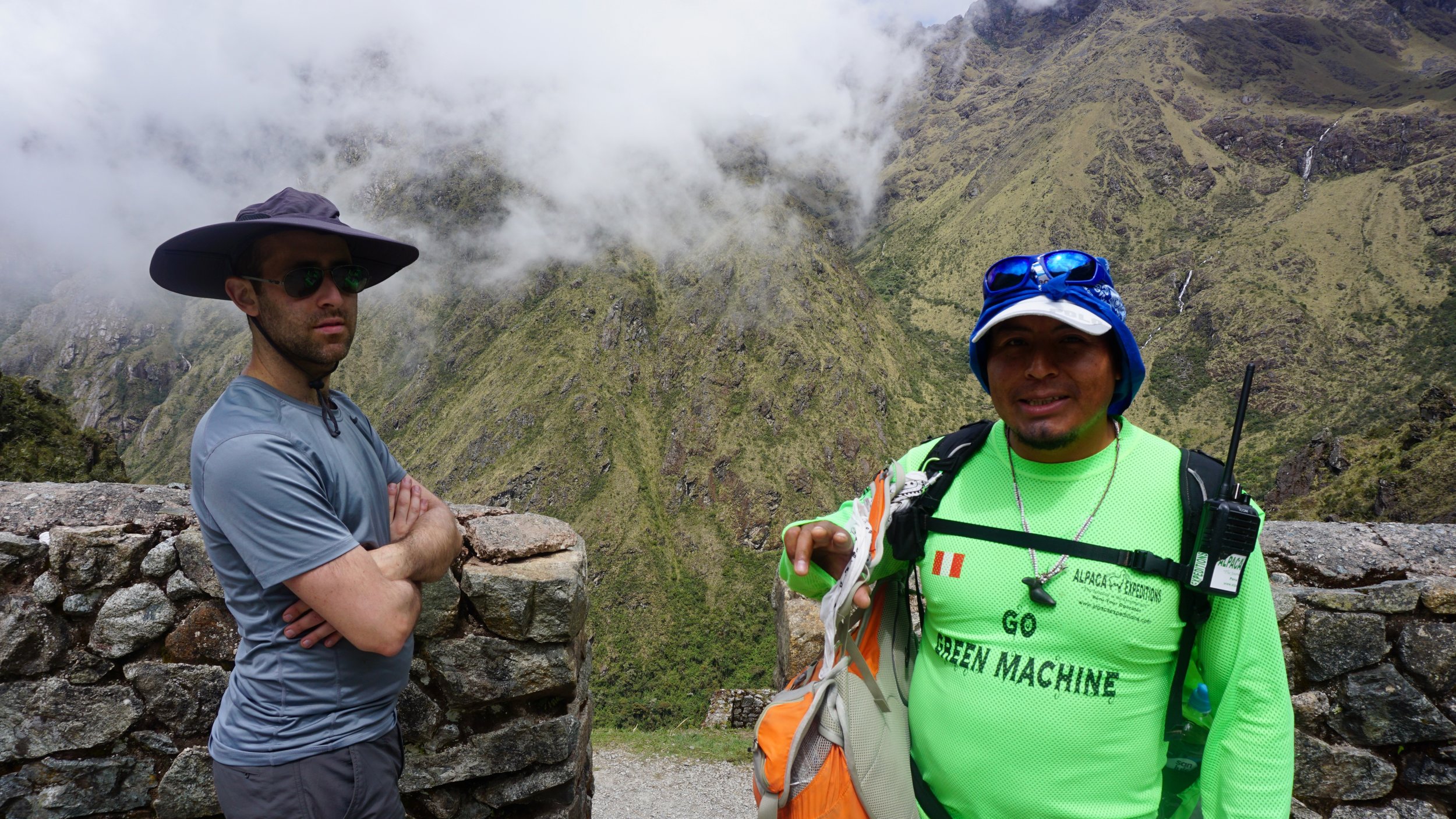
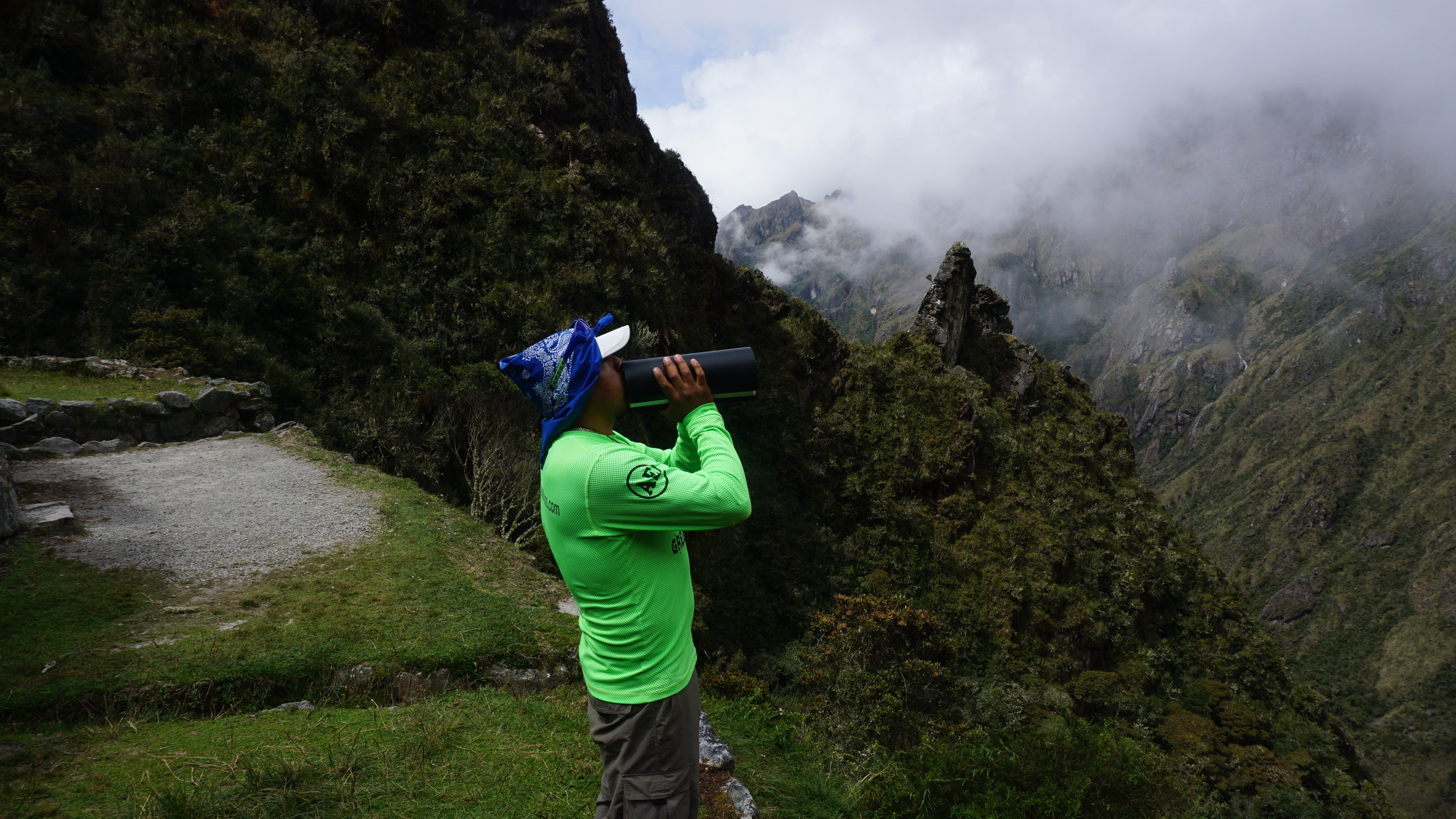
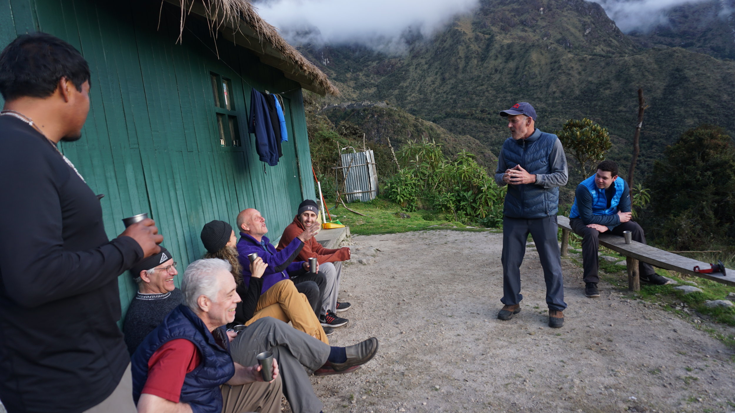
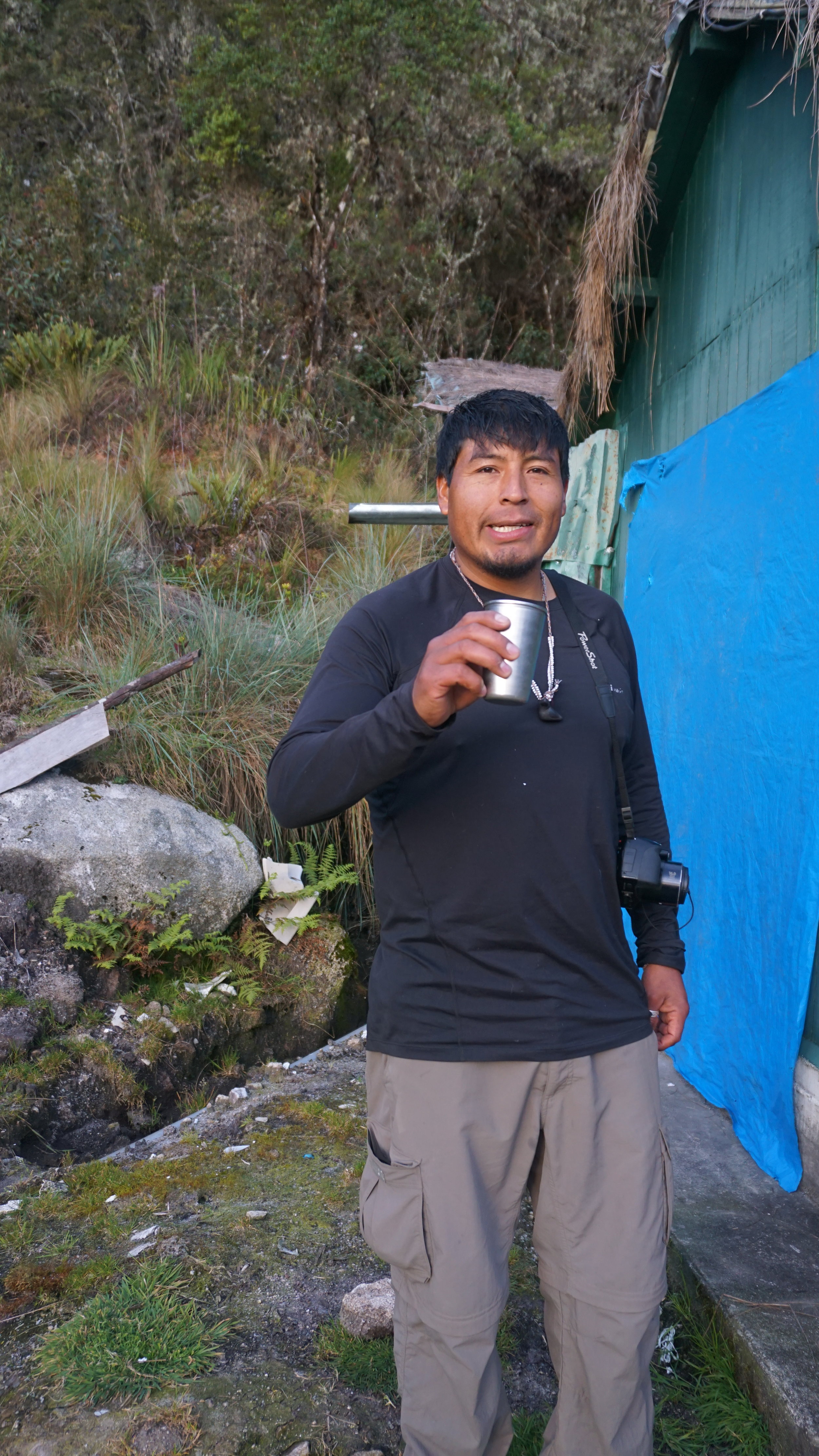
Our guide and friend, Reynaldo
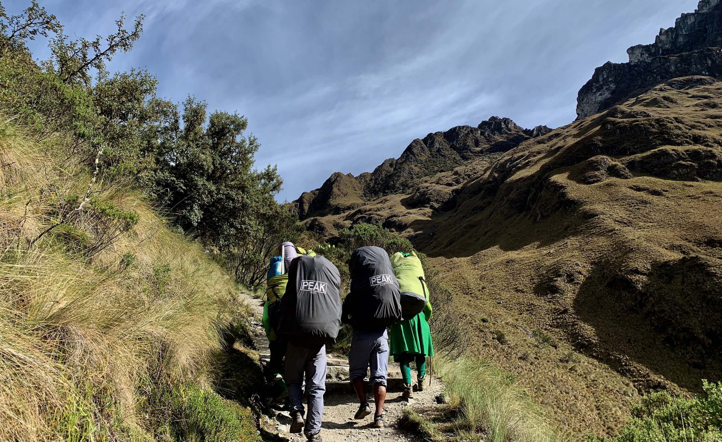
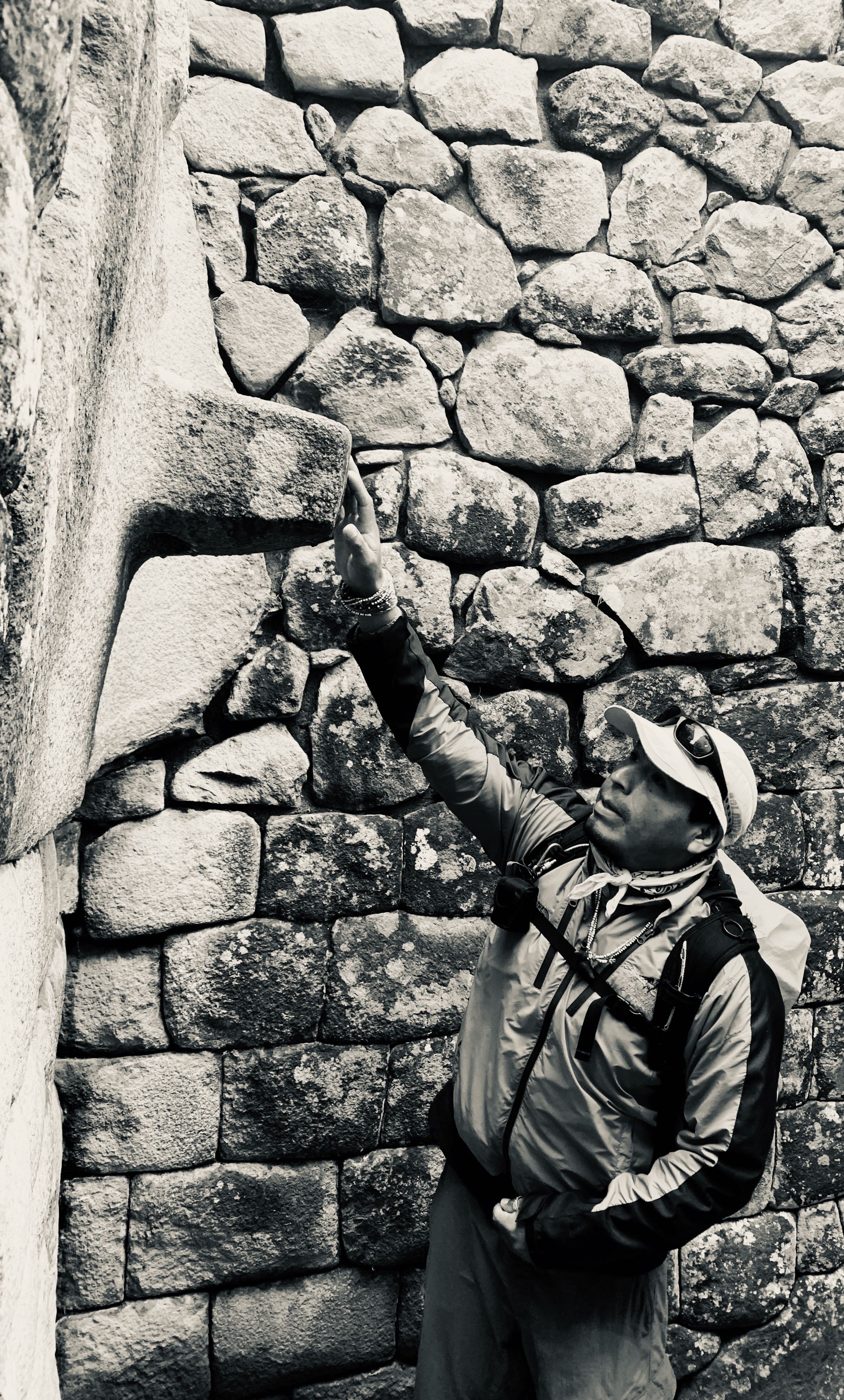
Peruvian law requires groups to hire outfitters with porters to complete the Classic Inca Trail. We went with Alpaca Expeditions, who were excellent at every single turn. Our guide and new friend, Reynaldo, is an impressive man who speaks Quechua, Spanish, and English and has a deep understanding of the archaeology, history, and culture of this land. His pride for his people and homeland is infectious.
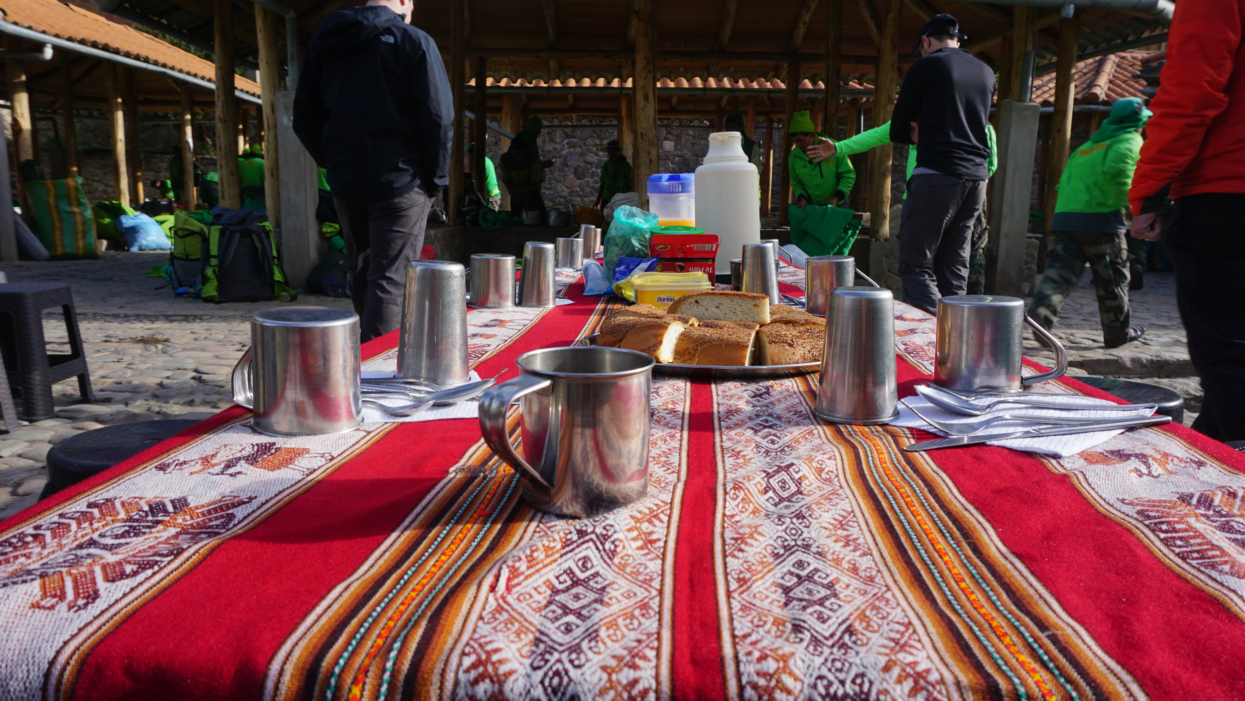
He began his work as we drove to the trail head at KM 82, the scenery a mere taste of what was to come. When we arrived at the trailhead, our chef prepared breakfast and we sorted out our tickets and passports to enter the national park.
Seriously, if you’re looking for a great outfitter for The Inca Trail who take their work seriously, provide real value, and treat their staff from top to bottom with dignity and respect - Alpaca Expeditions is the way to go. They invest in the lives, education, and families of their porters. They are invested in social programs to empower women and children in indigenous Andean communities. And they’re very good at what they do. It’s not even a question - they’re a solid company and worth your consideration.

Breakfast at the trailhead.
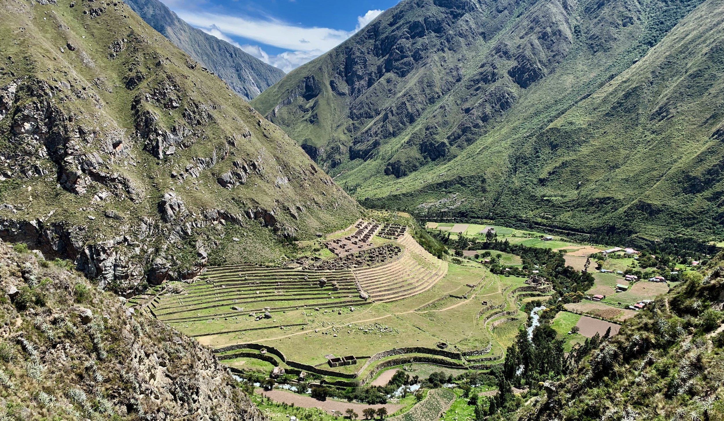
For about two and a half hours into the hike, the terrain was flat-ish until we arrived at the Inca site of Llactapata. This is where Reynaldo began the first of many excellent history lessons - teaching us about the Peru and the Inca of past and present. Shortly after, we took lunch and realized the feasts we were in for each meal. It's not an exaggeration to say we were spoiled and fed like kings.
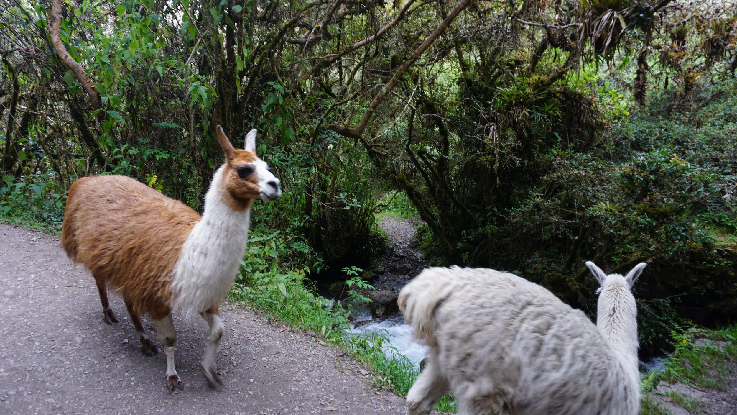
Reynaldo pointed out loads of great finds on the trial - from wild tobacco to cochineal bugs used for making dye. I couldn’t resist squishing a few and smearing them on my face because raw it looks a lot like blood. I didn’t smoke any wild tobacco. Didn’t want to repeat that wild experience on this particular hike.


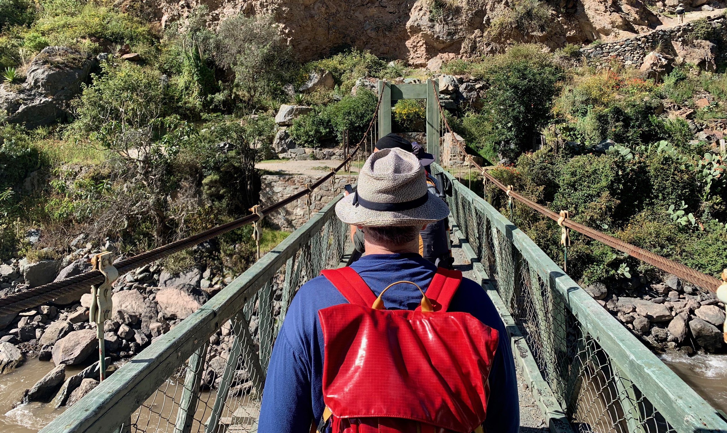
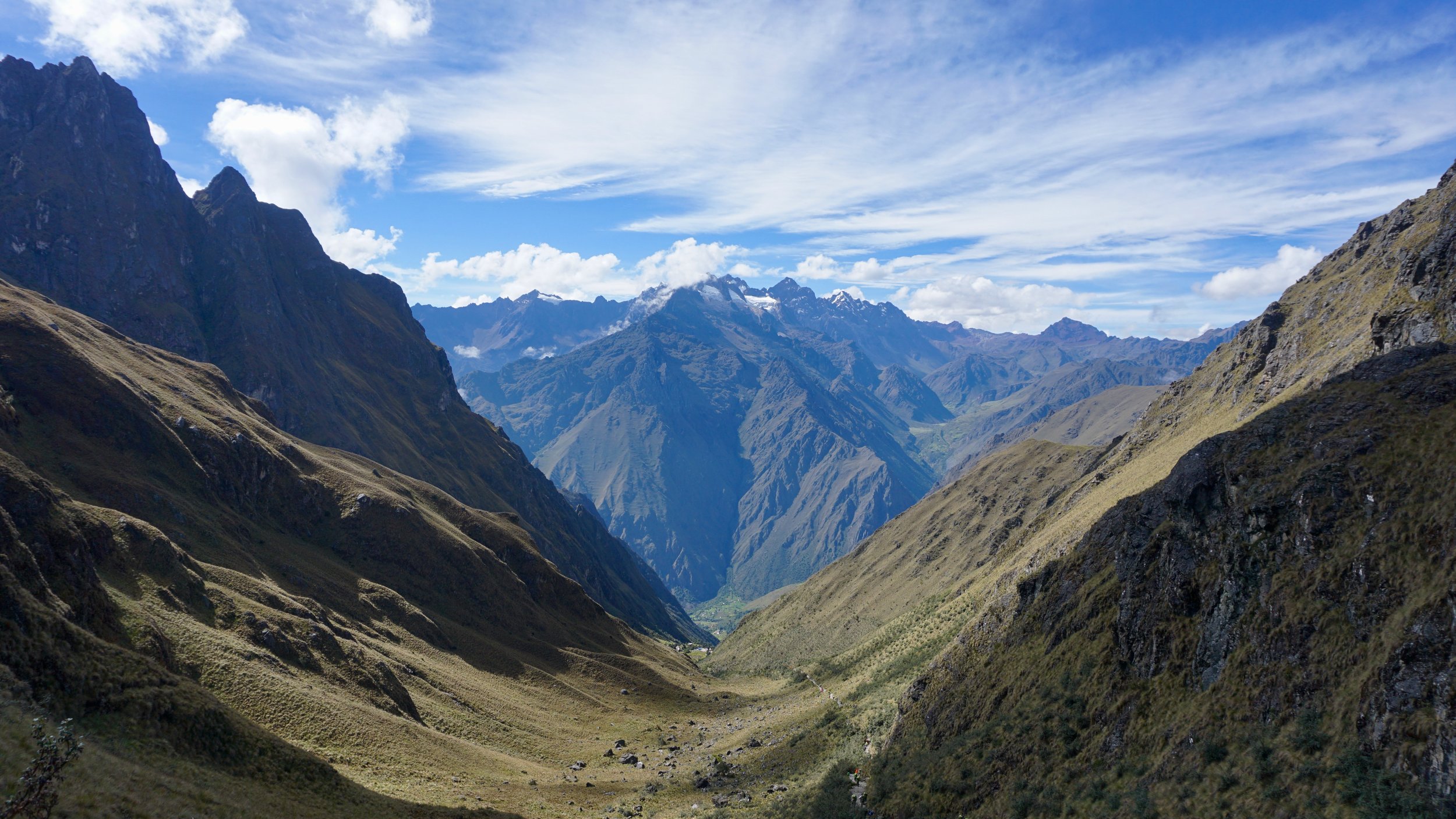
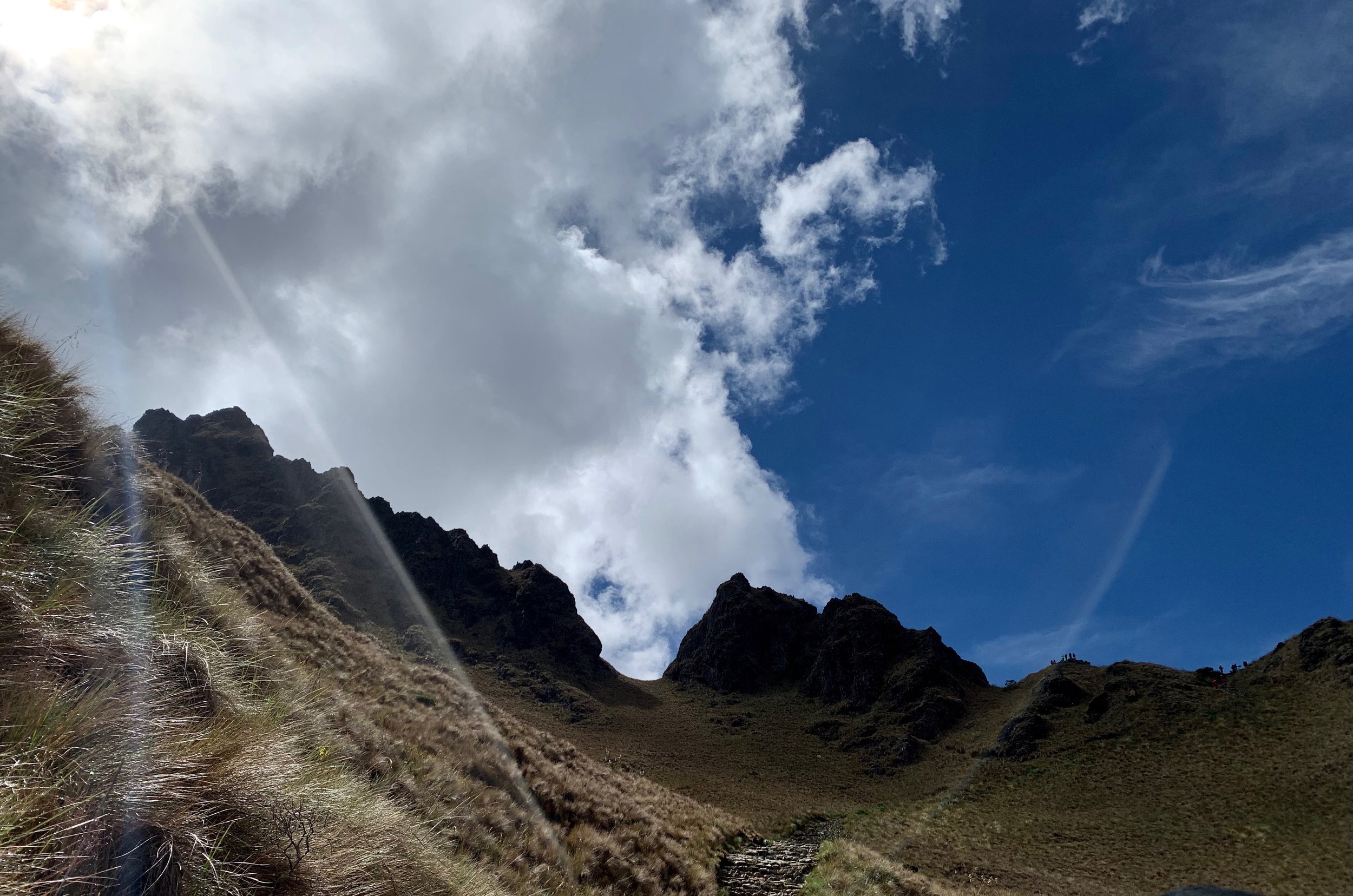
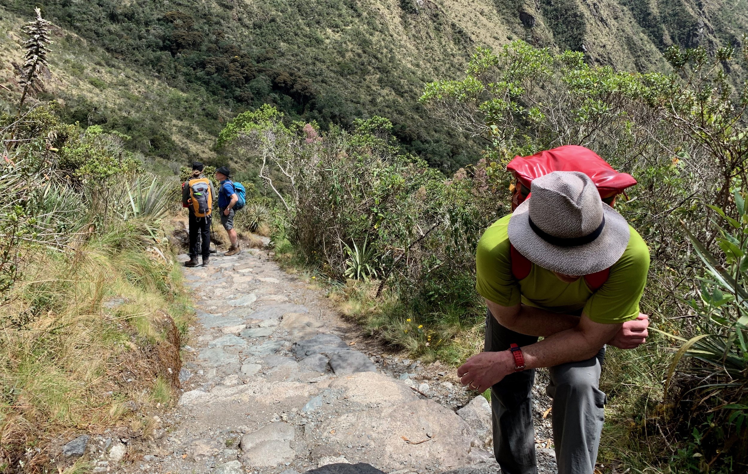
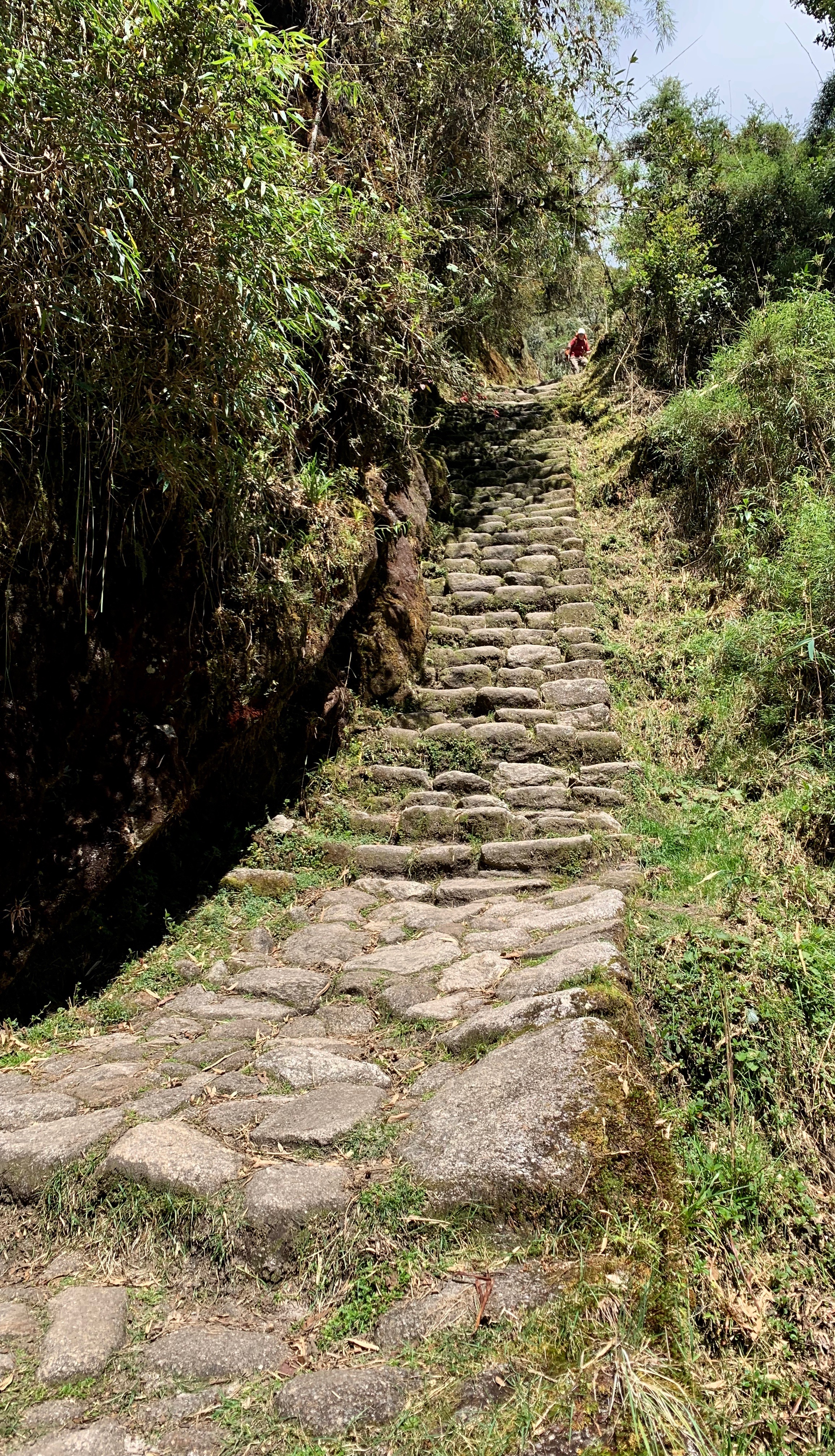
While the distances we hiked were not all that remarkable, what makes The Inca Trail so challenging are the factors of altitude and the utter lack of switchbacks. It’s ancient stone steps straight up and straight down. Even with relatively easy terrain, this trail typology made our first day challenging. As we continued on our journey, all adjusting to exerting at high altitude, we finally reached our camp at Ayapata where we ate, knowing the next day’s hike would be our biggest challenge - climbing up from the Pacific side of the country, over Dead Woman’s Pass and down into the Amazon basin.
Before we retired for the night, we had a ceremonious introduction between our group and the porters we hired to run the show. These people are unbelievable - many from the small city of Lares - they carried our gear, set up and tore down camp, cooked, cleaned, and even took care of bathroom facilities. None complained. None had a negative thing to say. All were friendly and kind and helpful at every turn of our journey. My new life goal is to be 1/10th as badass as they are.
It was easier to sleep knowing that they’d be there to get us over the summits the next day.

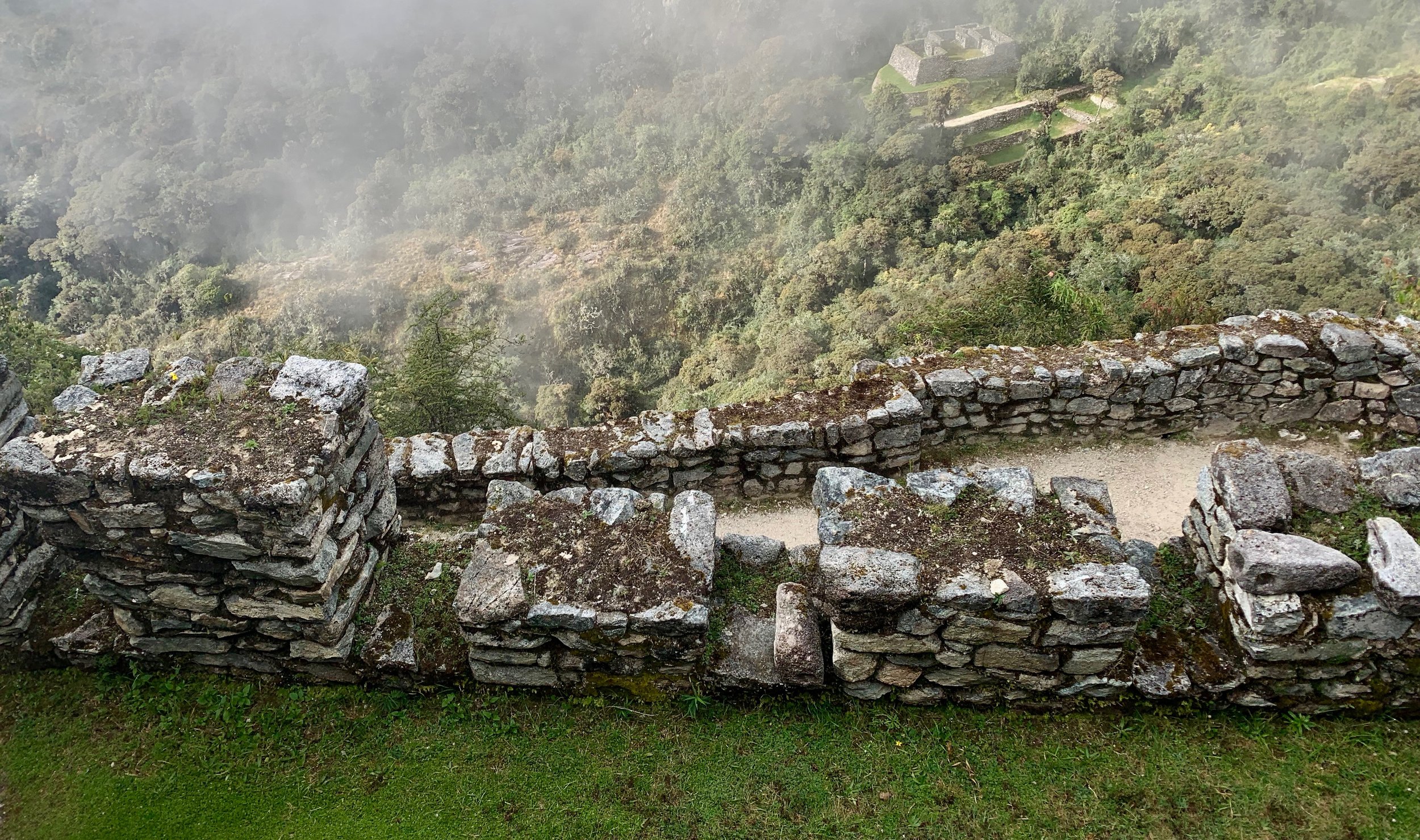
The view of Llactapata from across the river. When the Inca knew the Spanish were to take power of their lands, they blockaded this place by creating landslides to prevent access by trail.
Day 1 Photos
Use the controls to change photos. Hover over the photo for details.


The Eternal Ascension
Spend Your Whole Day Above 12,000ft
Walking Distance: 16 km - 10 miles
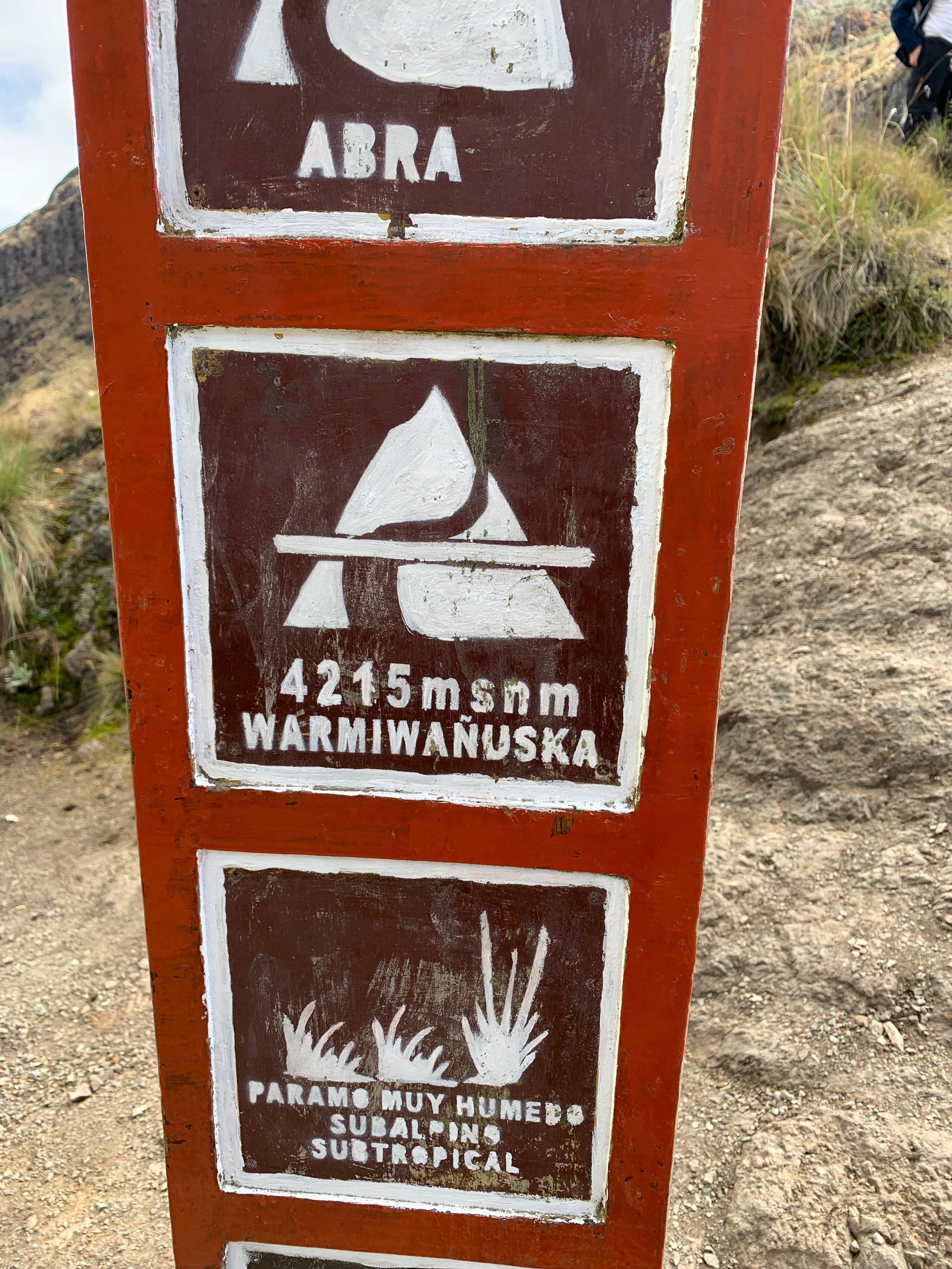
Dead Woman Pass Elevation: 4,215 meters - 13,828 feet
Runcurucay Pass Elevation: 4,000 meters - 13,123 feet
Campsite Elevation: 3,600 meters - 11,811 feet
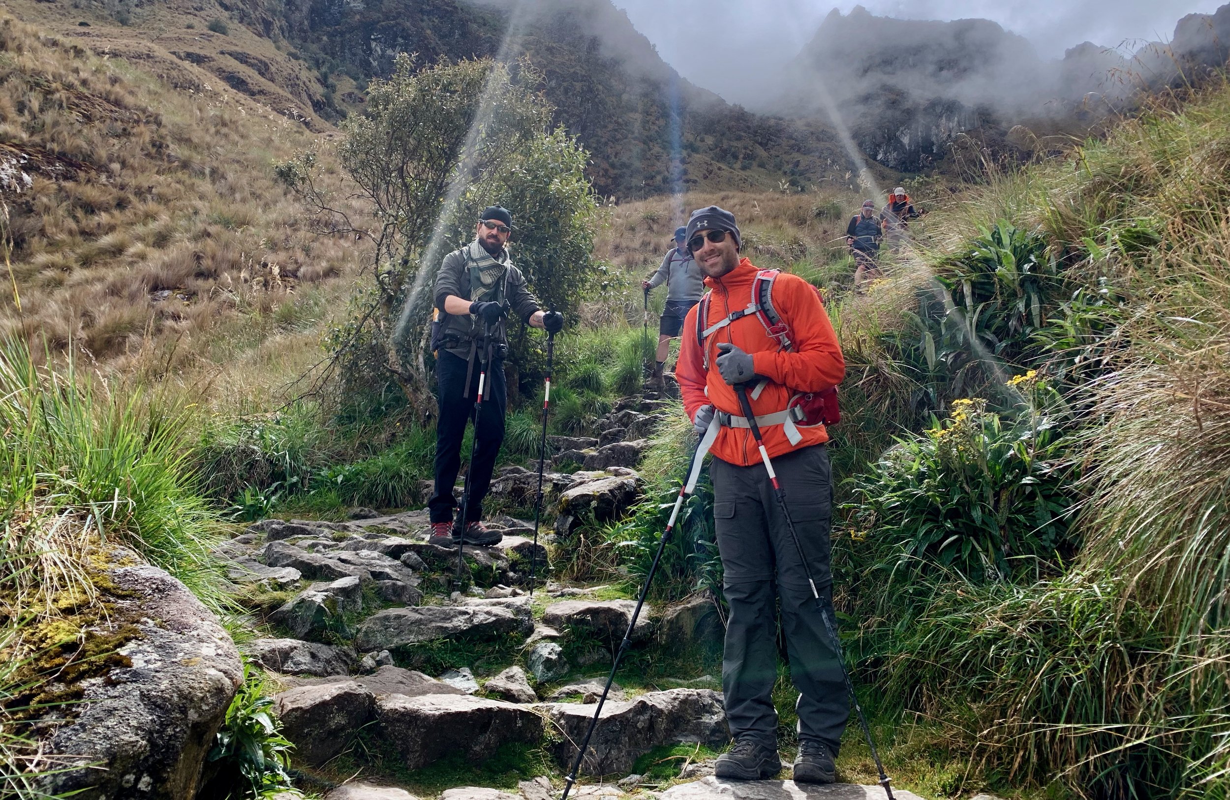
Day 2 was intense. Our wakeup call was at 4:30AM and we were on the trail by 5. It was about this time that the group realized how badass our porters were. They woke up earlier than us, left later than us, and passed us all on the way up with little trouble so that when we arrived to camp that night, all would be set up and ready. It was insane. They’re the real MVPs here.
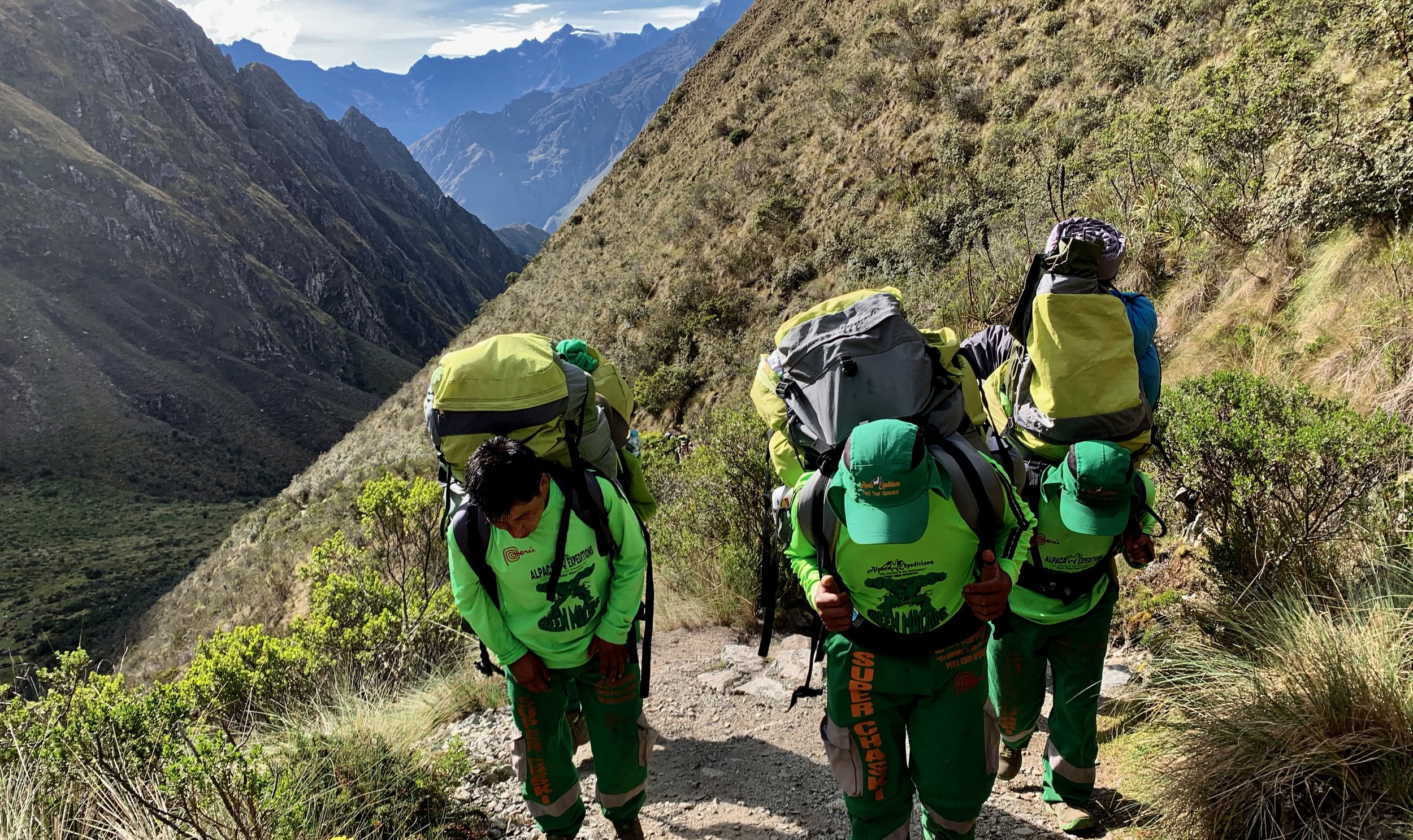
Our incredible porters, nicknamed “The Green Machine” and “Super Chaskis”

Zac sitting on top of the world. What a ham!


On the summit of Dead Woman’s Pass
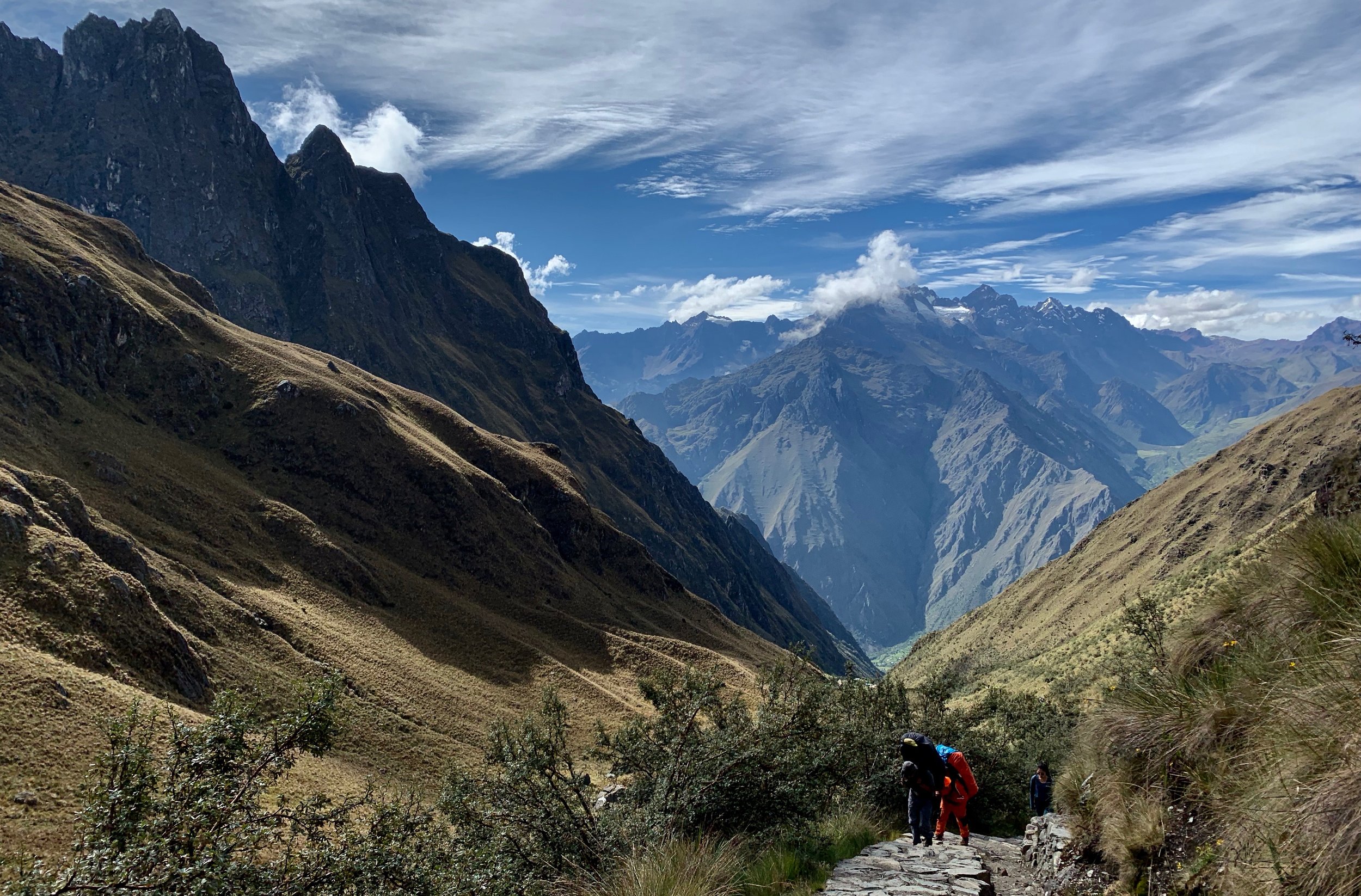
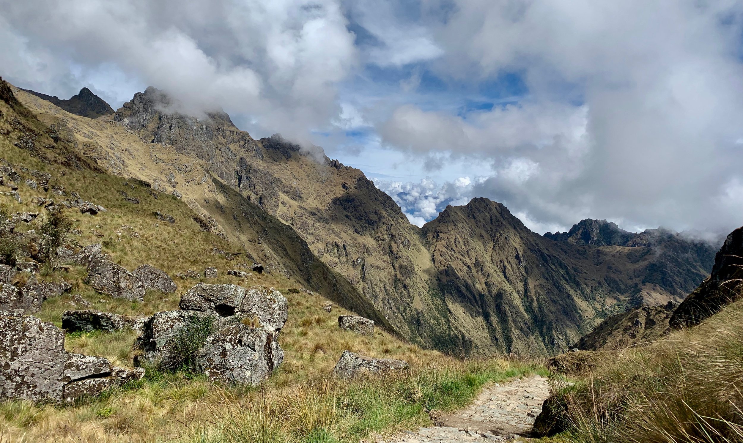
The trail on Day 2 is essentially straight up and down the mountain passes so the challenges were not in the distance so much as the altitude, our mental acuity, and leg stamina. My heart rate was consistently in zone 5 for the majority of the uphill climbs, which meant a lot of stop and go to allow recovery. I’d trained quite a lot for the trail so my recovery times were quick, but I hadn’t experienced this kind of altitude since I was about 17 doing some climbing in Scouts. It was difficult.
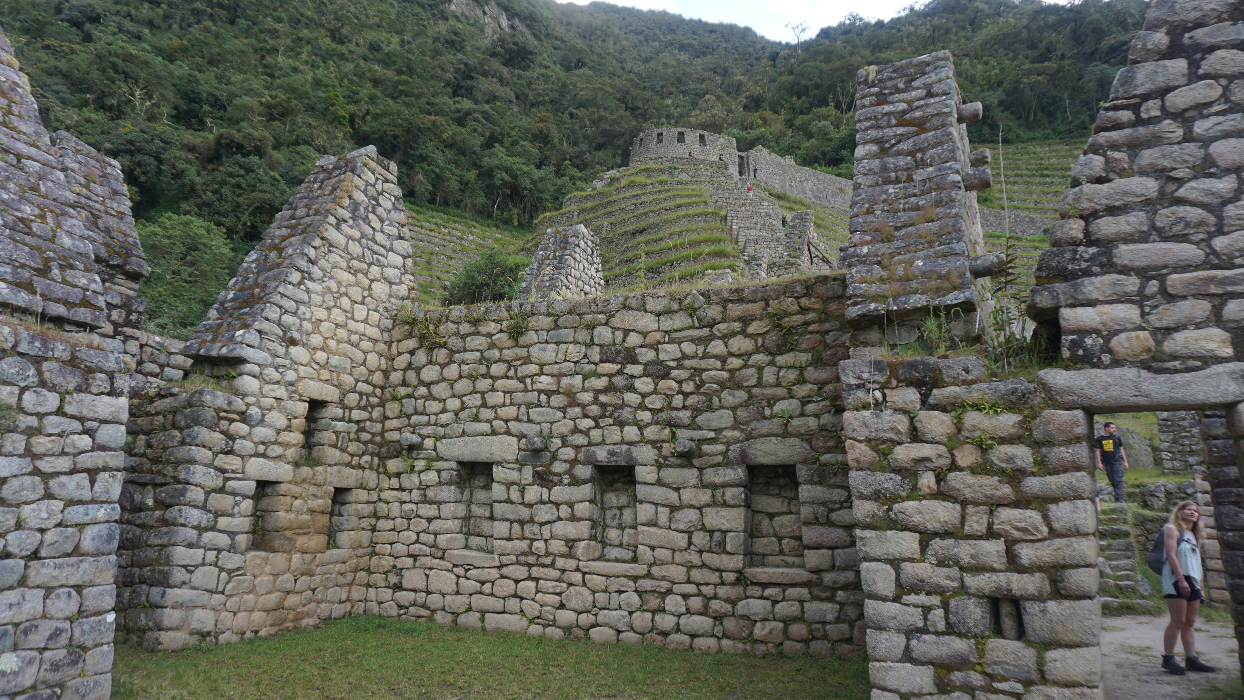
After our lunch between the two passes, we were able to see two Inca sites - Runku Raccay and Sayacmarka. As Reynaldo explained Sayacmarka was used as an astronomical observatory where elder Inca knowledge-holders would have lived out the end of their lives keeping astronomical records for use in agriculture and religion.
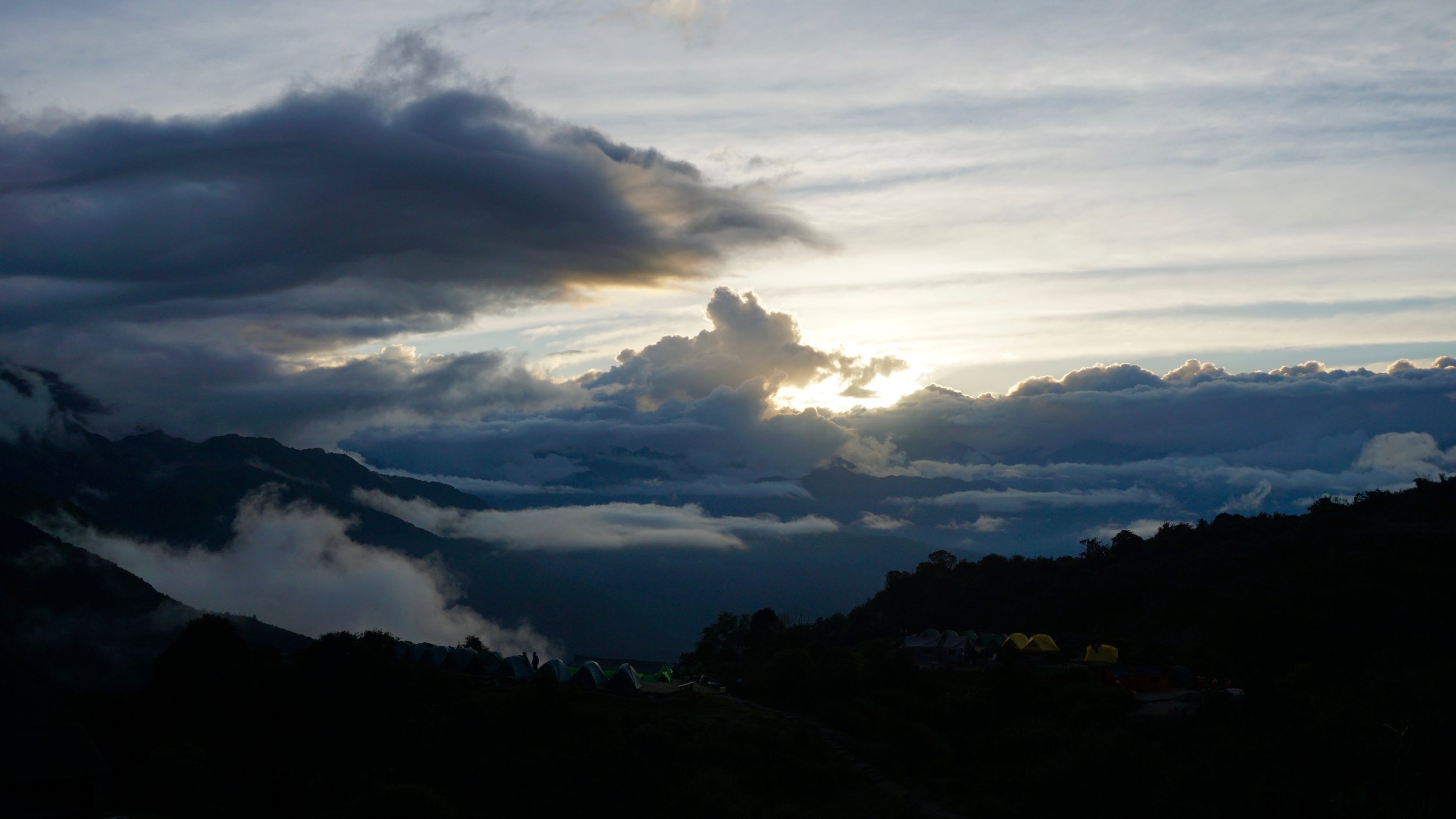
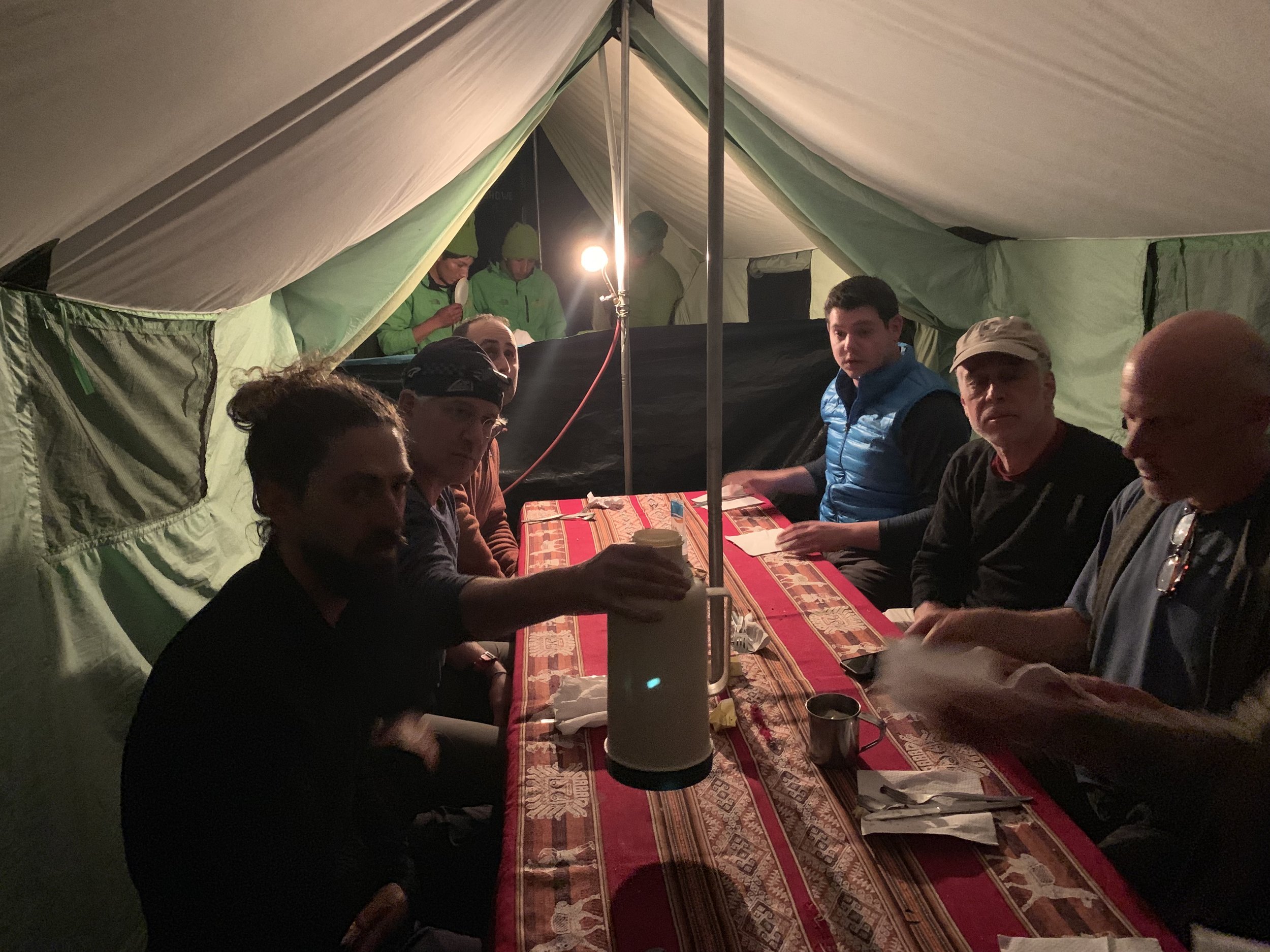
We finished the day exhausted and ready for sleep at our campsite called Chaquicocha. But not before we got the chance to sit together drinking coca mate, telling stories, and taking in a pretty remarkable and rare Andean autumn sunset. When you’re that high up, the sun hides early and quickly. We got lucky.

Day 2 Photos
Use the controls to change photos. Hover over the photo for details.


Mellowing Out After All That Climbing
Excuse Me, Have You Seen My Hulking Legs?
Walking Distance: 10 km - 6.2 miles
Camp Elevation: 2,600 meters - 8,530 feet
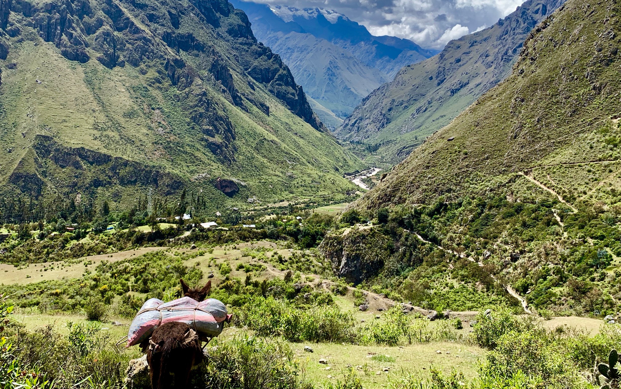
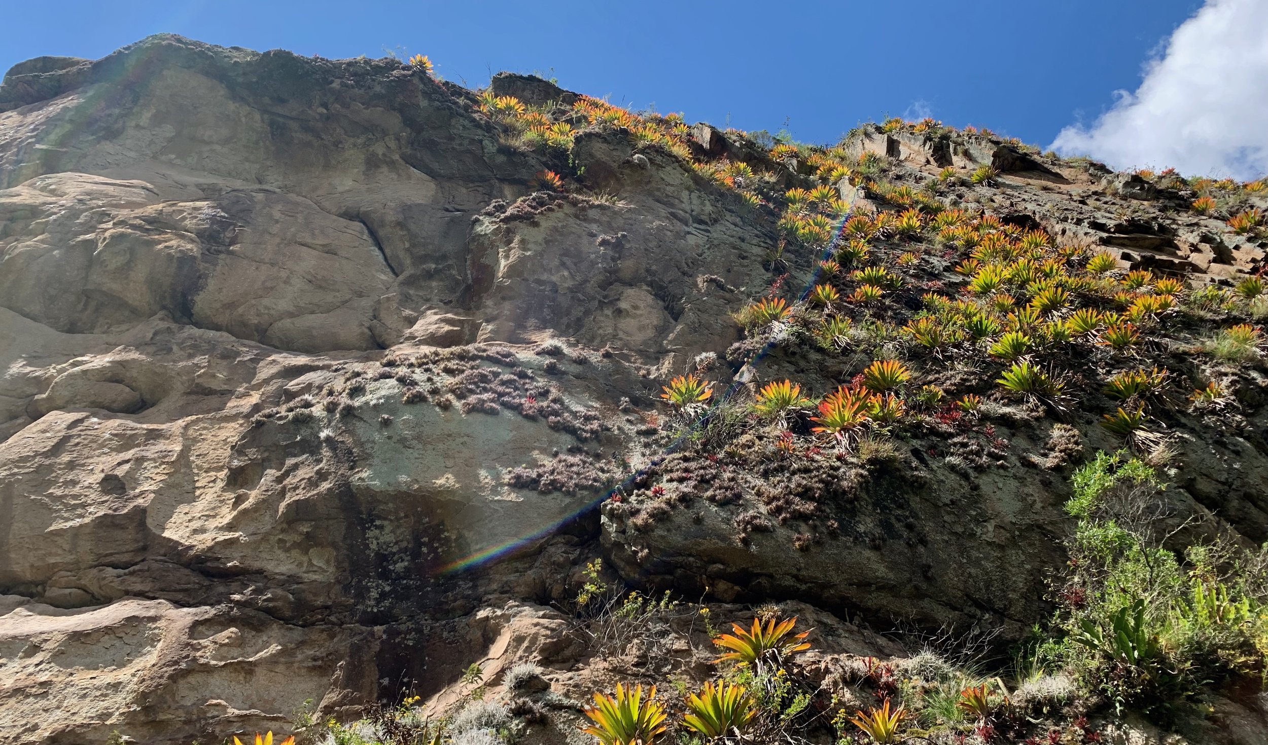
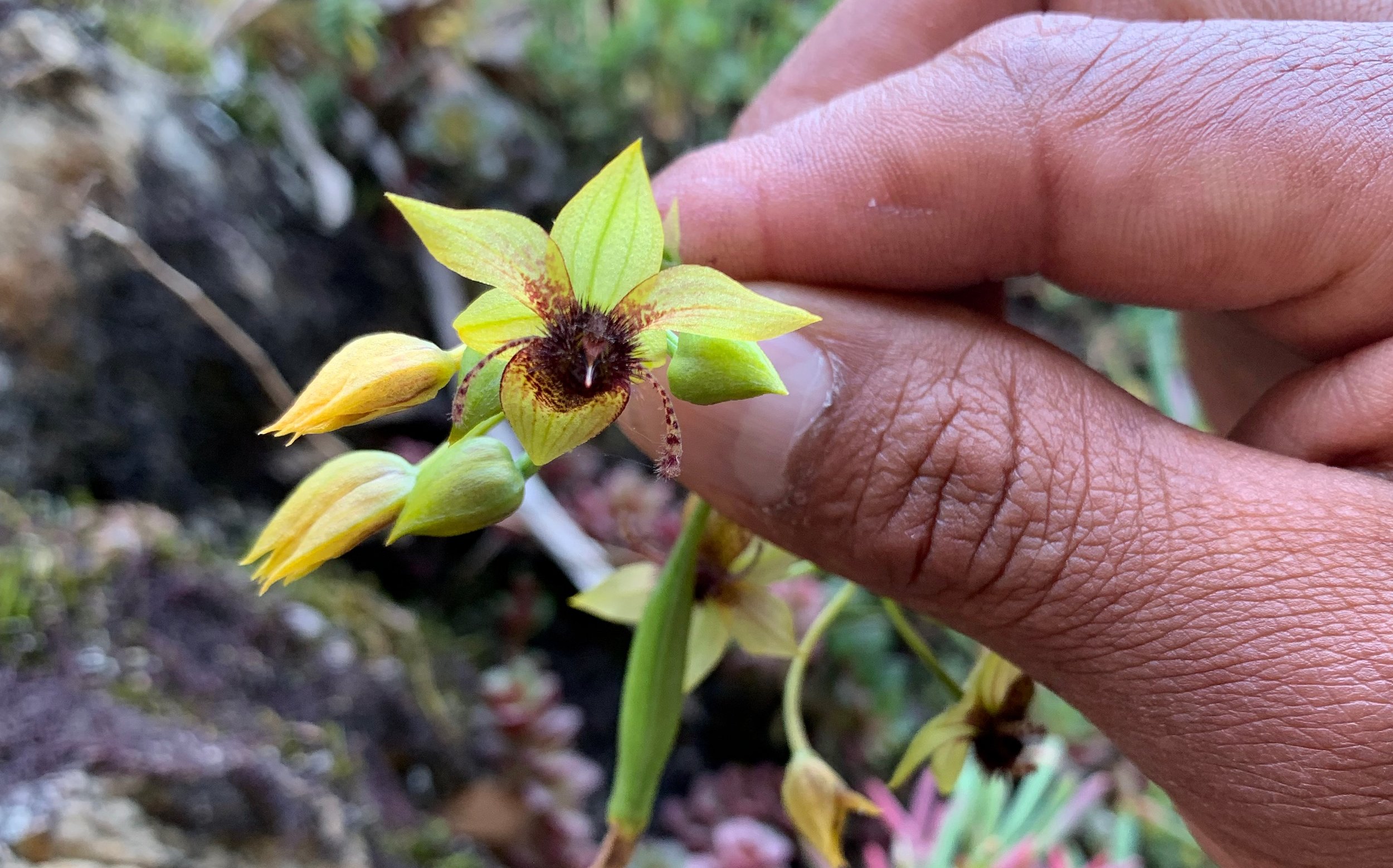
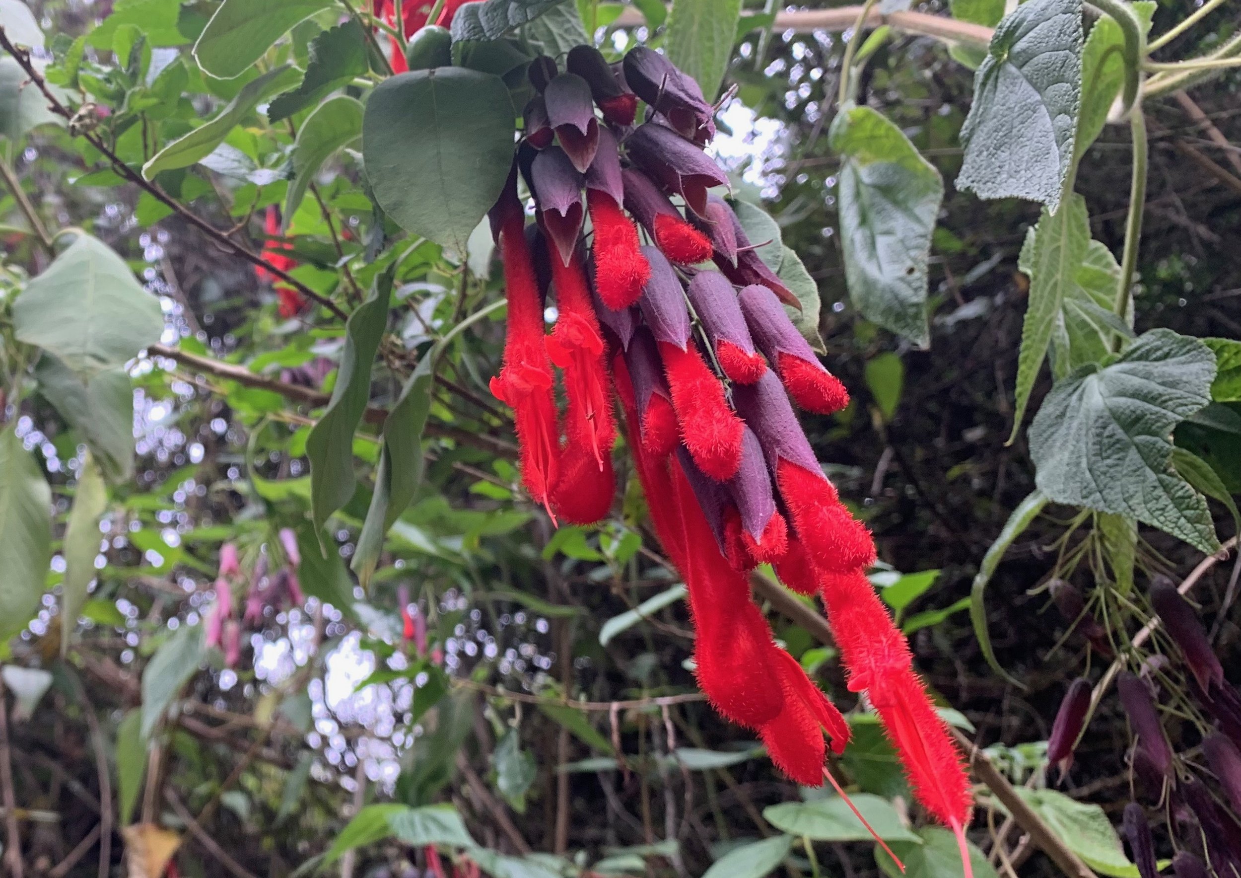
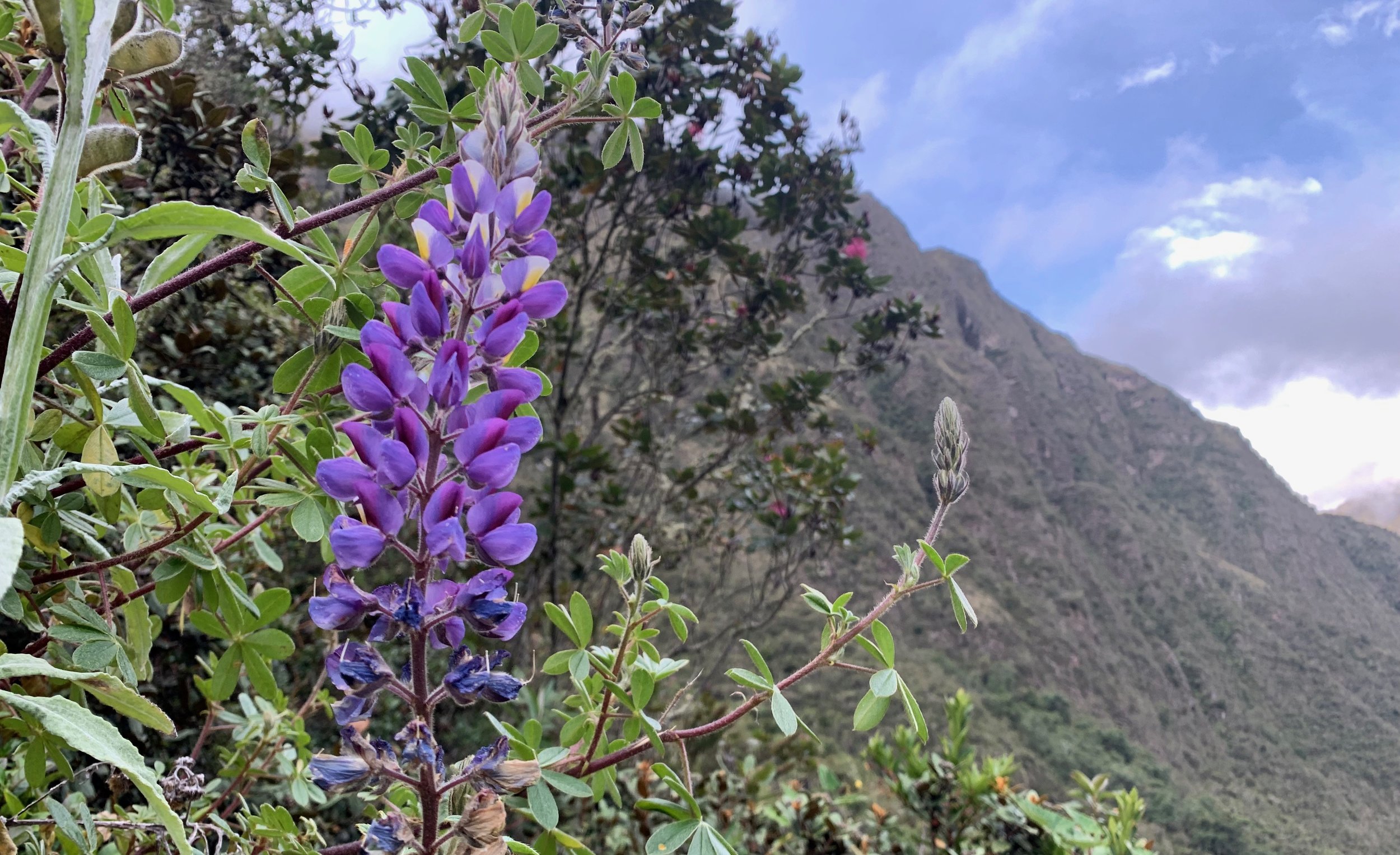
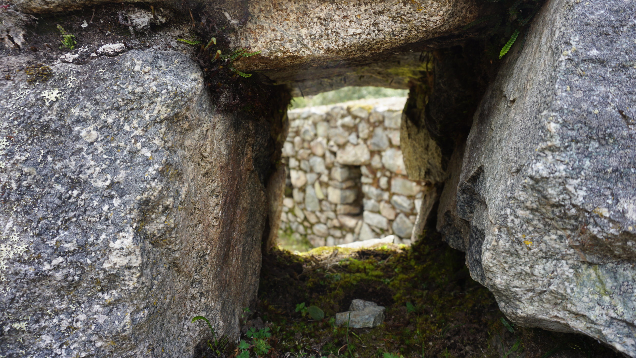
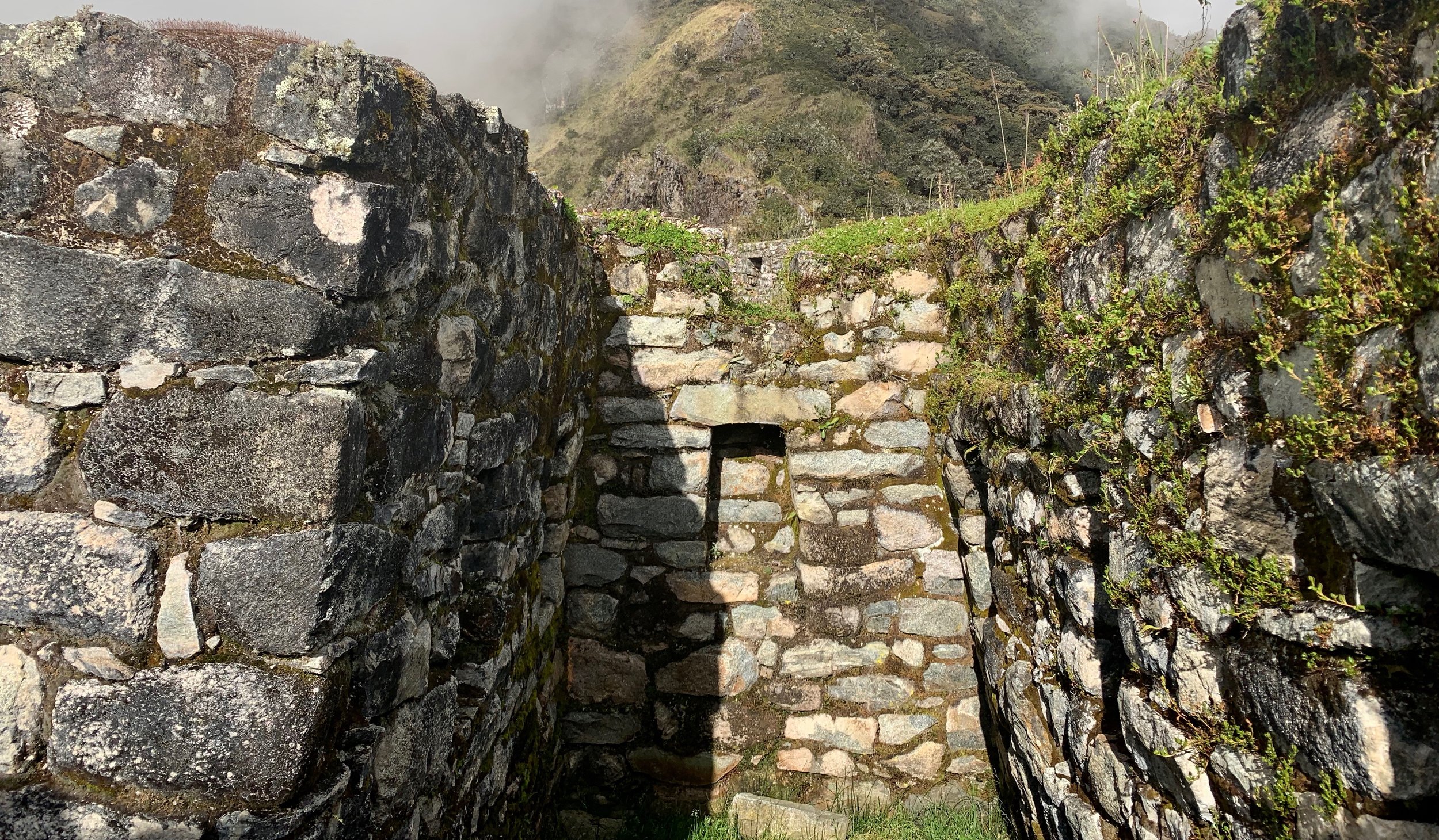
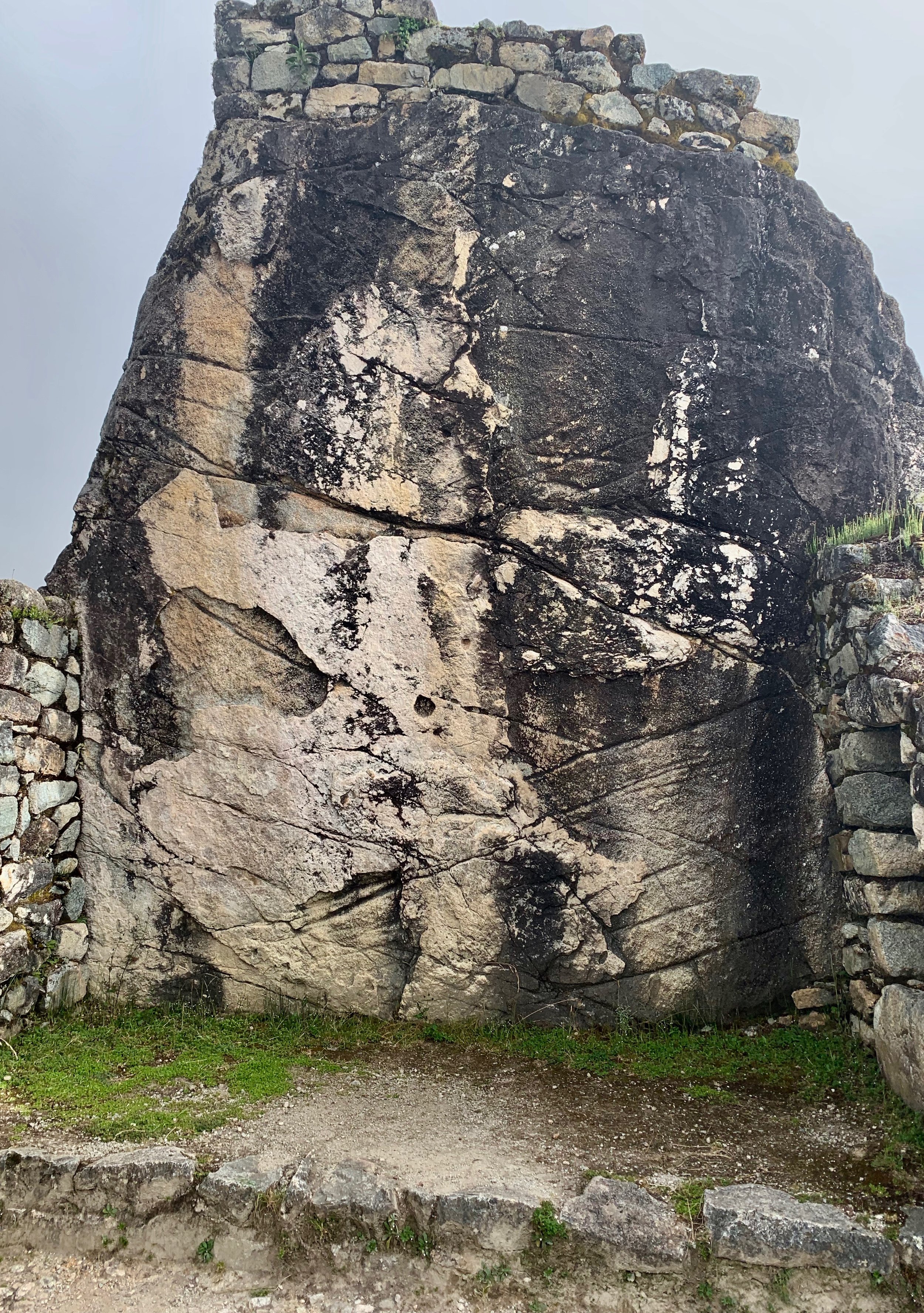
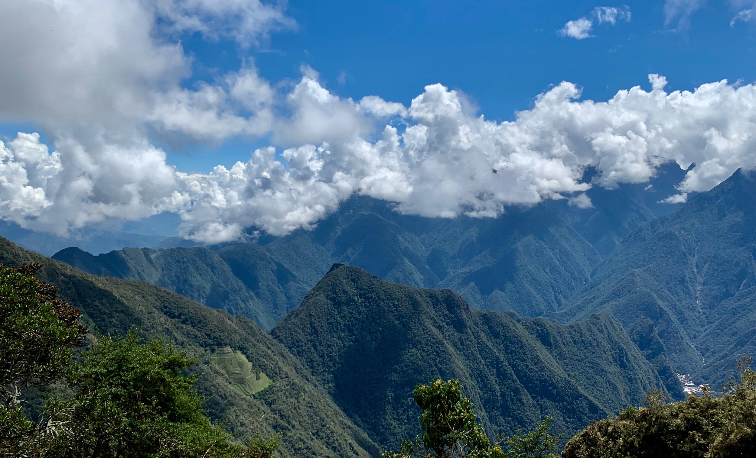
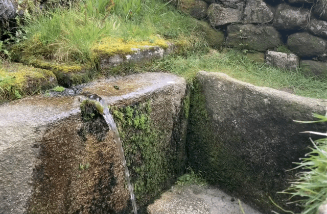
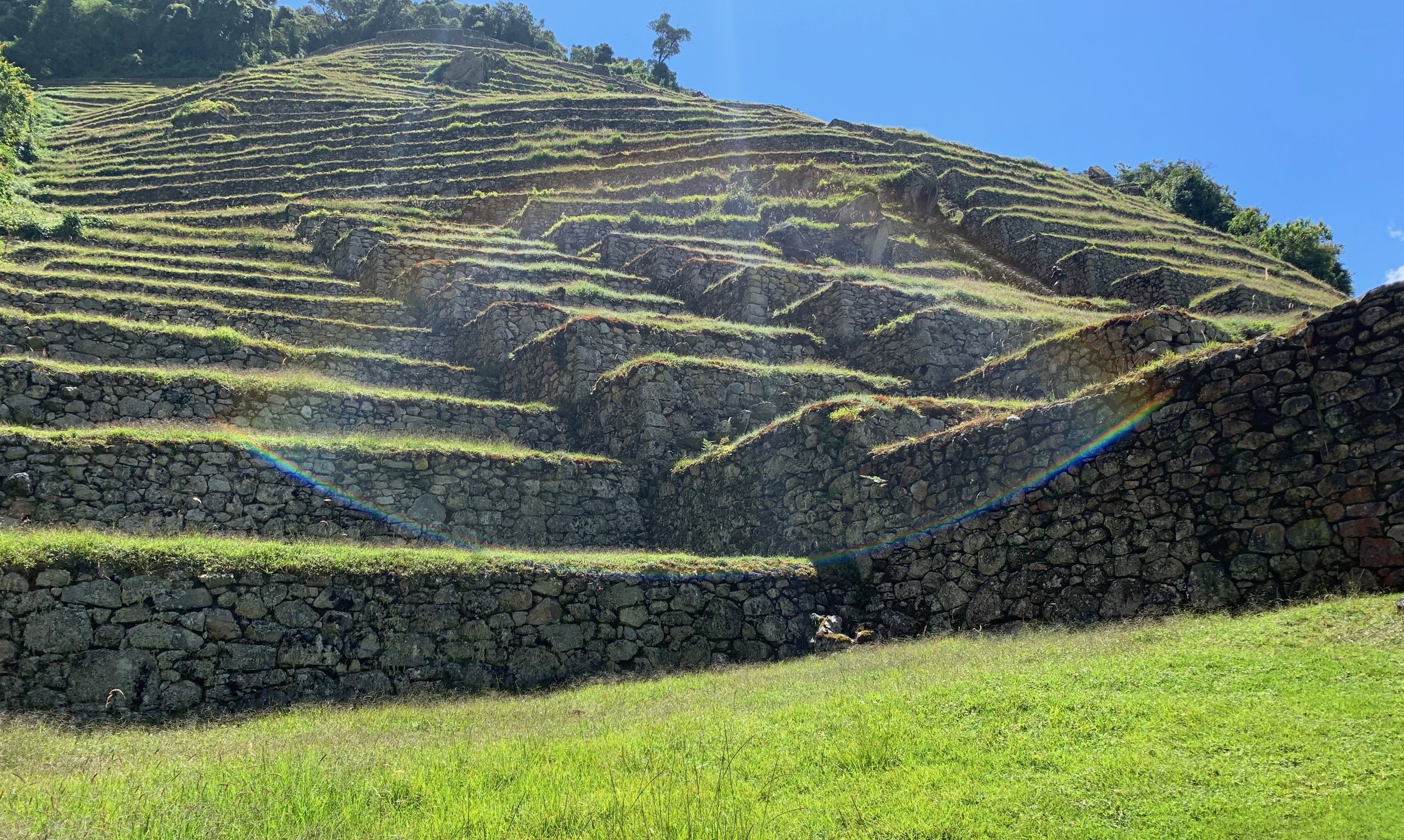
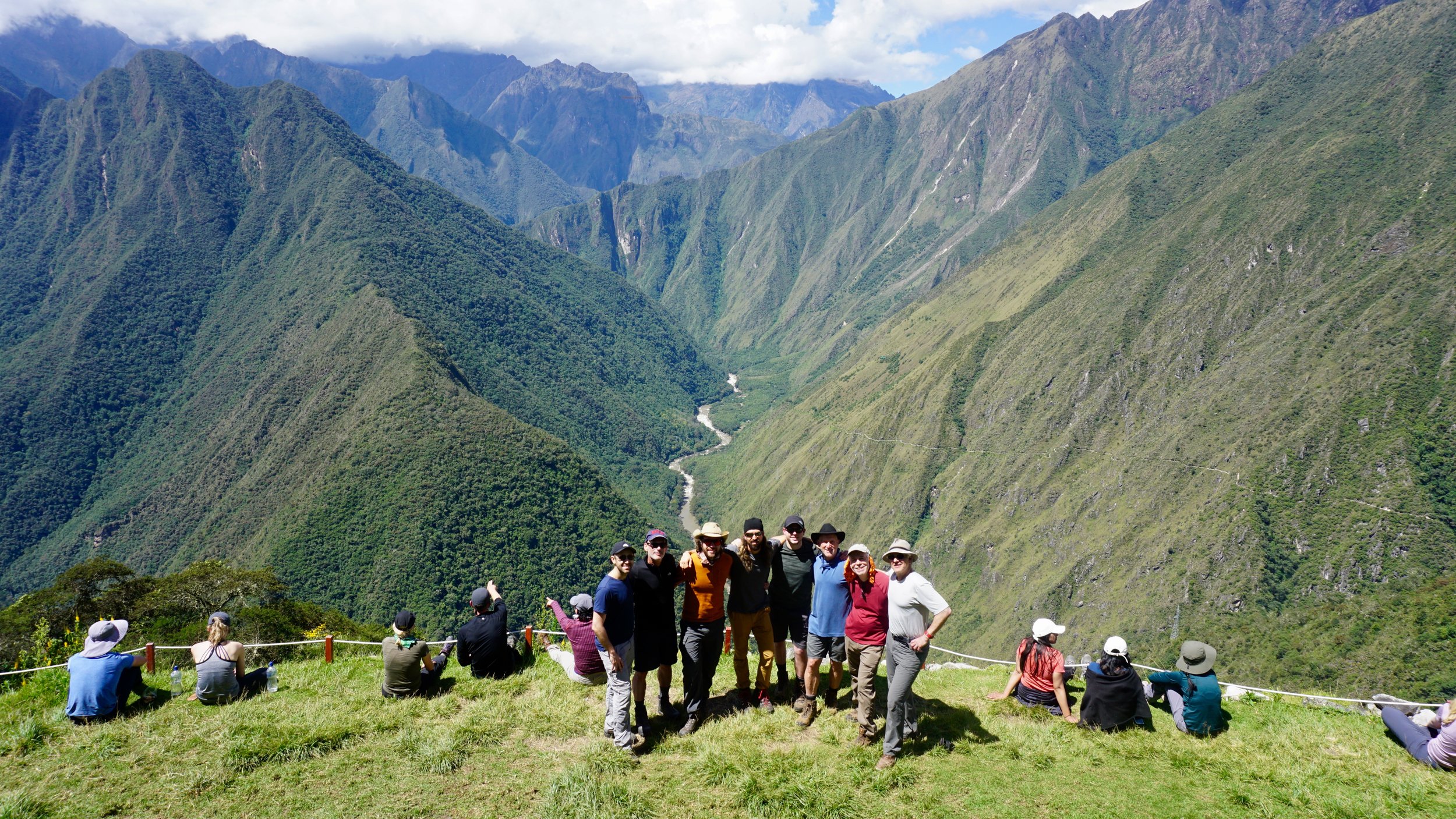
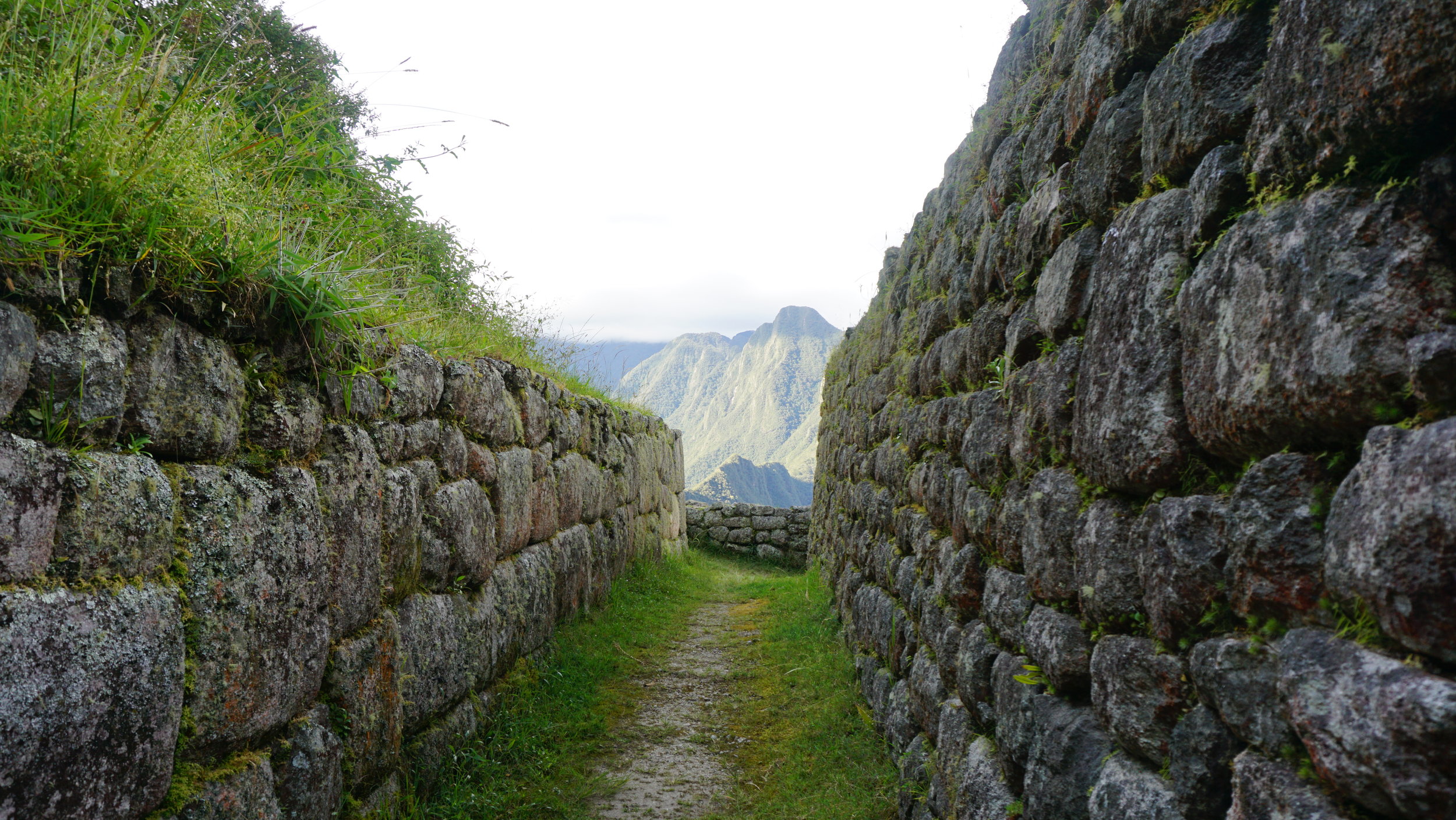
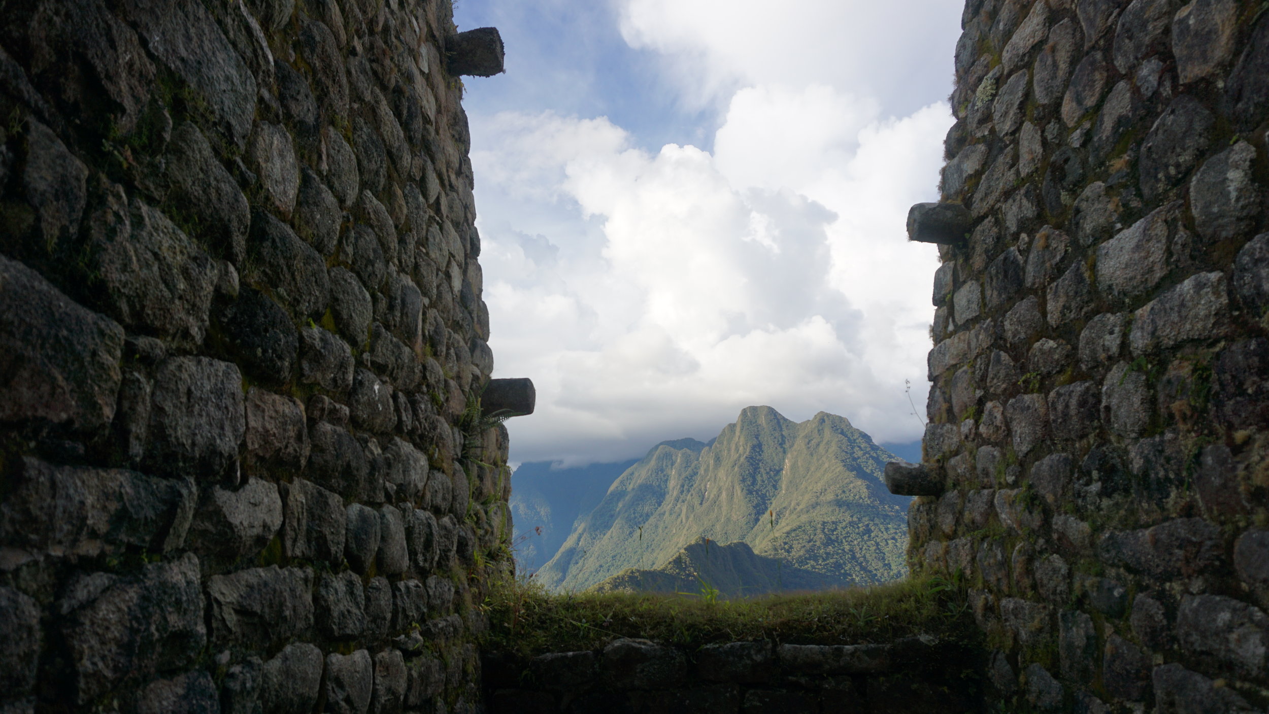
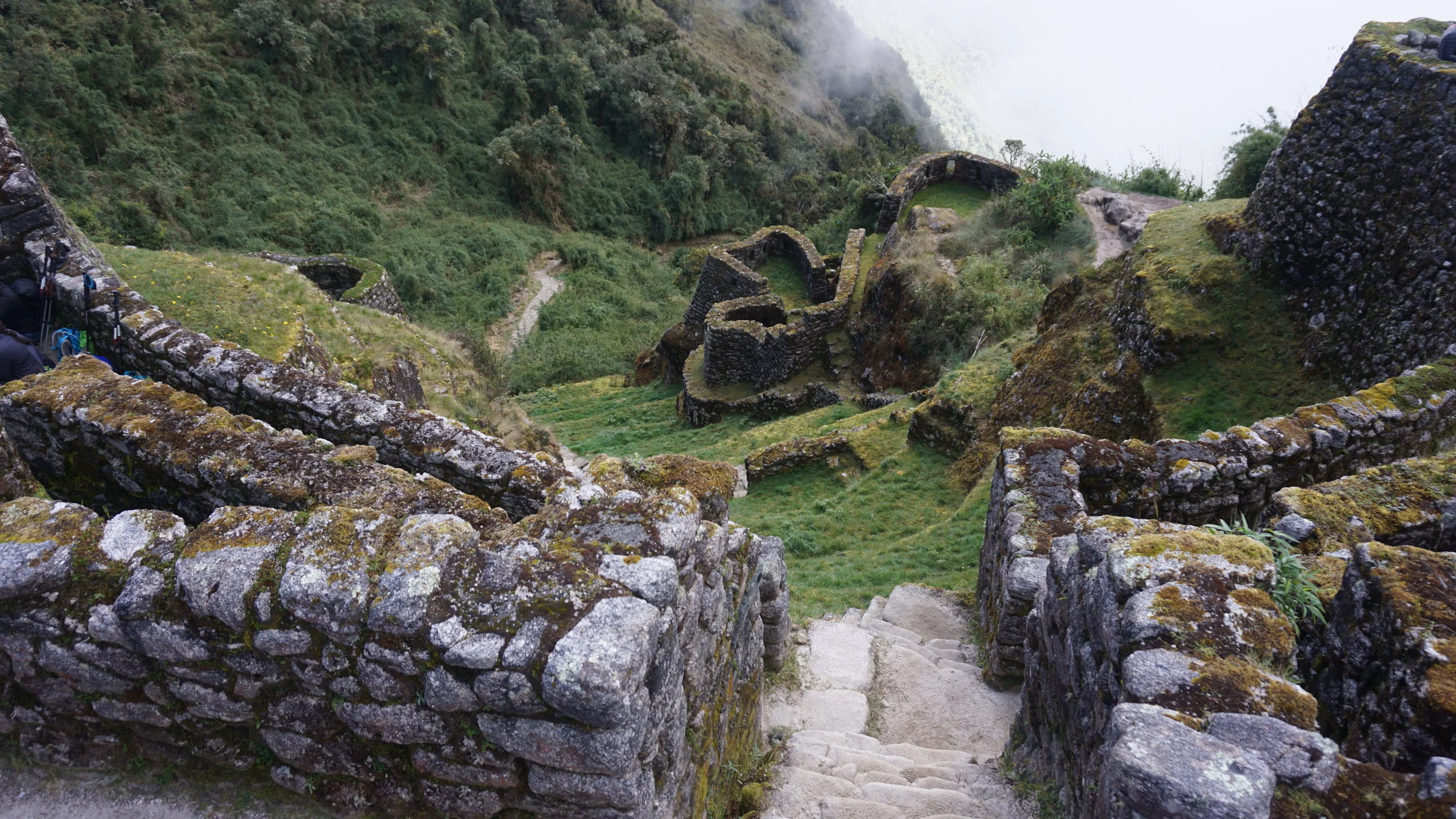
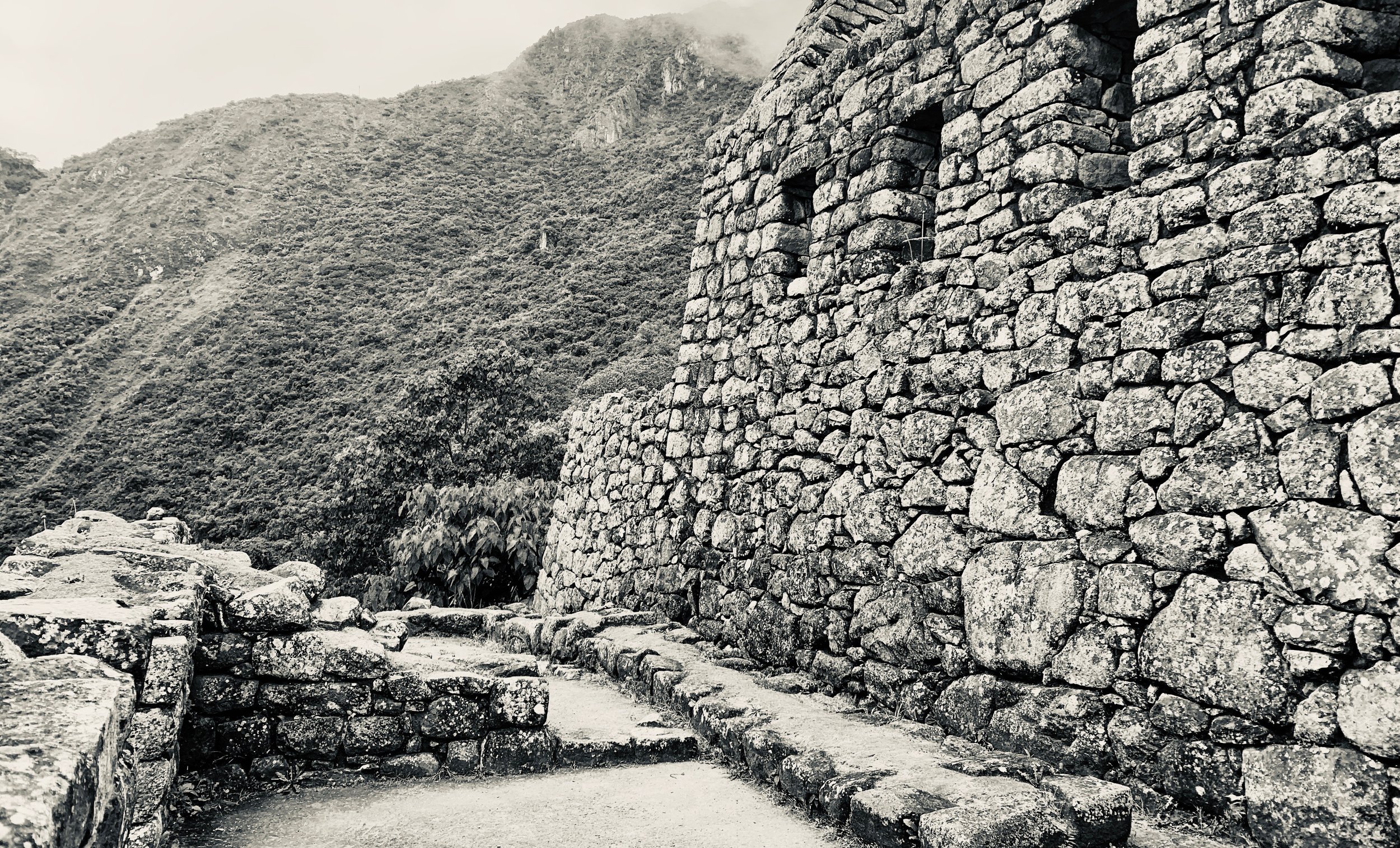
Day 3 was pretty mellow compared to the adjusting and climbing of the two prior. We had the good fortune of sunny weather and a leisurely pace to our final camp. After breakfast, it was a two hour hike to the last pass of Phuyupatamarca, which is at 3,680 m - 12,073 ft. The views of of the Vilcabamba mountain range and Salkantay mountain were remarkable. About three hours in total walking to the final campsite, we stopped and observed a ton of flora, received some great lessons from Reynaldo, and visited two Inca sites, Phuyupatamarca (Village above Clouds) and Intipata (Terraces of the Sun), finishing with my favorite site, Wiñay Wayna (forever young).
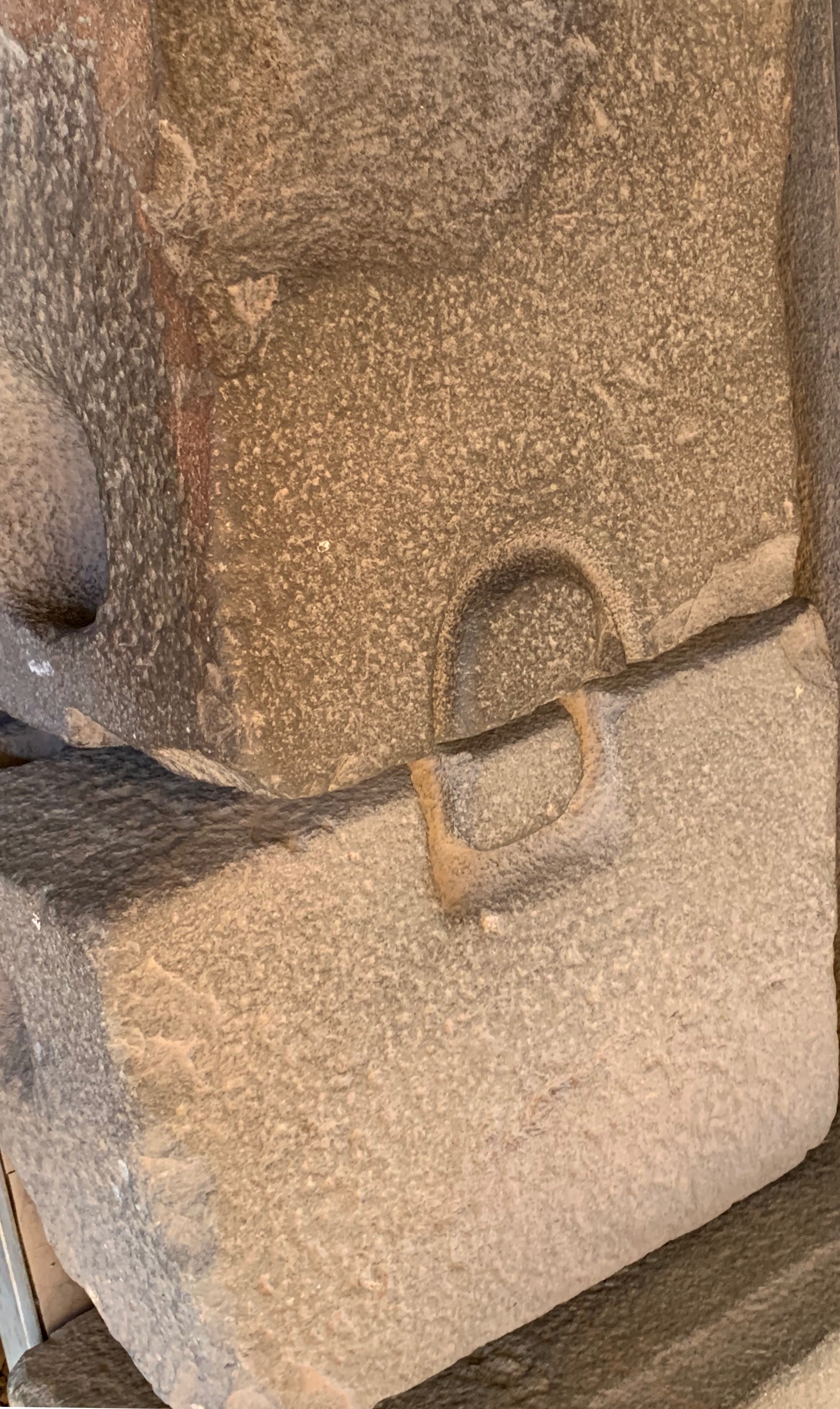
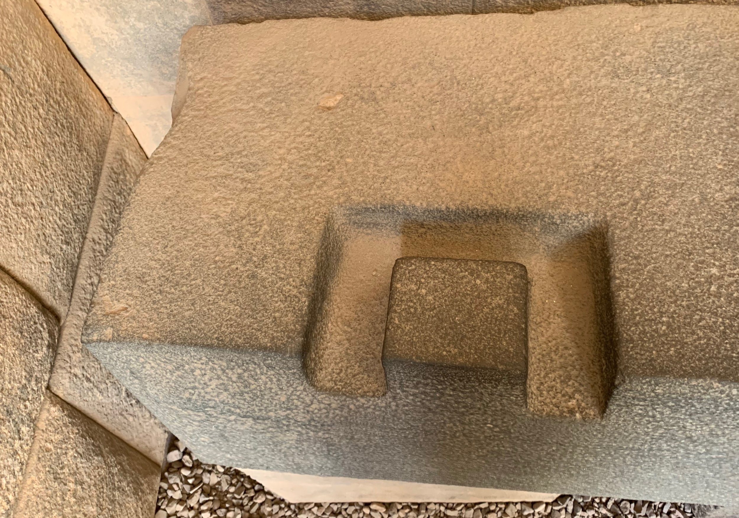
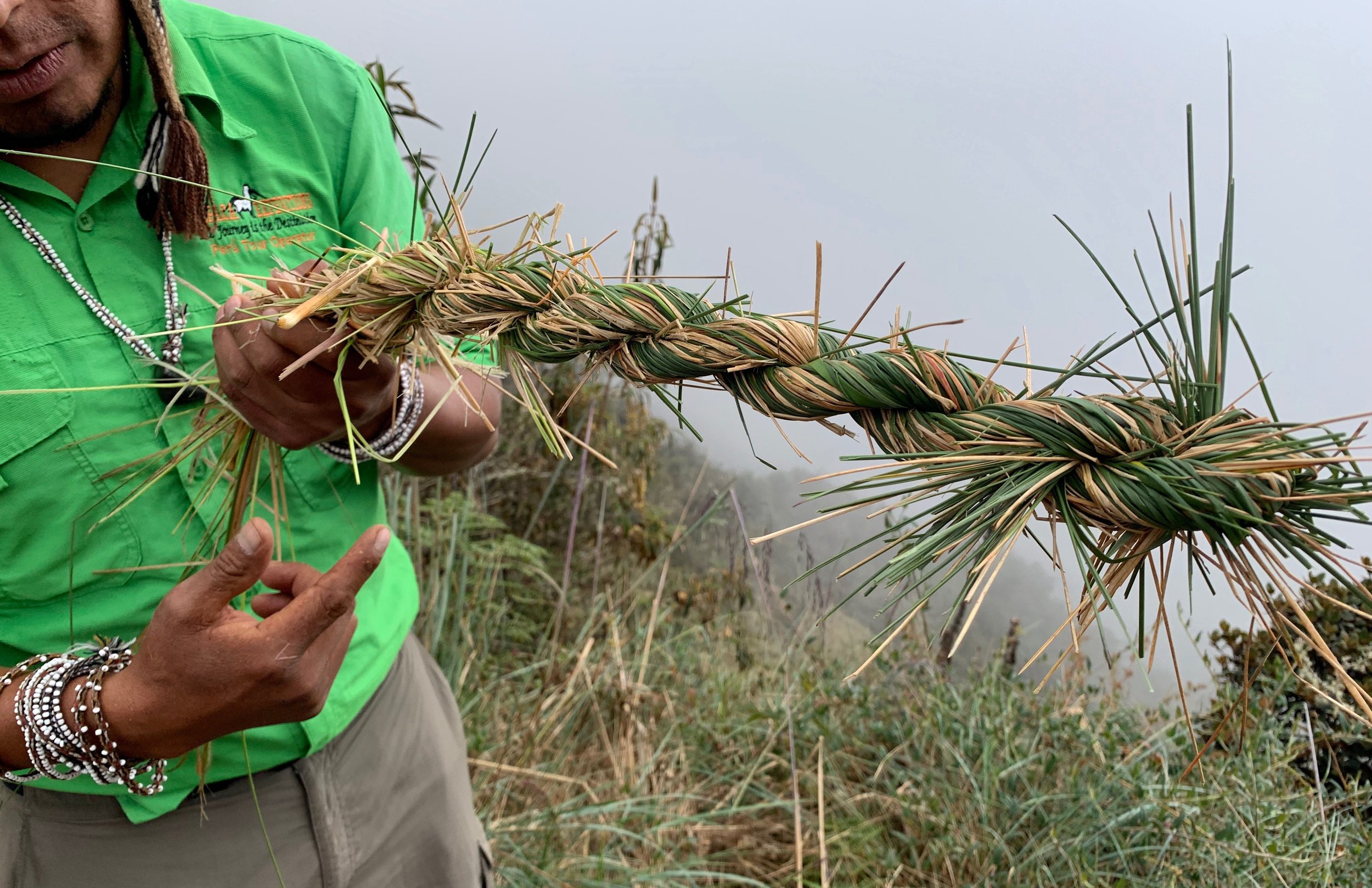
Reynaldo talked about his family’s history and his connection in heritage to the Inca sites we were experiencing. He did not refer to Peru as his country, but rather as "nuestra casa” - our home. And his love for his people and for the immense land in which we found ourselves enveloped was brilliant. He played songs for us on his flute and taught us how the Inca made suspension bridges with Ichu grass to connect pieces of trail that would otherwise be un-traversable.

Bridge making technique with ichu grass

Wiñay Wayna (forever young) towering in its solitude and brilliance
Wiñay Wayna was my favorite site we visited. I’m not sure if it was just the sense of finality I felt when we were there, knowing that the next day we would no longer be away from society, or whether there was some other sense of agricultural connection given my family history. But I could imagine living and growing things there.
Reynaldo explained to us a few of the techniques used to create the 2000+ varietals of potato that the Inca developed with the simplicity of pollination. The Inca would intentionally plant two varietals of potatoes they wanted to breed on adjacent terraces and when the plants bloomed, the bees and hummingbirds took care of the work to produce new varietals. It’s simple and genius. For a society to have such a sophisticated understanding of agriculture at a scale like that made a deep impression on me. It’s probably my indoctrinated white, American arrogance at work.
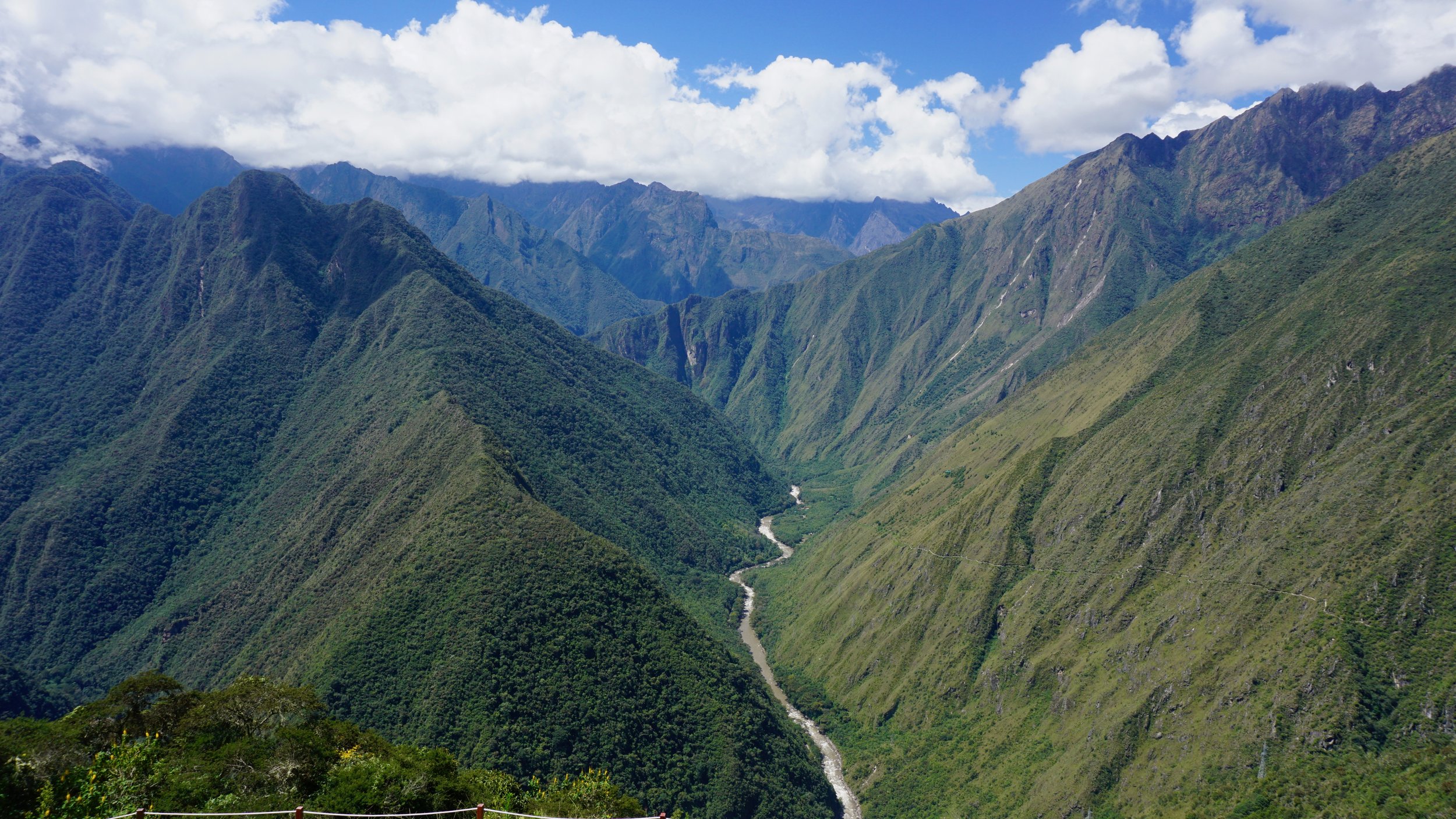
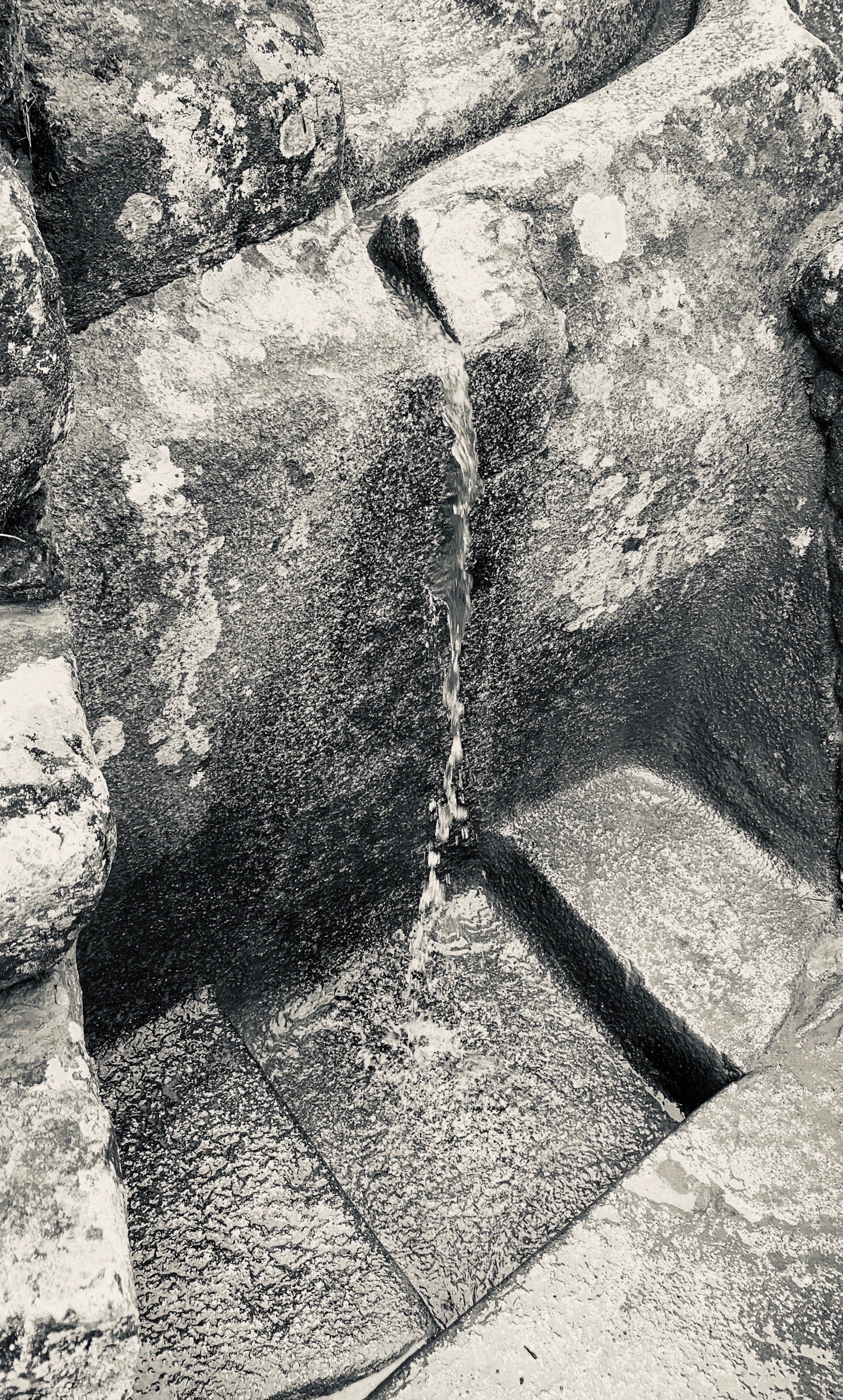
Surrounding the terraces were beautiful peaks, waterfalls diverted and channelled by Inca aqueducts, and a sense of stillness I haven’t felt in a long time.

Our final camp near Wiñay Wayna.
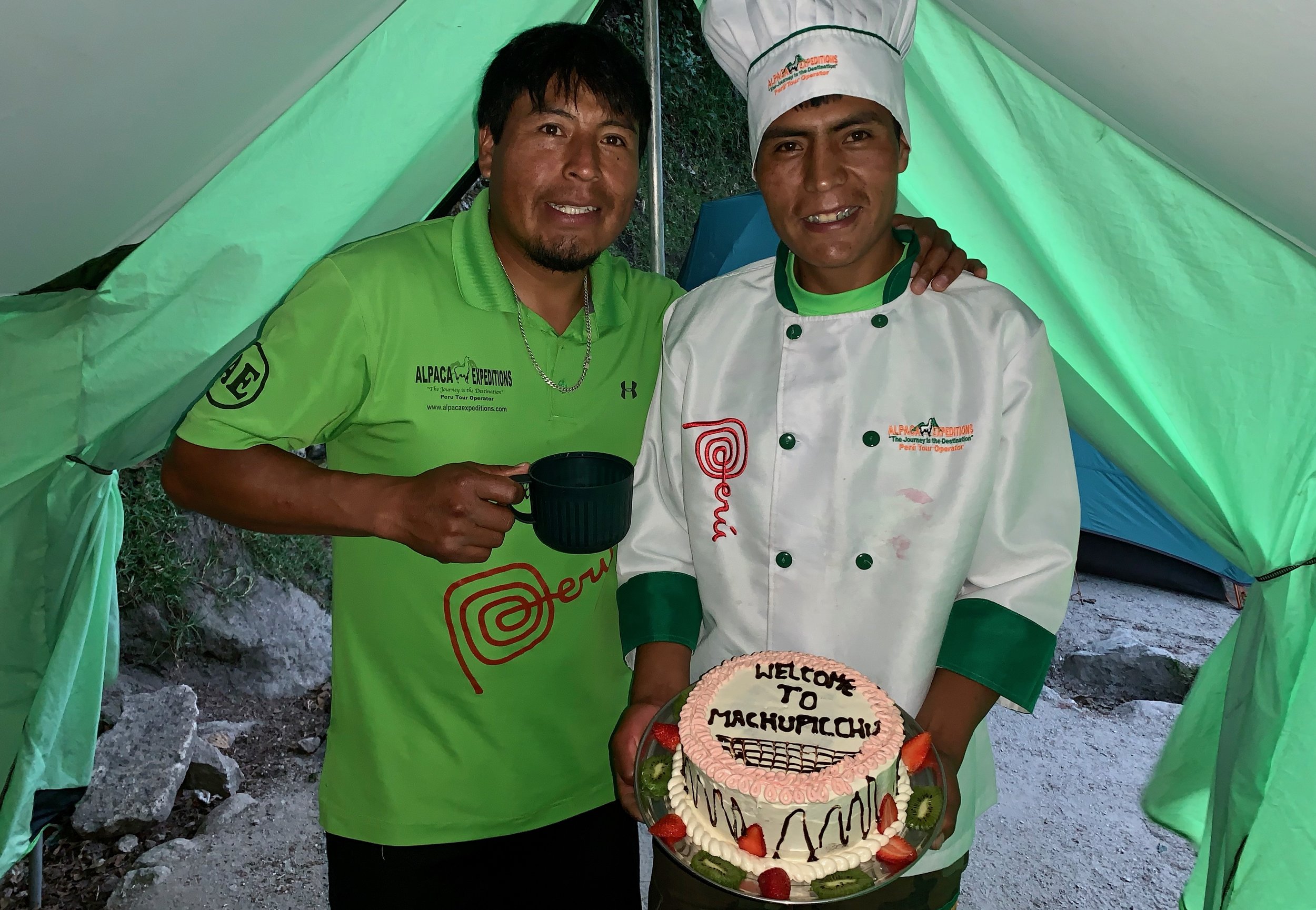
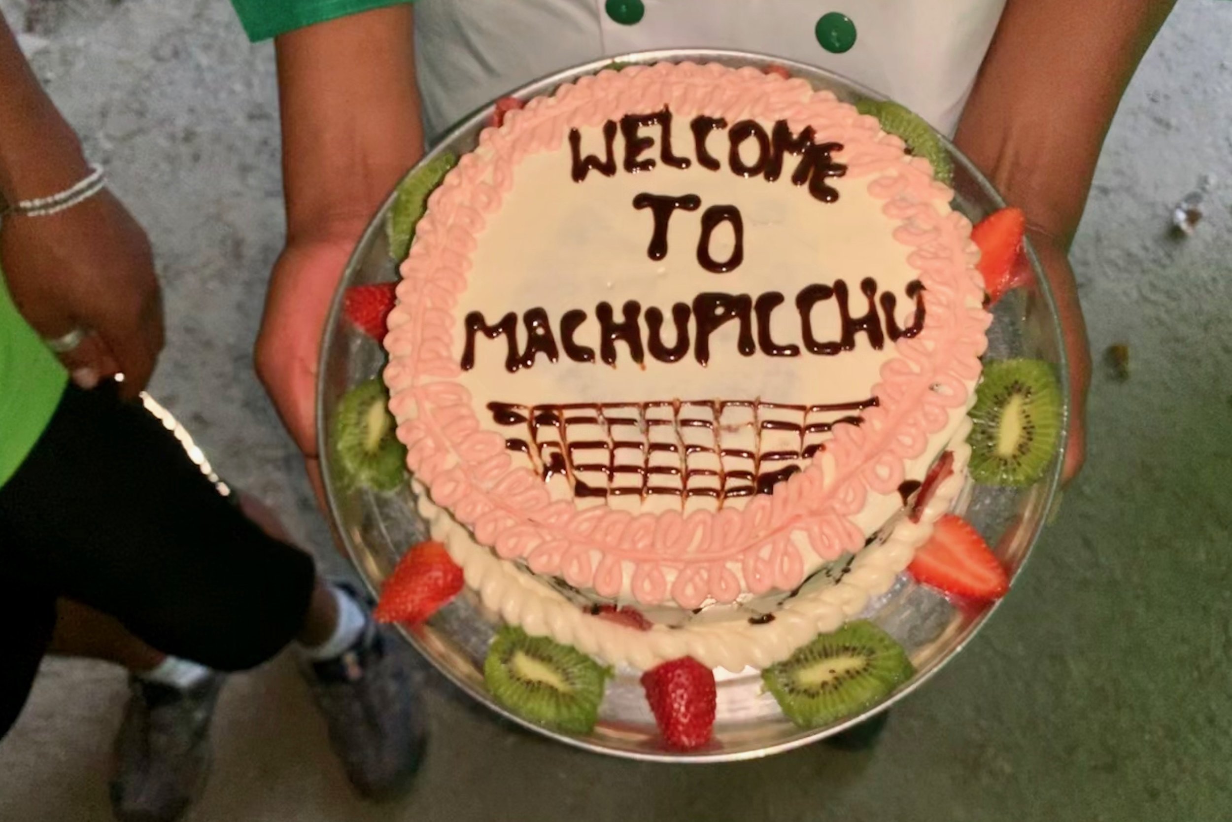
That evening we had our final ceremony with our new friends and porters. We exchanged words and gifts with one another (they baked us a cake!). I felt sad to be winding up our trip. I’d done my best to learn some Quechua and speak with our porter friends as often as I could. They worked so hard and entirely for the benefit and ease of our hike. I felt grateful and wrote some words that I read to the group that evening.
“Amigos, compañeros, caballeros…
Yo soy eternamente agradecido por todo el trabajo que todos hicieron que esta experiencia sea inolvidable. Espero que nos recuerde con felicidad en sus corazones, ya que le recordaremos con felicidad en la nuestra. Estamos muy orgullosos de haber estado en este grupo con ustedes. Aunque vivimos en los Estados Unidos y ustedes aqua en el otro lado del mundo, creo que todos somos gente en una is Unida America. Muchisimas gracias a ustedes y bendiciones a ustedes y sus familias. ”
I will not forget their kindness and diligence. I hope to see them again when I return to Peru.

Day 3 Photos
Use the controls to change photos. Hover over the photo for details.


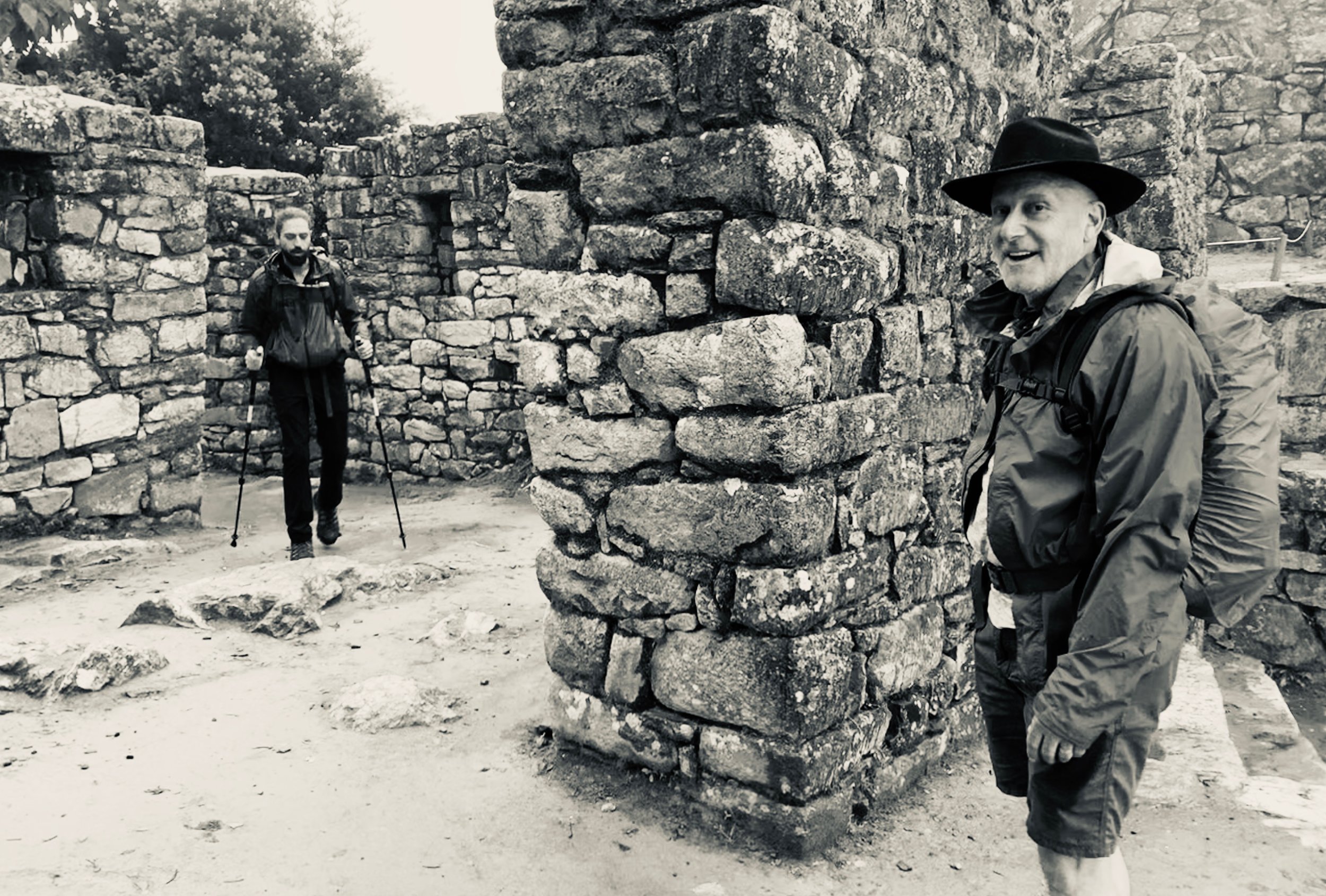
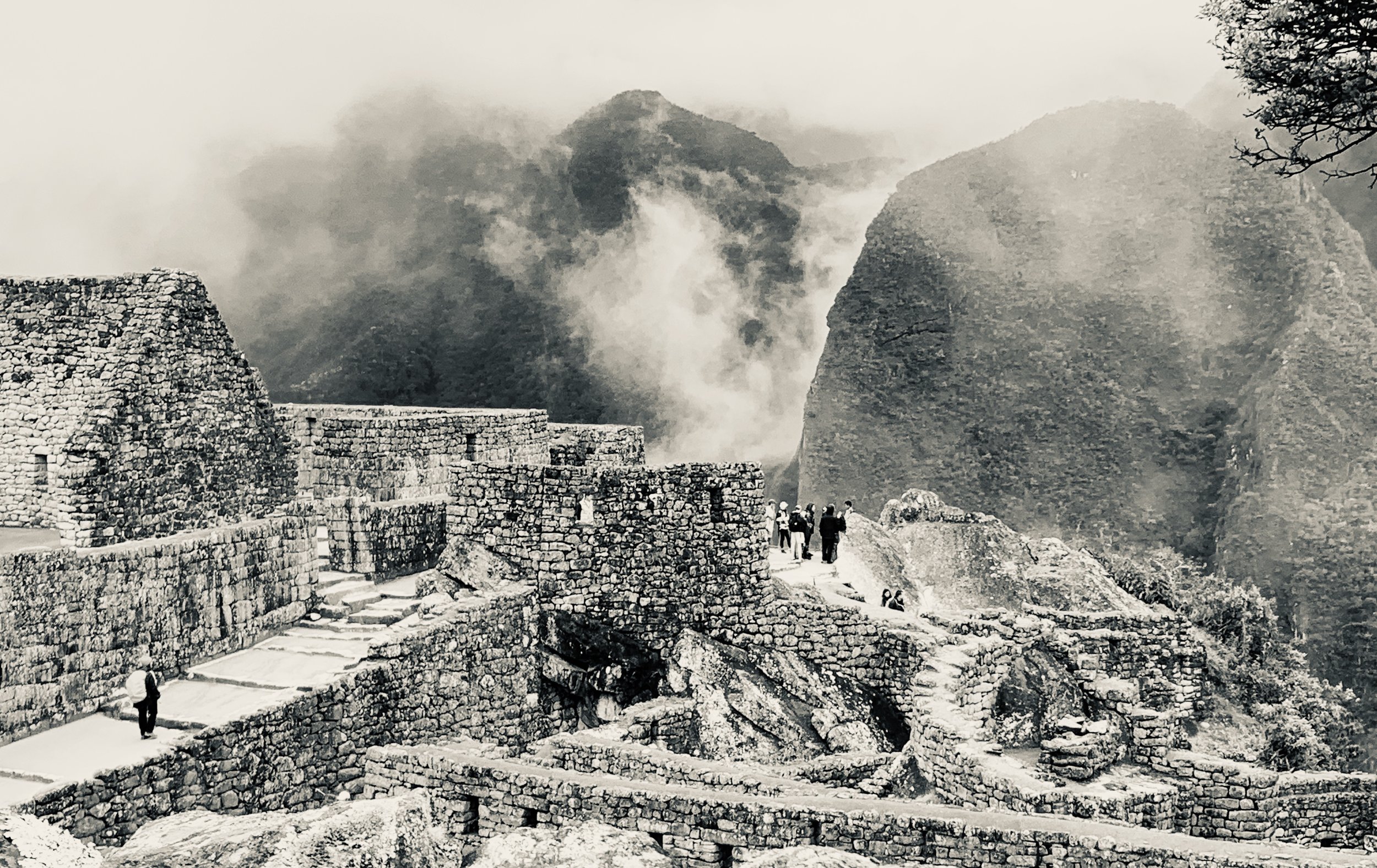
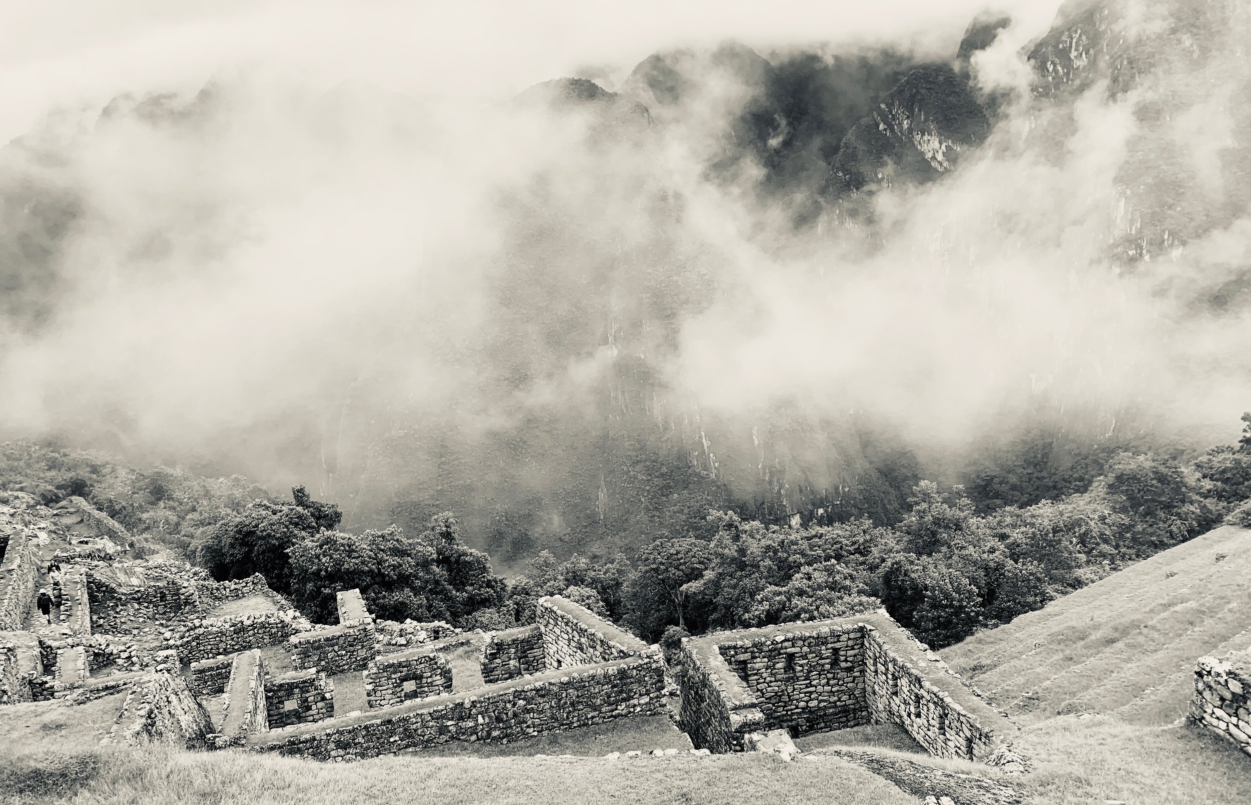
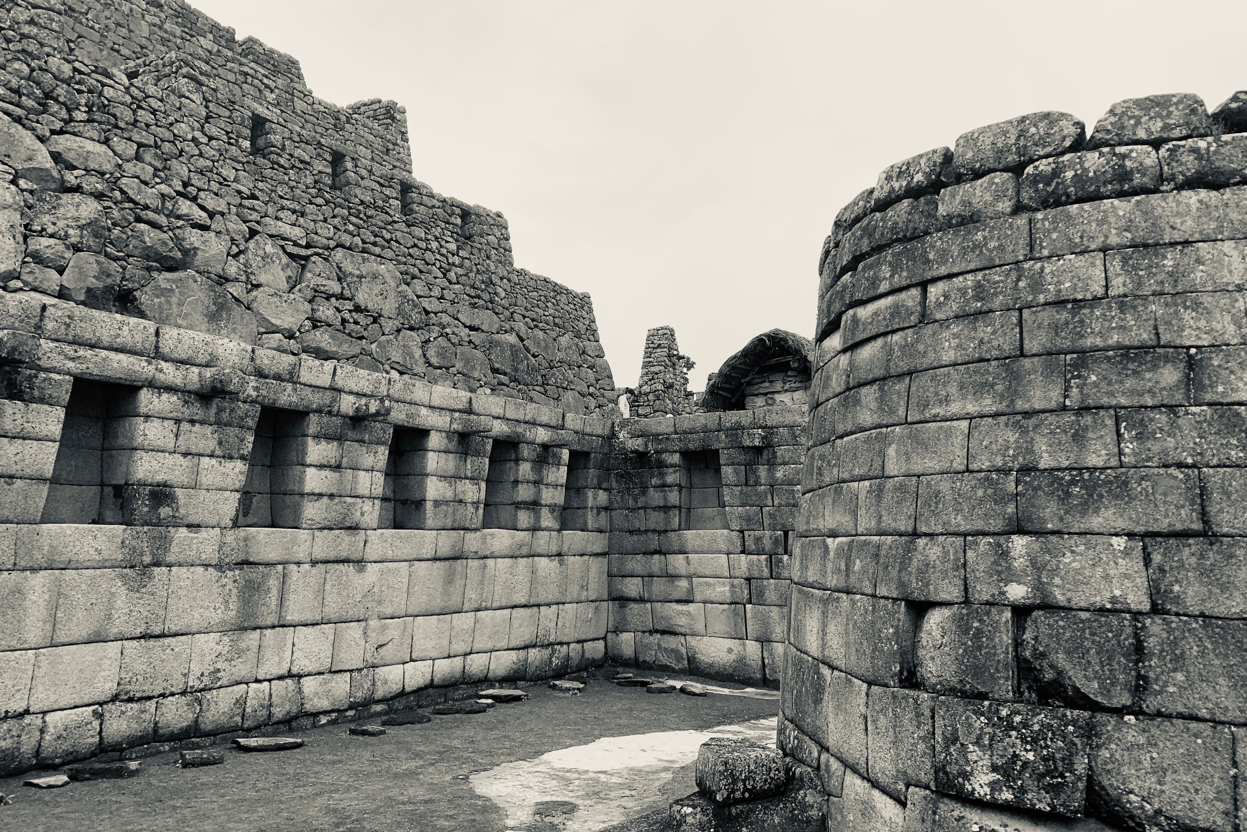
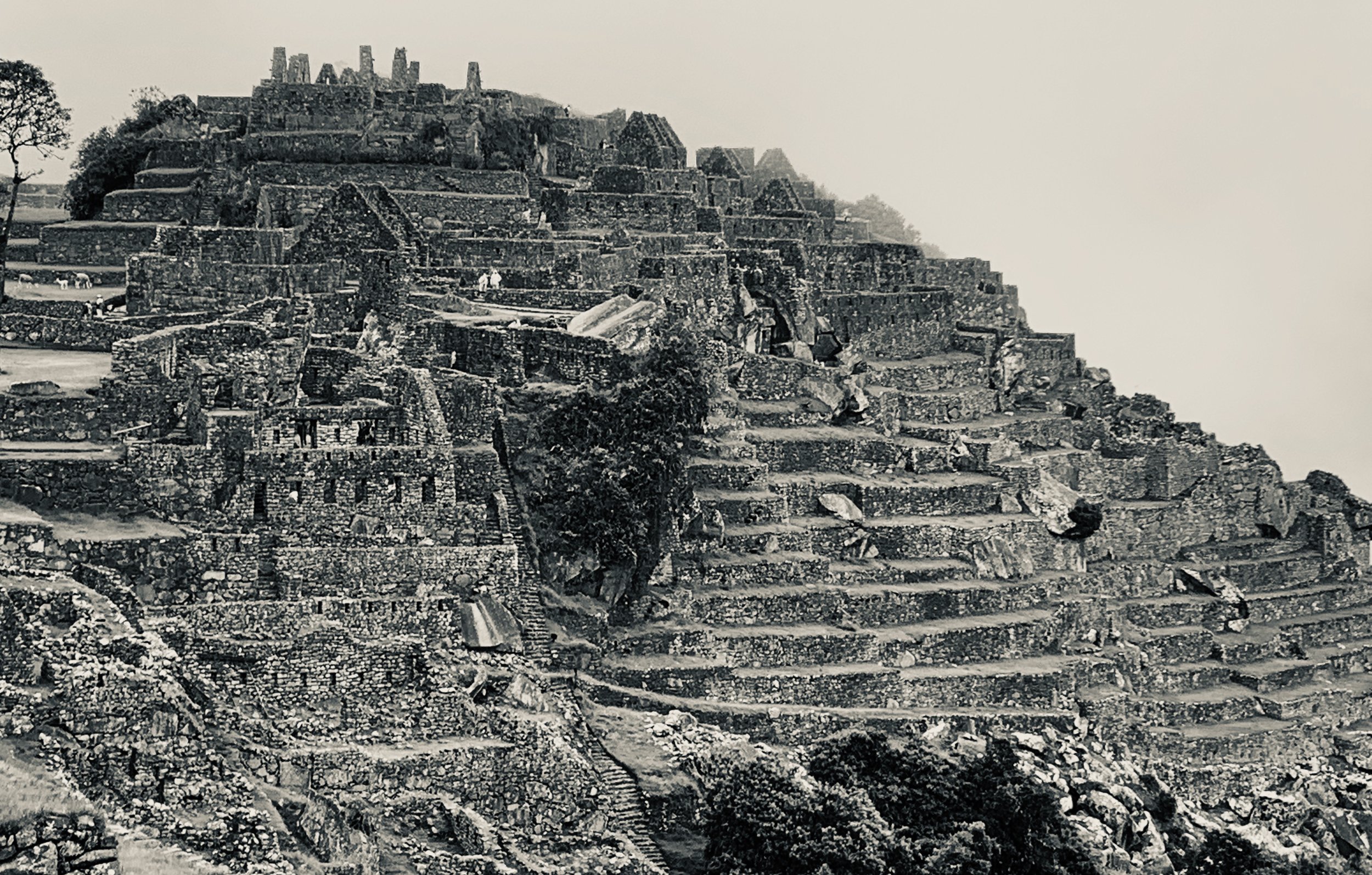
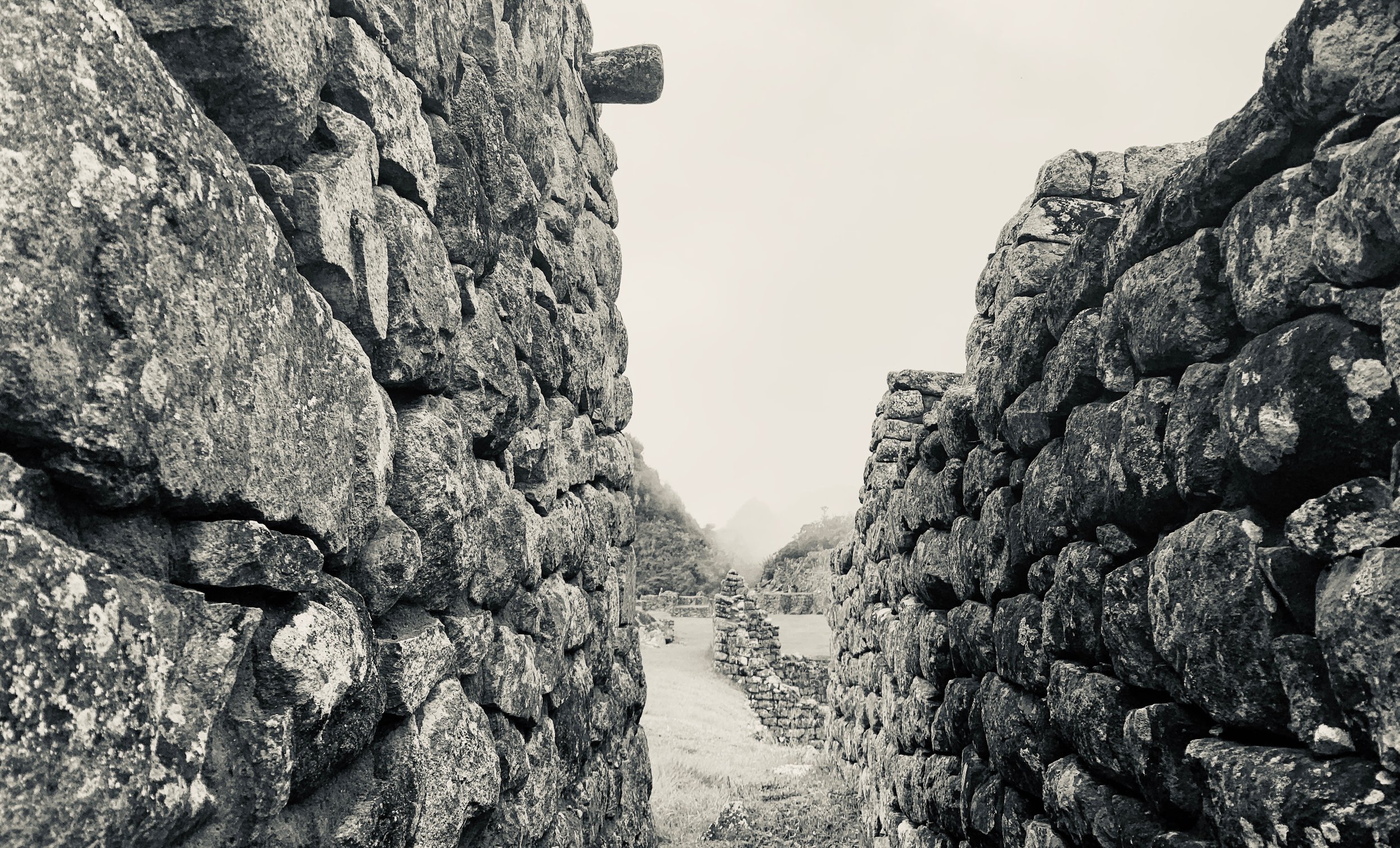
Machu Picchu In The Rain
How The Rainforest Got Its Name
Our early morning at the Machu Picchu control checkpoint
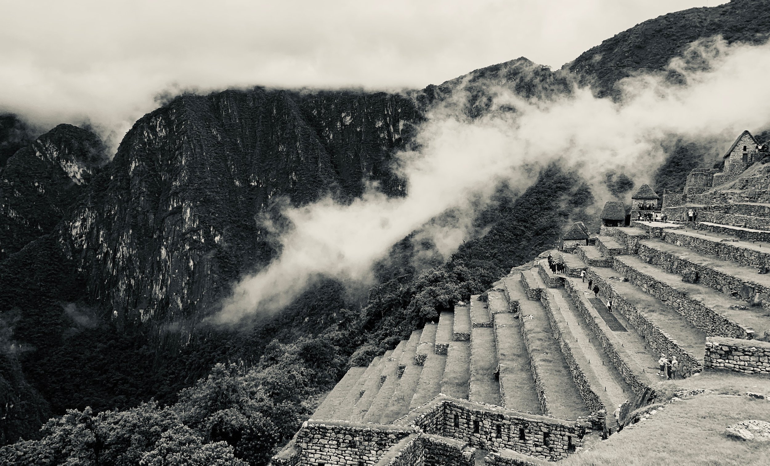
Our wakeup call on the last day was around 3:45AM so we could get to the control checkpoint before entering the Machu Picchu park. Being first in line essentially secures that you and your group don’t get stuck in the long line on the trail to enter Machu Picchu via the Sun Gate at sunrise.
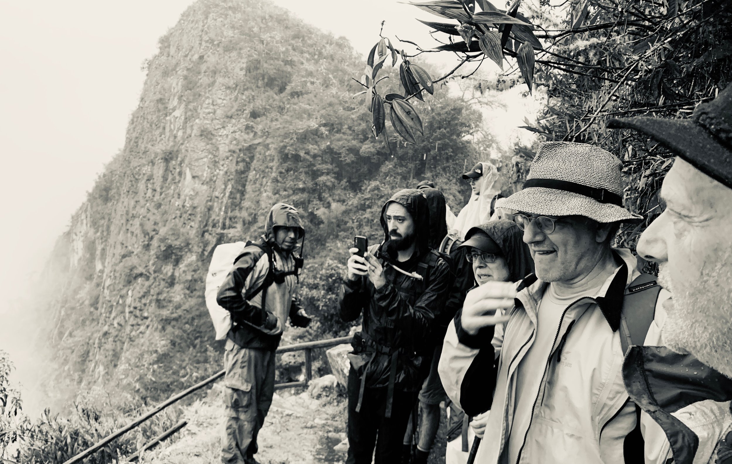
Unfortunately for us, we were first and it was pouring rain. A brilliant sunrise didn’t look likely. We took our breakfast by headlamp under a small shelter, telling stories and playing games, waiting for 5AM to come and the gate to open.
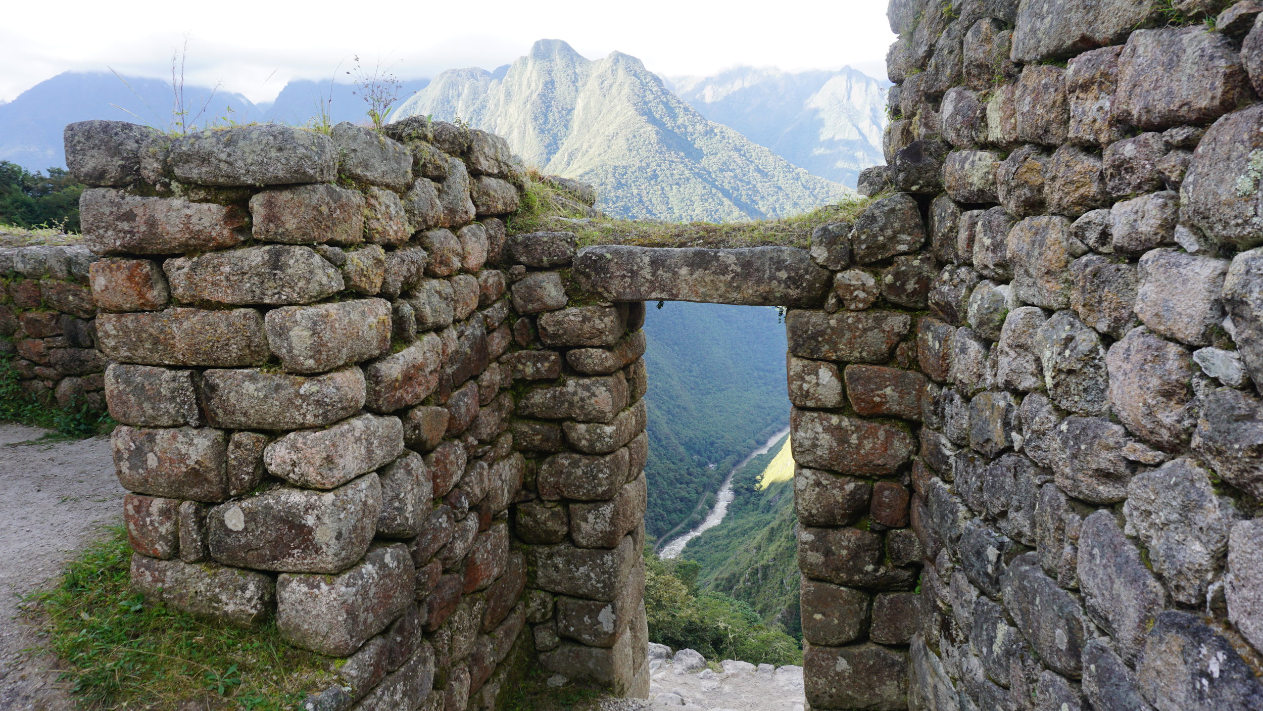
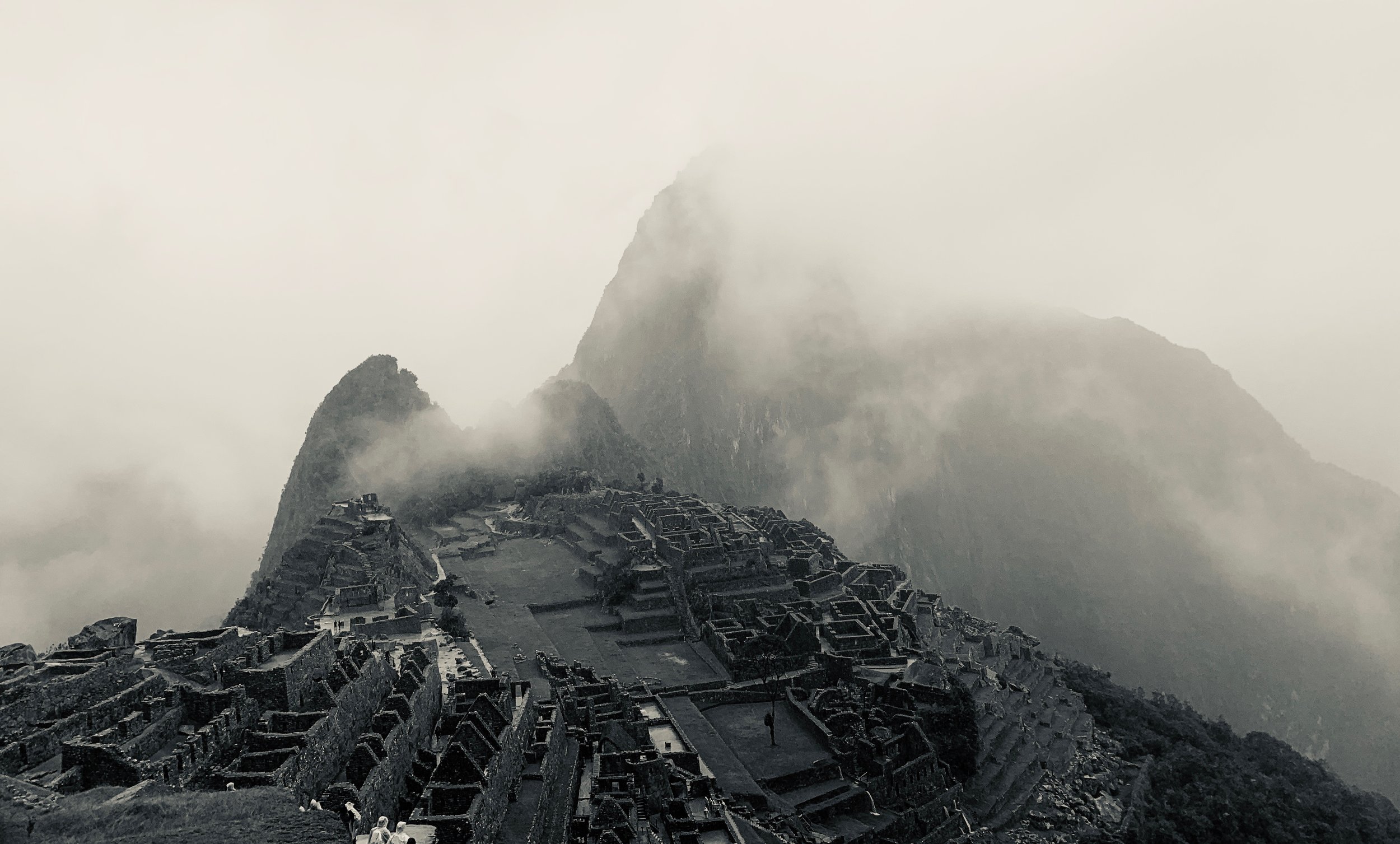
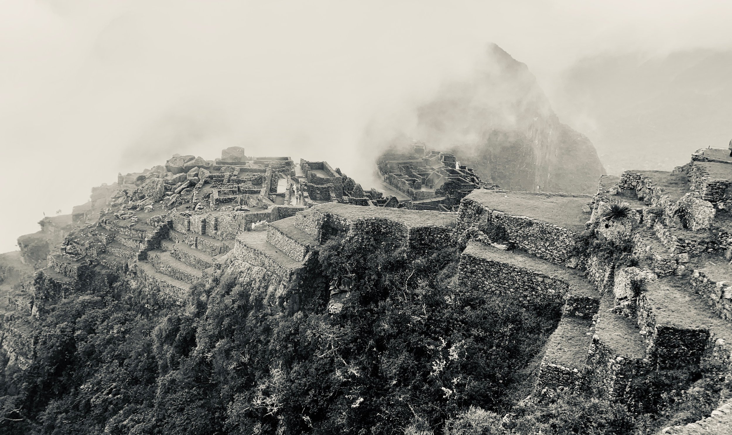
But we pressed on regardless, arriving at the Sun Gate after a steep climb up a section of the trail called the “Gringo Killer.” But even without the famed view, we walked quietly in the rain with the knowledge that on the other side of the fog and clouds was an immense space where an ancient citadel lived below.

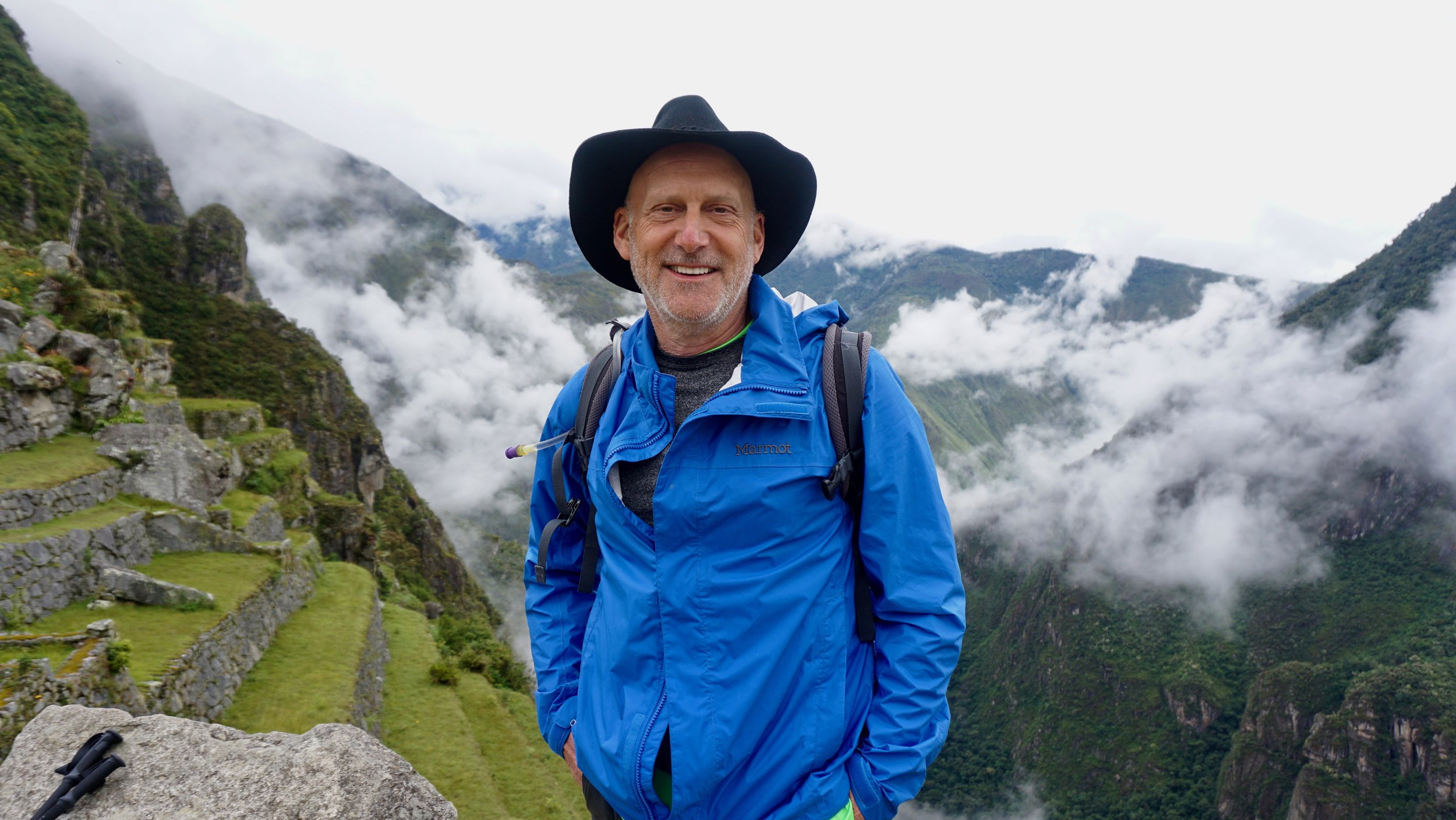
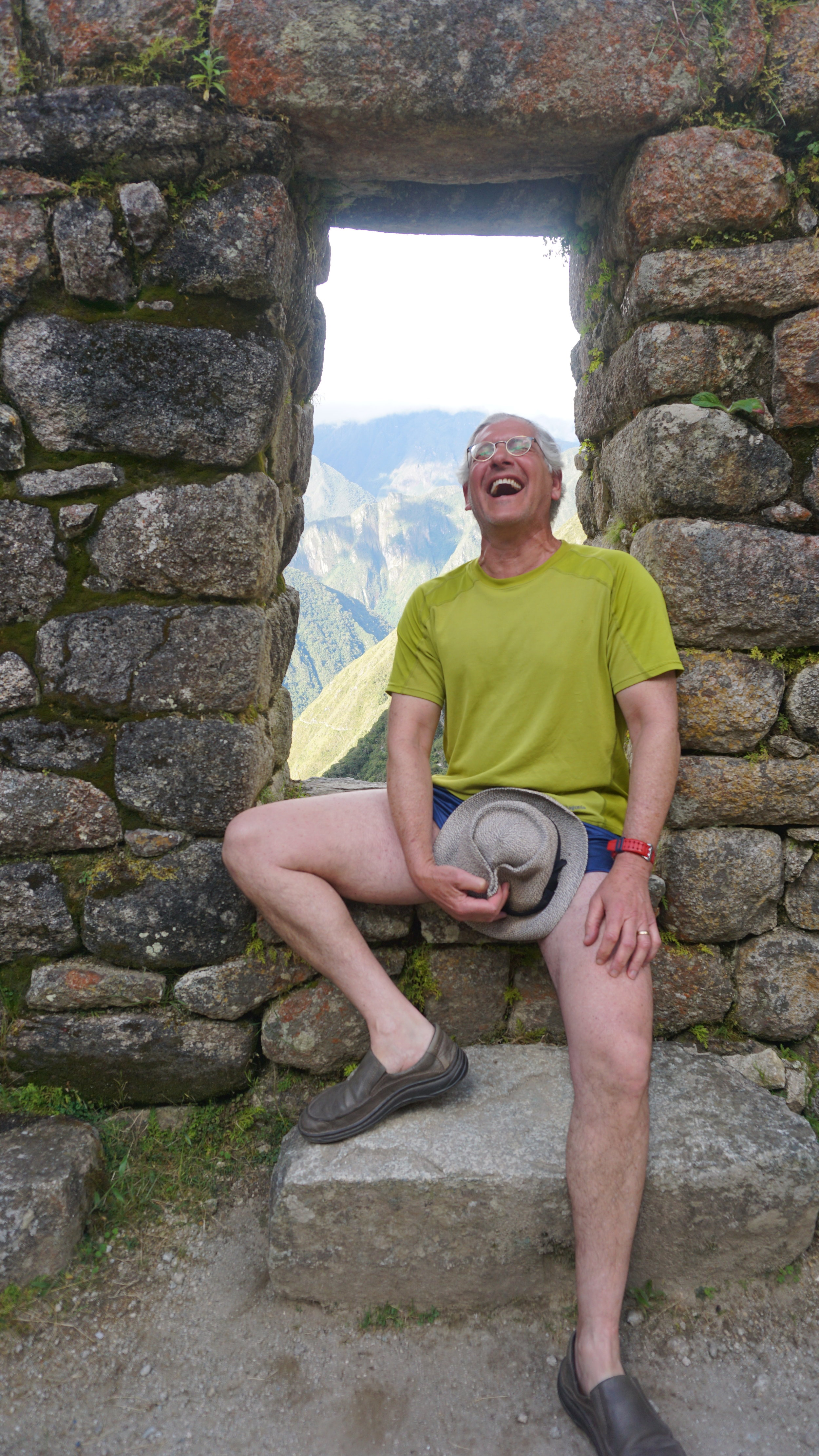
Bob, Zac, and I arriving at the Sun gate at dawn. It was clouded, foggy, and raining.
As we descended, the rain increased and there was a sense that we might miss the view entirely. But we had our moment, which I think was enhanced by our missing the “typical” moment of reveal, when the clouds finally parted and we were able to see the citadel below.


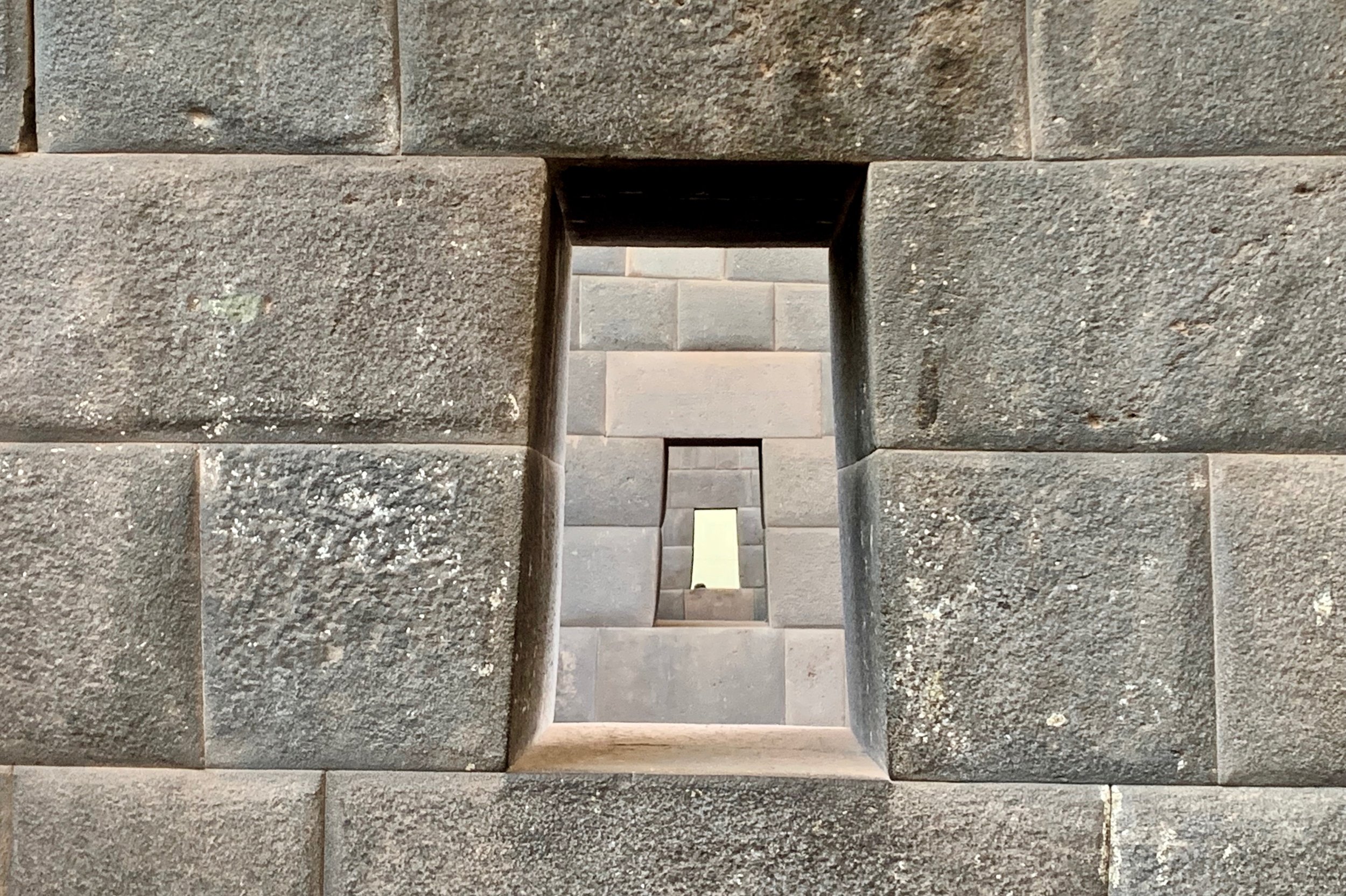
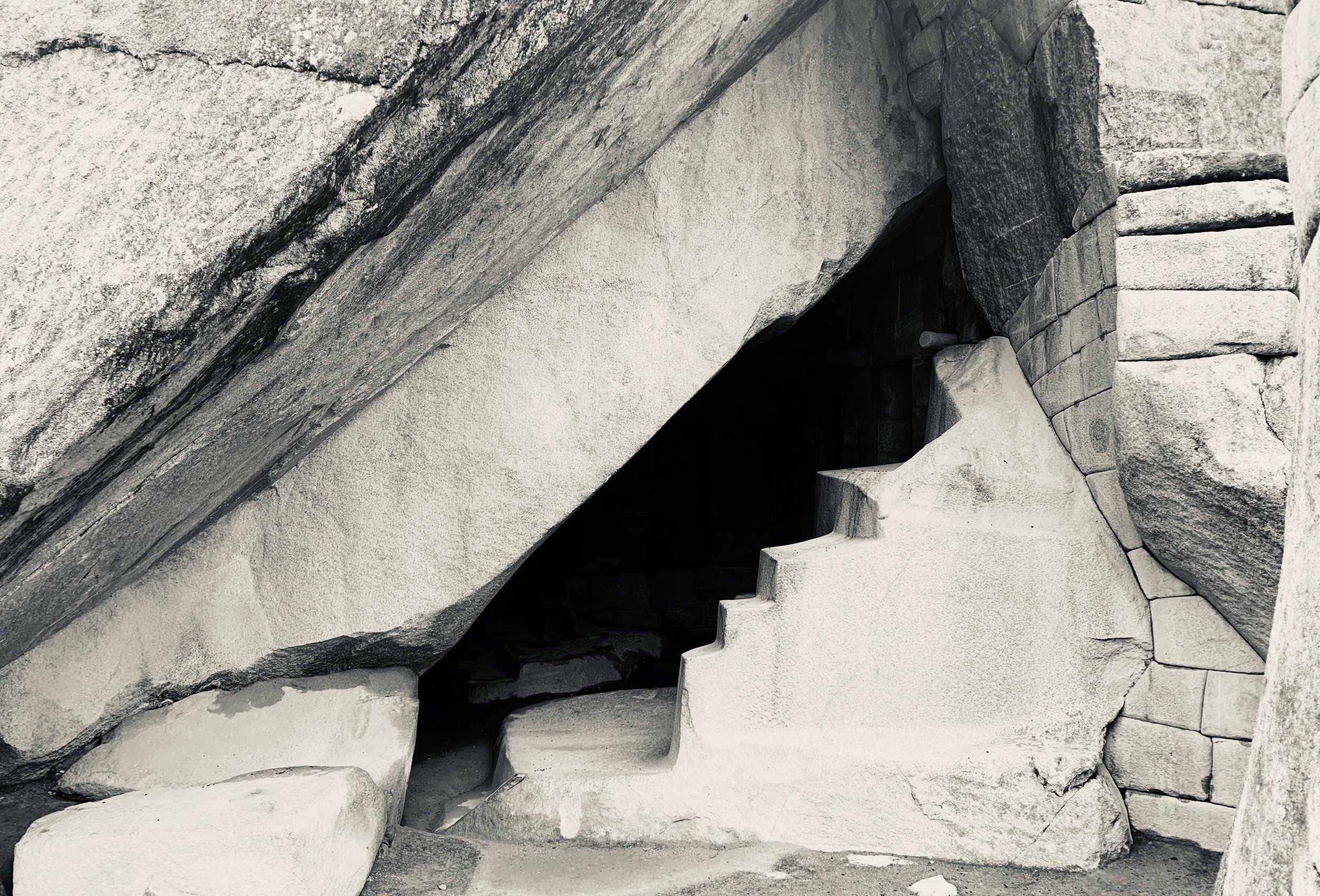
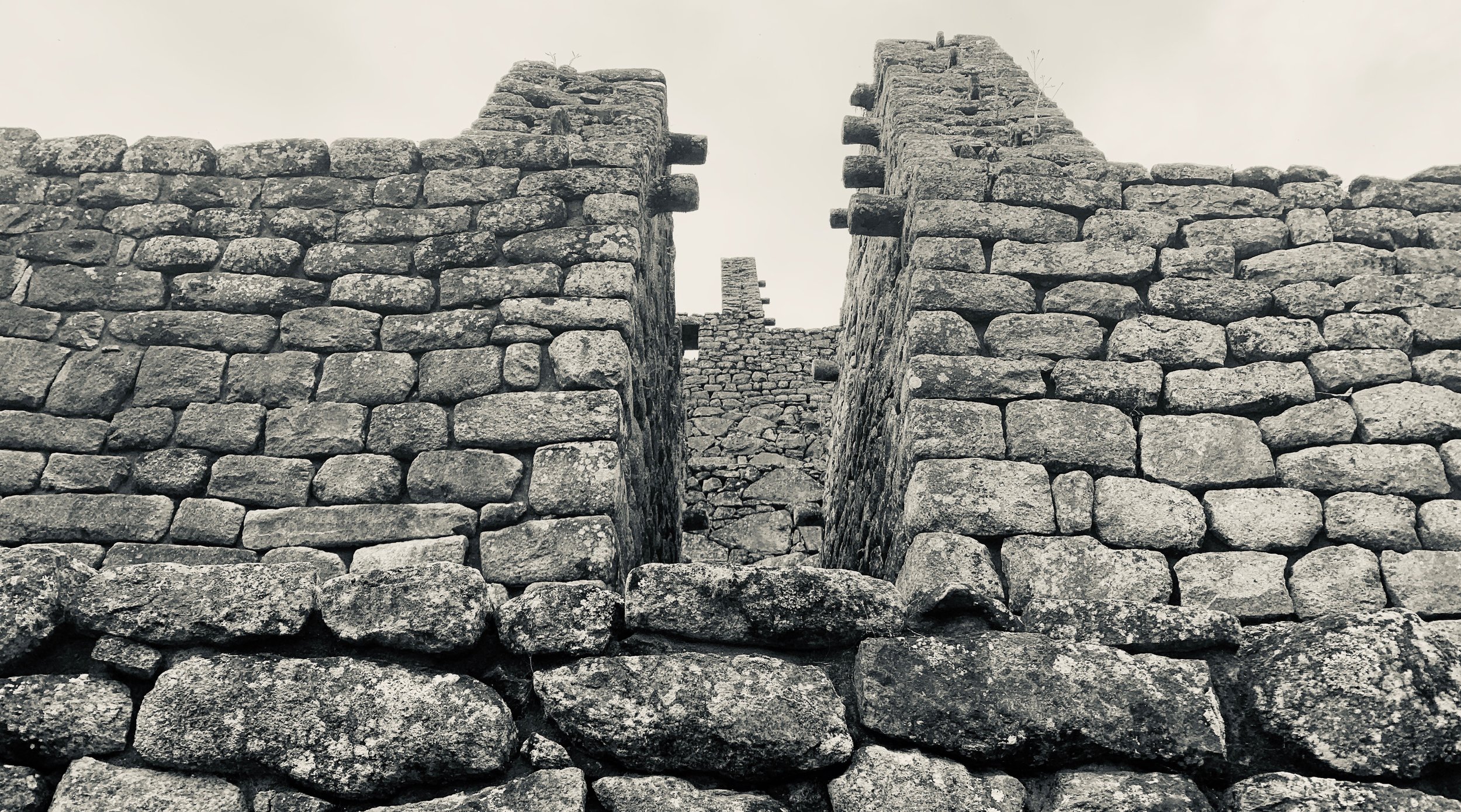
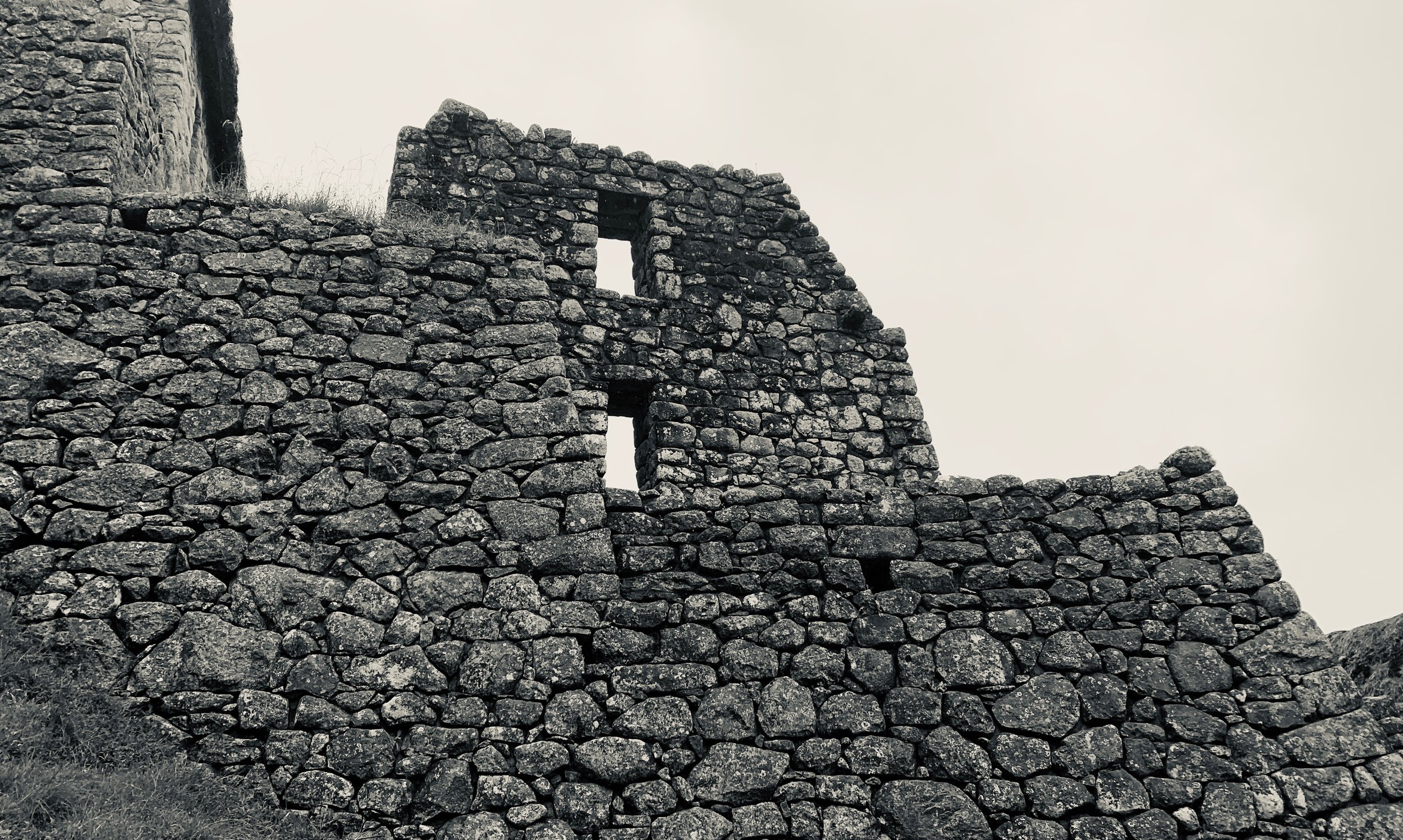
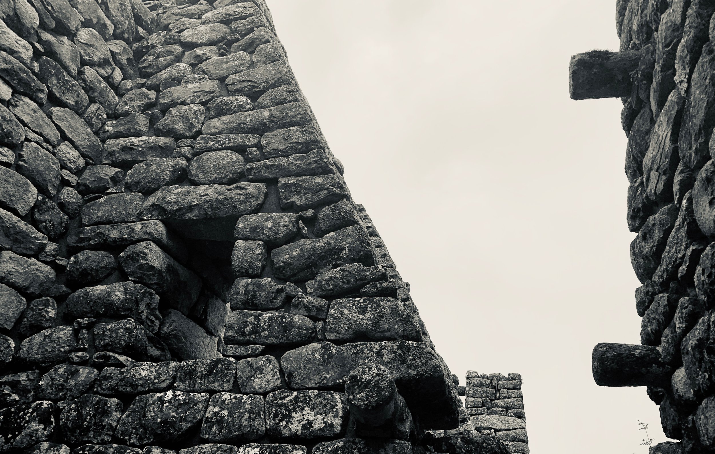
For a brief history if you’re unaware, Machu Picchu is a 15th-century Inca citadel. Most archaeologists believe that Machu Picchu was designed as a retreat-like estate for the Inca emperor, Pachacuti (1438–1472). The Inca built the site around 1450, taking about 100 years in total, but abandoned it a century later at the time of the Spanish conquest. They wanted to prevent the Spanish from accessing their sacred places. Even today, it remains a sacred place to the 5,972,606 indigenous Quechuas in Peru.
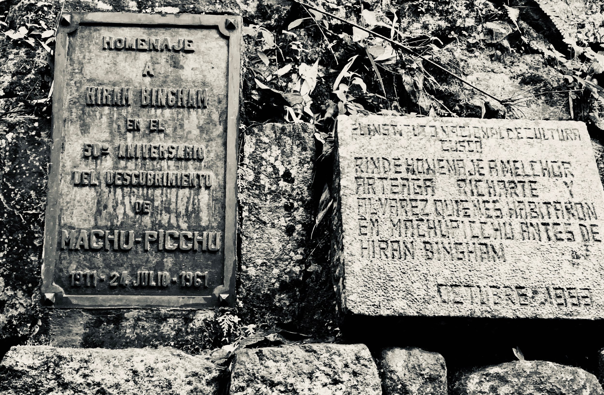
Although known to locals, it was not known to the Spanish during the colonial period - thank god. As our friend and guide, Reynaldo, showed us, the site remained hidden by design. After the conquistadores killed Atahualpa, the last Inca king, efforts to create landslides and hide sacred sites were wide spread. Machu Picchu thus remained unknown to the outside world until American historian Hiram Bingham brought it to international attention in 1911.
I am selfishly glad Bingham did find it, but there was a certain sadness I felt seeing so many people foreign to the land, myself included, wandering around with the impossible task of comprehending the breadth of this empire and the plight of its people for centuries to follow. I hope someday the Quechuas return to their seat of political power and that Machu Picchu may see its second renaissance.
Visiting Machu Picchu is every bit as magical an experience as you’ve heard about. If you have the ability to go, plan a trip and do it. I may have been cold and wet, but I wouldn’t trade the experience for the world.
Machu Picchu Photos
Use the controls to change photos. Hover over the photo for details.


To Return Home
A Joy. A Shame.

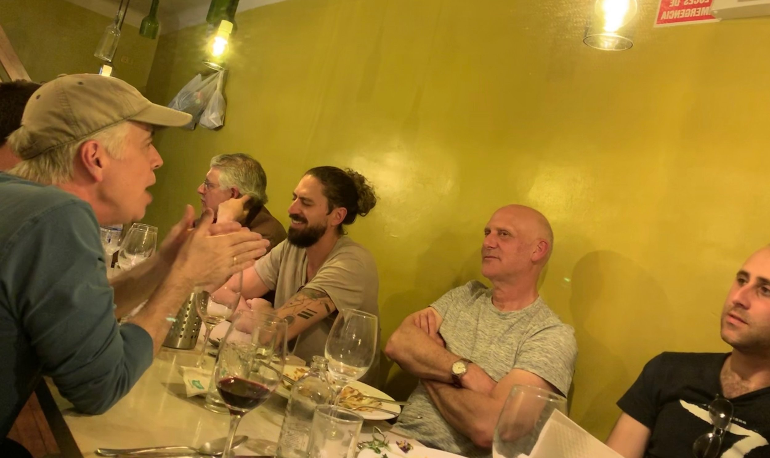
We took the train and a few busses back to Cusco. There aren’t enough words to describe how incredible the trip was. I’d do it again in a heartbeat. Peru is a fascinating place full of kind people, immense mountains and rivers, delicious and rich food, and a history as complicated and nuanced as any. I left a piece of my heart in Peru. I hope to come retrieve it someday.
I write this now feeling exhausted and without much mental clarity. I’m sure I’ll look back and want to refine what I’ve said, but for now it’s a pretty honest reflection of what I can muster and what hiking a trail like The Inca can do to a person. It will simultaneously drain and refresh you. I did not know what exactly to expect when we took off from Austin, but I certainly did not expect what we found.
I am eternally grateful to Bob for the invitation, to our new friends in Peru for making it possible, and to this grand planet on which we are so fortunate to live. Please continue taking care of it so that our children may also experience this place.

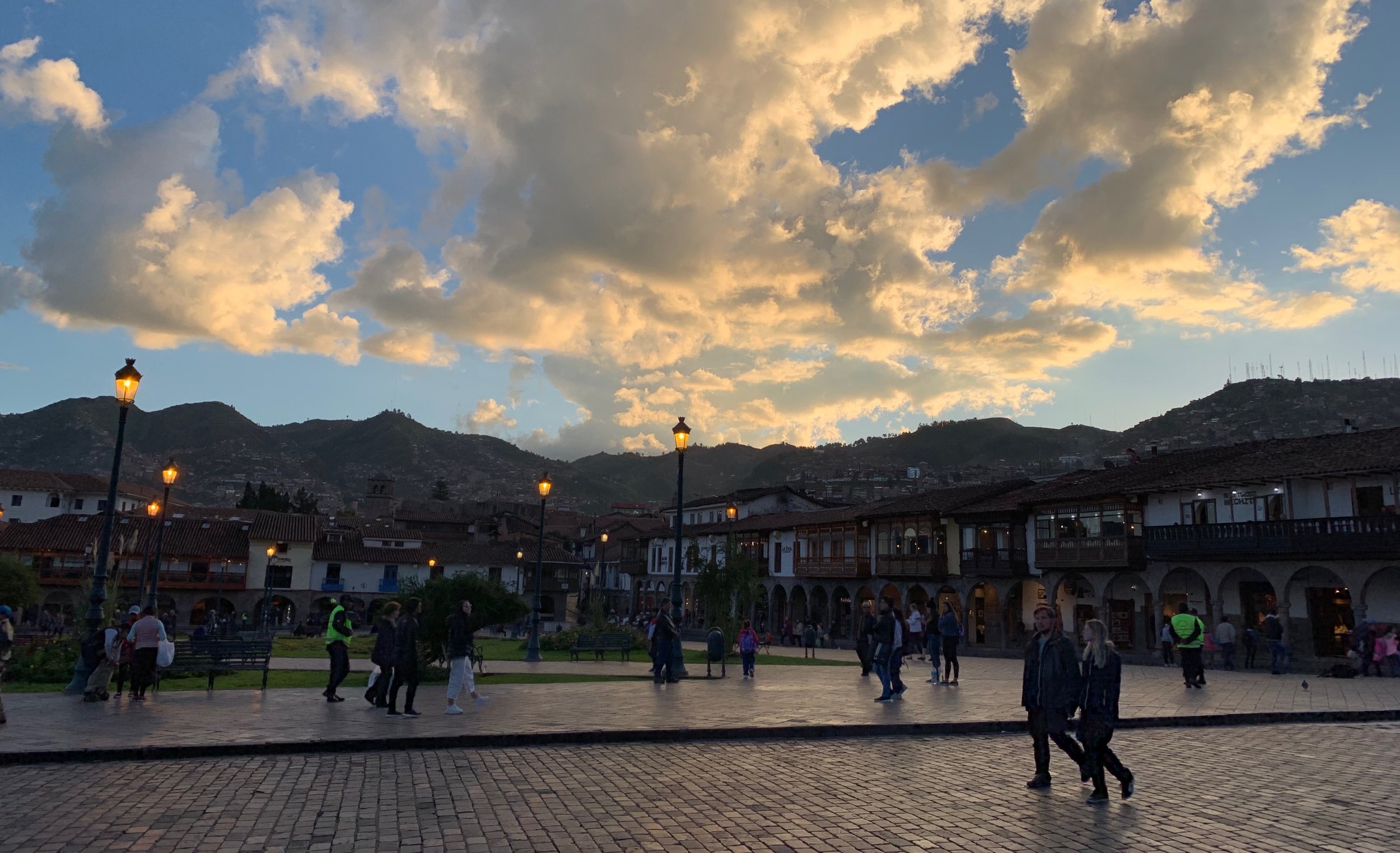
Last night in Cusco.
